Information
Landmark: DyrhólaeyCity: Vik
Country: Iceland
Continent: Europe
Dyrhólaey, Vik, Iceland, Europe
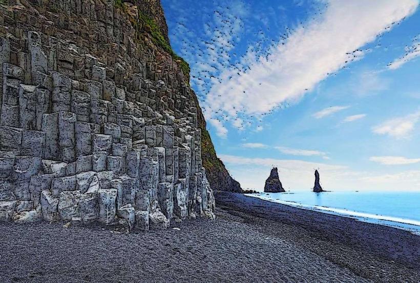
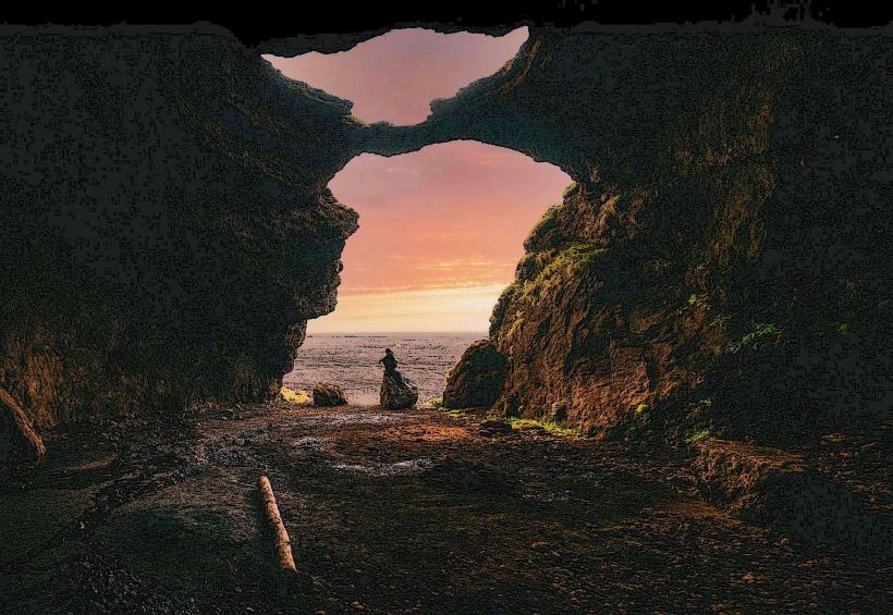
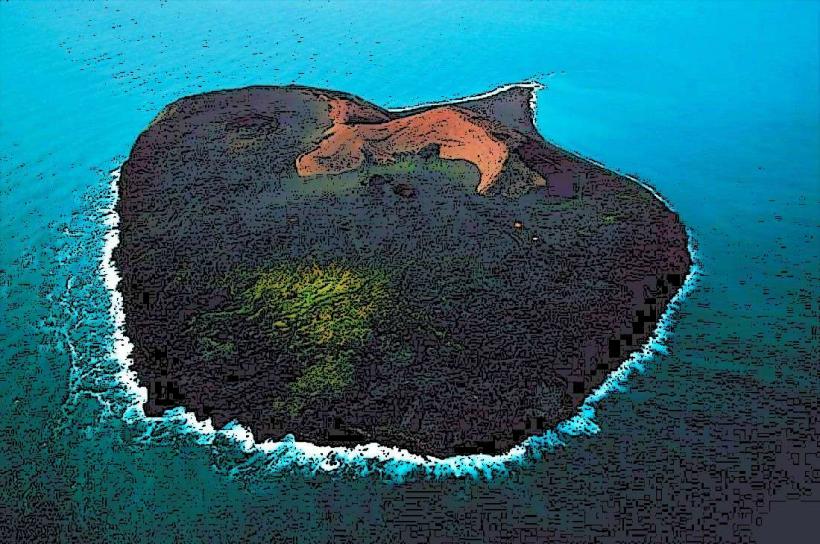
Dyrhólaey is a prominent rock arch and promontory situated on the south coast of Iceland, west of the village of Vik. This geological formation is a former island characterized by its distinctive natural arch extending into the Atlantic Ocean.
Visual Characteristics
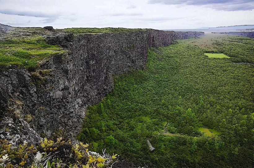
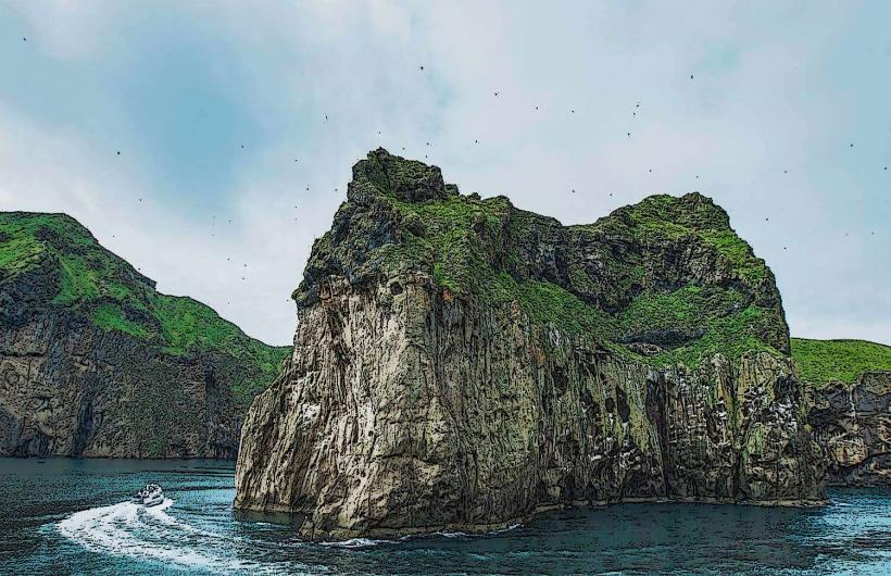
The promontory consists of black volcanic rock formations, including a large natural arch, approximately 120 meters high, through which small boats can pass. The cliffs are composed of columnar basalt. A white lighthouse with a red roof stands atop the highest point. The surrounding coastline features extensive black sand beaches, contrasting with the dark rock.
Location & Access Logistics
Dyrhólaey is located approximately 17 kilometers west of Vik í Mýrdal. Access is via Road 218, a paved road that branches south from Iceland's Route 1 (Ring Road). There are two parking areas: a lower lot near the beach and an upper lot at the summit of the promontory, accessible via a steep, winding road. Public transport does not directly serve Dyrhólaey; private vehicle is the primary mode of access.
Historical & Ecological Origin
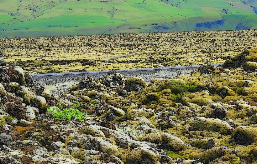
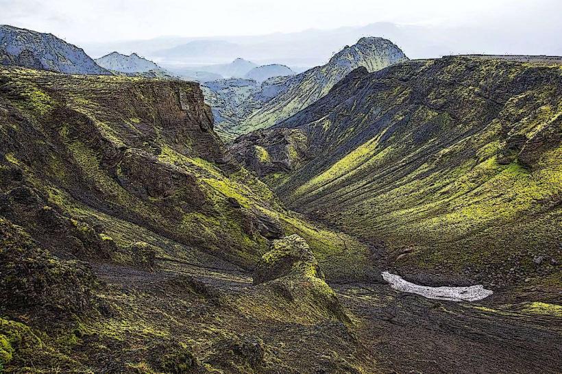
Dyrhólaey is a geological formation that originated as a submarine volcanic island during the last ice age. Marine erosion subsequently carved the distinctive arch and shaped the surrounding cliffs. The area is classified as a significant bird sanctuary, particularly known for its large colonies of puffins and other seabirds during nesting season.
Key Highlights & Activities
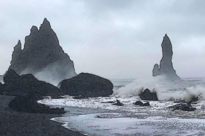
Observation of the natural rock arch from multiple viewpoints is a primary activity. Birdwatching, especially for puffins between May and August, is possible from designated viewing platforms. Photography of the coastline, including the black sand beaches and the Reynisdrangar sea stacks to the east, is a common pursuit. Walking trails provide access to different sections of the promontory.
Infrastructure & Amenities
A gravel parking area is available at the top of the promontory. Restroom facilities are typically located near the lower parking area or at the nearby Reynisfjara Black Sand Beach. There is minimal natural shade. Cell phone signal (4G/5G) is generally available. No permanent food vendors are present directly on the promontory, but options exist in Vik or at Reynisfjara.
Best Time to Visit
The summer months, from June to August, offer the mildest weather and the best opportunities for puffin observation. Early morning or late afternoon provides optimal lighting conditions for photography, casting long shadows and enhancing the textures of the rock formations. Visibility is best on clear days; fog can obscure views.
Facts & Legends
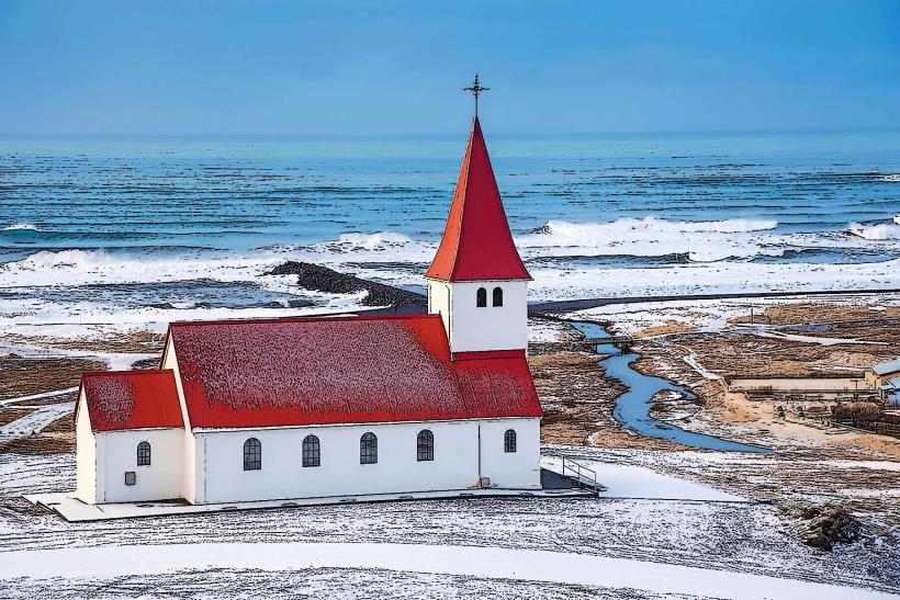
The name Dyrhólaey translates to "door-hole island," directly referencing the prominent arch. Historically, it was believed that the arch was formed by a giant who punched a hole through the rock. The lighthouse on the promontory, a significant navigational aid, was constructed in 1927.
Nearby Landmarks
- Reynisfjara Black Sand Beach: 5km East
- Reynisdrangar Sea Stacks: 5km East (visible from Dyrhólaey)
- Dyrhólaey Lighthouse: 0.1km North (on the same promontory)