Information
Landmark: Surtsey IslandCity: Vik
Country: Iceland
Continent: Europe
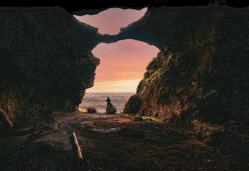
Surtsey Island, Vik, Iceland, Europe
Visual Characteristics
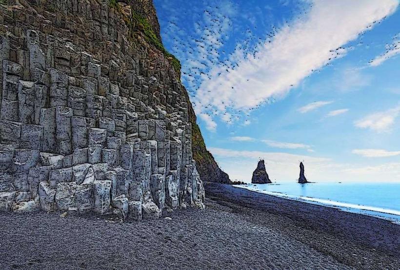
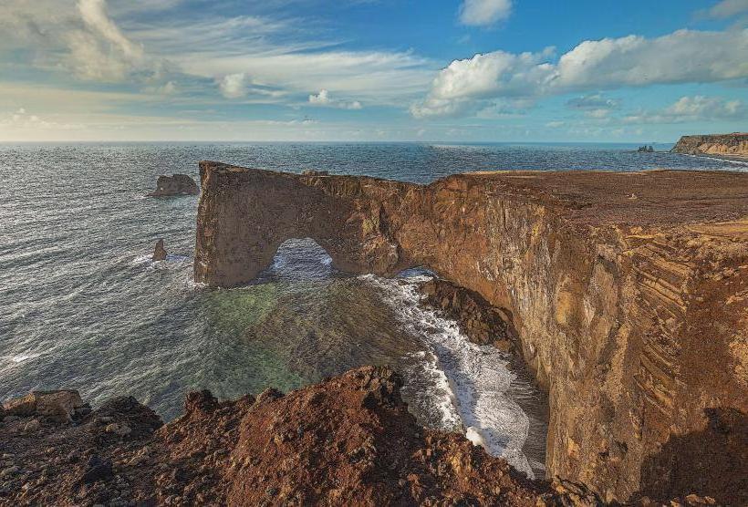
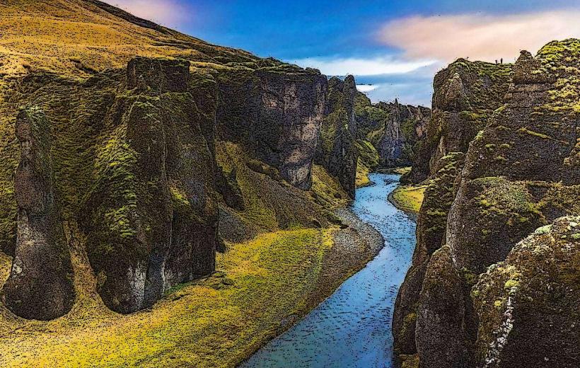
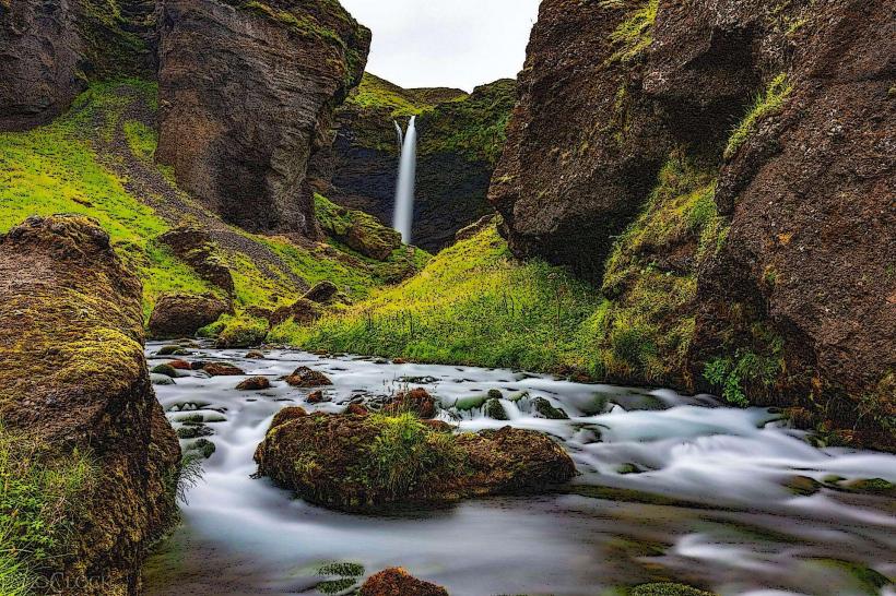
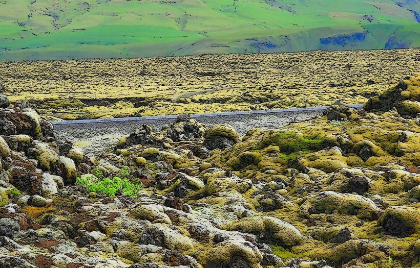
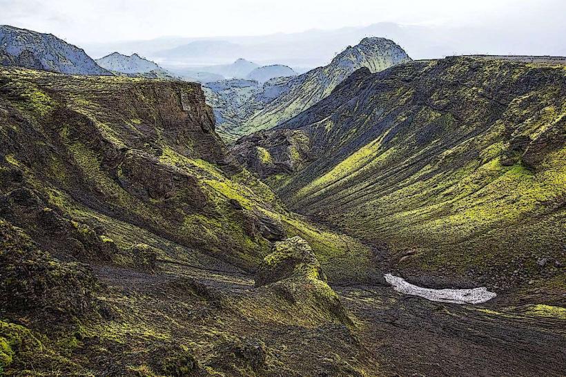
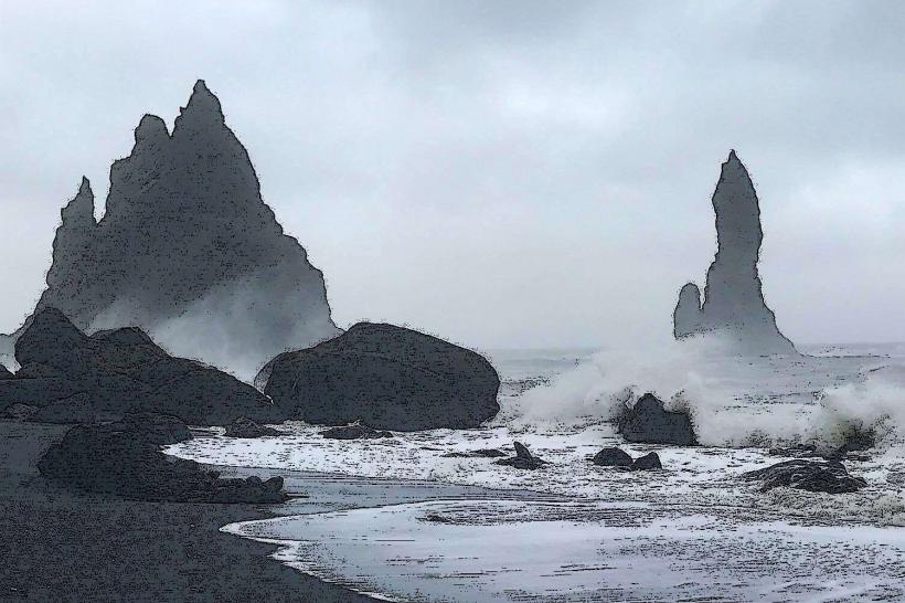
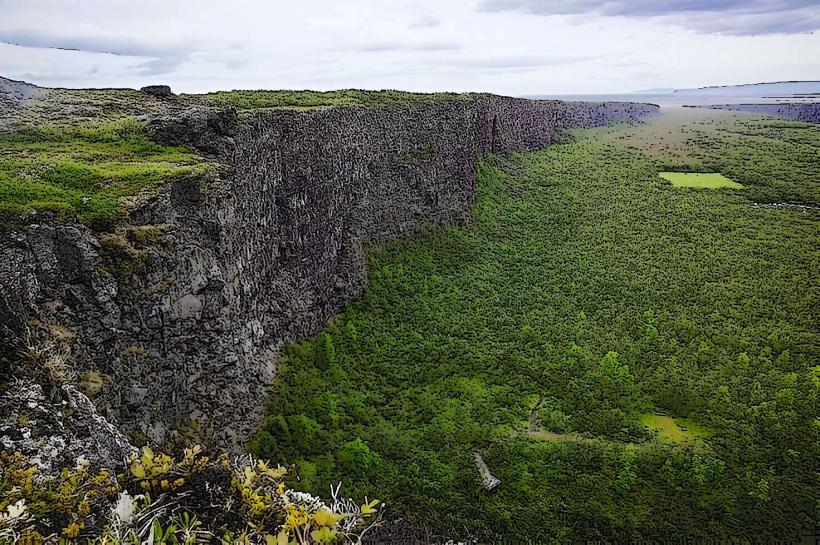
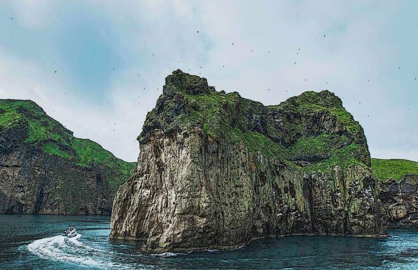
Surtsey Island consists primarily of black volcanic rock, solidified lava flows, and dark tephra deposits. Its coastline features steep cliffs and rocky shores, with no traditional sandy beaches. Early stages of vegetation include mosses, lichens, and some grasses, which appear as sparse green patches against the dark volcanic substrate. The island's highest point reaches approximately 155 meters above sea level.
Location & Access Logistics
Surtsey Island is situated in the Vestmannaeyjar archipelago, approximately 32 kilometers southwest of Heimaey, the main island of Vestmannaeyjar. Direct access to Surtsey is strictly prohibited for all visitors except for a limited number of scientists for research purposes. Public access is restricted to viewing from a distance. Boat tours departing from Heimaey, which is accessible via ferry from Landeyjahöfn (Route 254, approximately 70 kilometers west of Vik), may offer distant views of the island. Scenic flights from airports such as Bakki Airport or Reykjavík Domestic Airport also provide aerial observation opportunities. There are no roads, parking facilities, or public transport options on Surtsey itself.
Historical & Ecological Origin
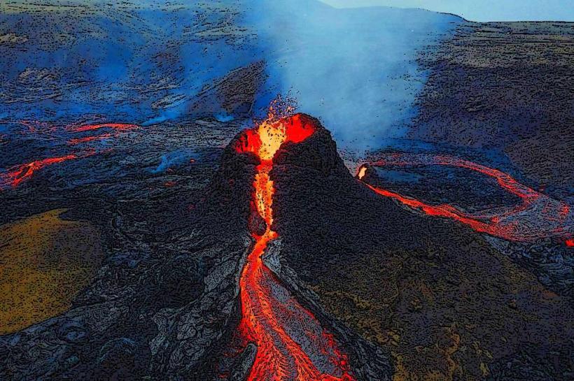
Surtsey Island was formed by a submarine volcanic eruption that commenced on November 14, 1963, and concluded on June 5, 1967. The eruption created new land from the ocean floor, making it a prime example of primary ecological succession. Geologically, it is classified as a basaltic tuff island, part of the Vestmannaeyjar volcanic system.
Key Highlights & Activities
Due to its status as a strictly protected natural laboratory, no landing or direct exploration is permitted on Surtsey Island. The primary activity available to the public is distant observation via organized boat tours or aerial sightseeing flights. These tours focus on viewing the island's unique geological formations and observing the ongoing process of biological colonization from a safe, regulated distance.
Infrastructure & Amenities
Surtsey Island has no visitor infrastructure or amenities. There are no restrooms, designated shade areas, food vendors, or permanent facilities for the public. Cell phone signal (4G/5G) may be intermittent or unavailable depending on the distance from the mainland or Heimaey.
Best Time to Visit
The best time to view Surtsey Island from a boat or aircraft is during the summer months, from June to August. This period generally offers calmer sea conditions and extended daylight hours, which are favorable for tours. Weather in the region can be unpredictable, so clear skies are not guaranteed. There are no specific tide requirements for viewing, as landing is not permitted.
Facts & Legends
Surtsey Island was designated a UNESCO World Heritage site in 2008 due to its outstanding universal value as a natural laboratory. It provides a unique, undisturbed long-term study site for the colonization process of new land by plants and animals. A verified historical oddity is that the island was named after Surtr, a fire giant from Norse mythology, reflecting its fiery volcanic birth.
Nearby Landmarks
- Heimaey Island (Vestmannaeyjar) - 32km Northeast
- Bjarnarey Island (Vestmannaeyjar) - 35km Northeast
- Elliðaey Island (Vestmannaeyjar) - 35km Northeast
- Álsey Island (Vestmannaeyjar) - 28km Northeast