Information
Landmark: Eldhraun Lava FieldCity: Vik
Country: Iceland
Continent: Europe
Eldhraun Lava Field, Vik, Iceland, Europe
Visual Characteristics
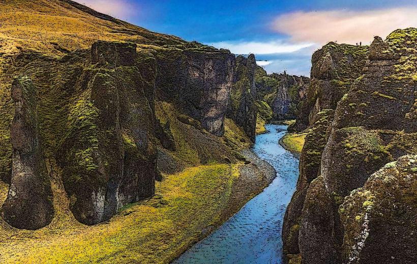
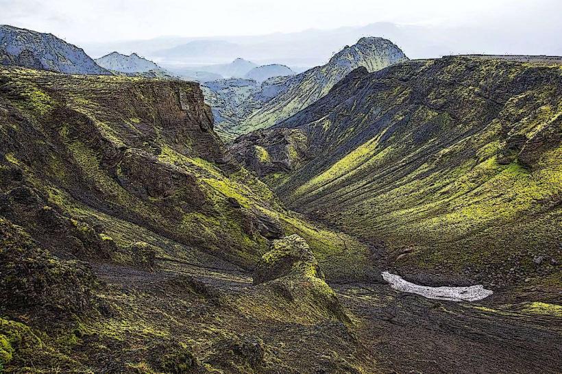
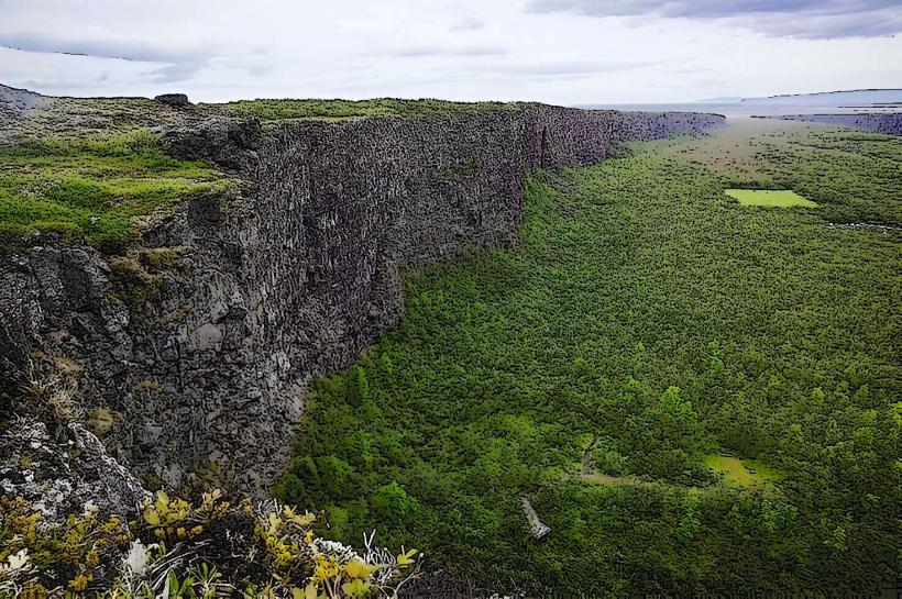
The Eldhraun Lava Field consists of solidified basaltic lava, characterized by its irregular, bulbous formations. The entire field is covered by a thick, soft layer of bright green woolly fringe moss (Racomitrium lanuginosum), which gives the landscape a uniform, undulating texture. The underlying lava is dark grey to black. The terrain is generally flat to gently rolling, with no significant vertical structures.
Location & Access Logistics
The Eldhraun Lava Field is situated directly alongside the Ring Road (Route 1) in South Iceland. It spans a significant distance, with its central accessible sections approximately 70 km east of Vik and 25 km west of Kirkjubæjarklaustur. Multiple designated pull-offs and small parking areas are available directly off Route 1, allowing for roadside observation. Access is primarily by private vehicle; there are no specific public transport routes directly serving the field itself.
Historical & Ecological Origin
The Eldhraun Lava Field was formed during the Lakagígar eruption (Laki eruption), which occurred from 1783 to 1784. This effusive eruption released an estimated 14 cubic kilometers of basaltic lava, making it one of the largest in historical times. The field is classified as a flood basalt lava field. The distinctive moss covering developed over the centuries following the eruption, colonizing the solidified lava rock.
Key Highlights & Activities
Observation of the unique moss-covered landscape from designated viewpoints along Route 1. Short walks are permissible on marked paths to protect the fragile moss. Photography of the expansive, textured terrain is a primary activity.
Infrastructure & Amenities
No dedicated restrooms or visitor centers are present directly within the Eldhraun Lava Field. The site offers no shade structures. Cell phone signal (4G/5G) is generally available along the adjacent Route 1. There are no food vendors directly at the site; the nearest services are located in Kirkjubæjarklaustur or Vik.
Best Time to Visit
For photography, early morning or late afternoon light enhances the texture and contours of the moss-covered lava. The summer months (June through August) offer the mildest temperatures and longest daylight hours, providing optimal conditions for visitation. No specific tide requirements apply to this terrestrial landmark.
Facts & Legends
The Lakagígar eruption that formed Eldhraun had a profound global impact, causing a severe famine in Iceland and contributing to climate anomalies across the Northern Hemisphere. The moss covering the lava field is extremely fragile; walking off marked paths can cause damage that takes decades to recover.
Nearby Landmarks
- Laufskálavarða: A collection of stone cairns, approximately 0.5km West of the western accessible edge of Eldhraun.
- Systrafoss: A waterfall, approximately 2km North-East from the eastern accessible edge of Eldhraun, near Kirkjubæjarklaustur.
- Systrastapi: A distinctive rock formation, approximately 2.5km North-East from the eastern accessible edge of Eldhraun, near Kirkjubæjarklaustur.