Information
Landmark: Gígjökull GlacierCity: Vik
Country: Iceland
Continent: Europe
Gígjökull Glacier, Vik, Iceland, Europe
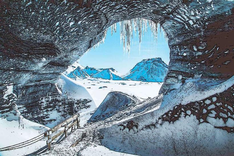
Gígjökull Glacier is an outlet glacier of the Eyjafjallajökull ice cap, situated in southern Iceland. It is located north of the Ring Road (Route 1), approximately 60 kilometers northwest of Vík.
Visual Characteristics
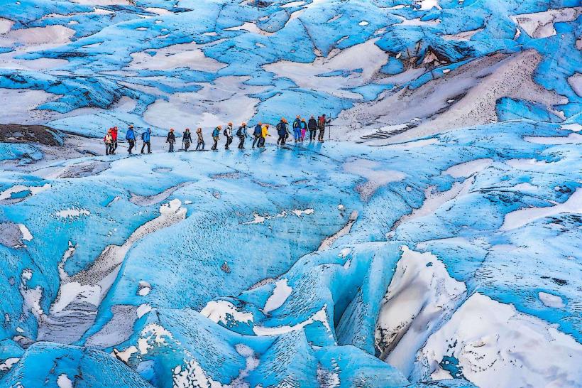
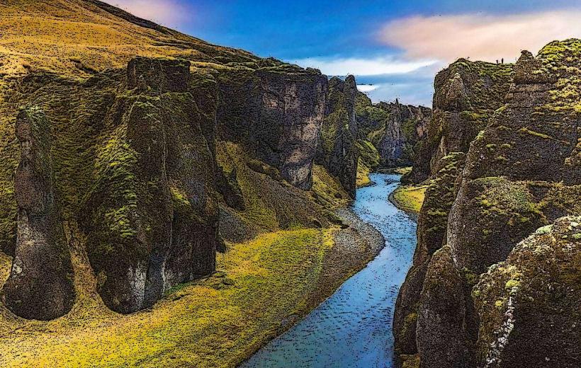
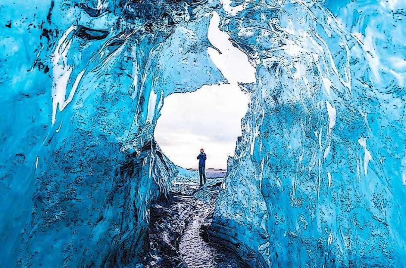
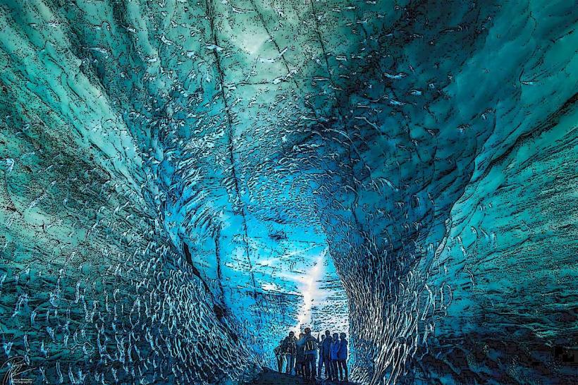
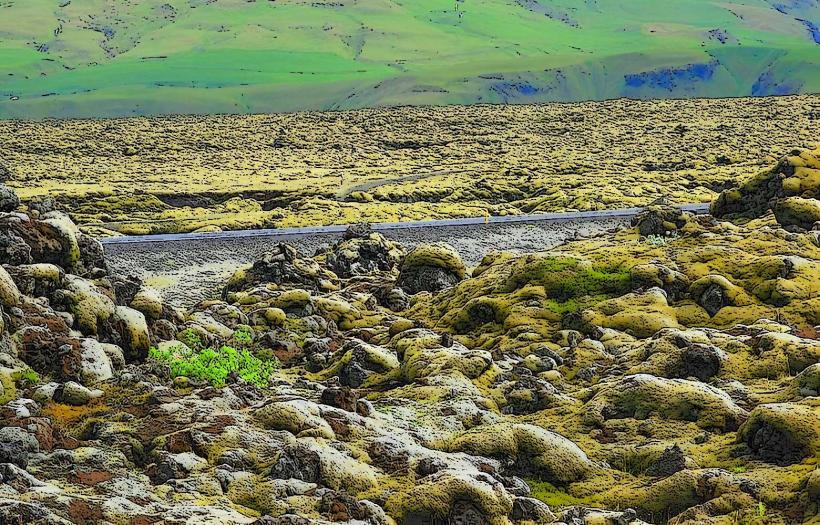
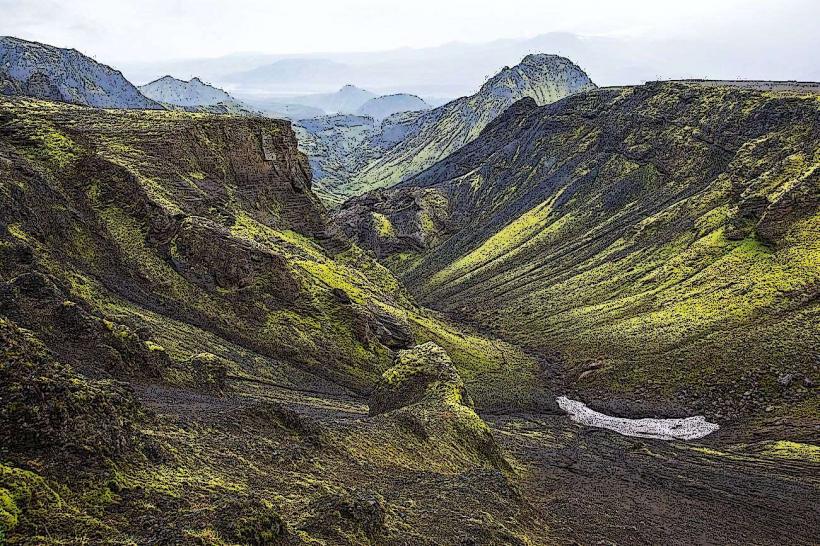
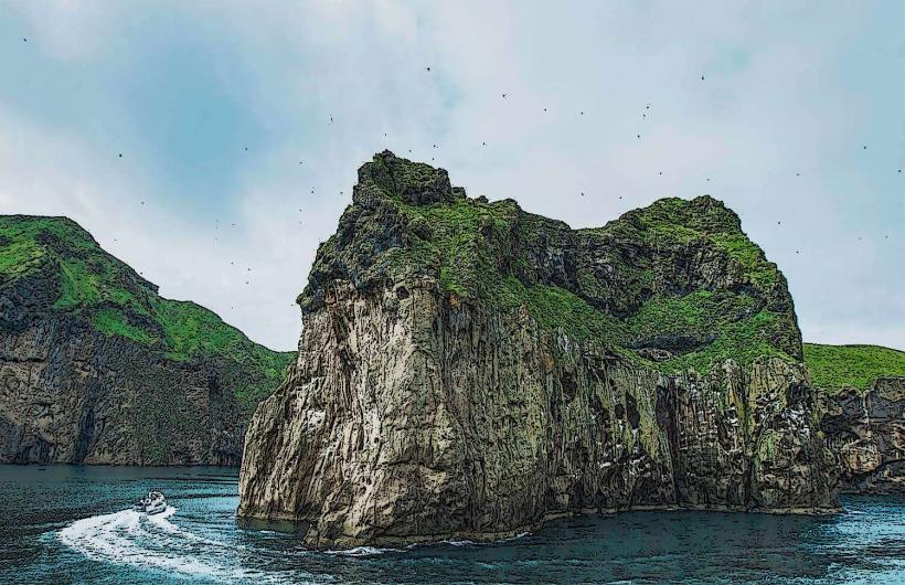
The glacier presents as a tongue of ice descending from the larger Eyjafjallajökull ice cap. At its base lies Gígjökulslón, a proglacial lake often containing meltwater and ice fragments. The ice itself ranges from white to grey, frequently marked by layers of volcanic ash. The surrounding terrain is rugged, characterized by volcanic rock formations and sparse vegetation.
Location & Access Logistics
Access to Gígjökull Glacier is primarily via the F249 gravel road, which branches north from Route 1. This F-road is typically only navigable by 4x4 vehicles, especially closer to the glacier, and may involve river crossings. The glacier is approximately 60-70 kilometers northwest of Vík. Limited, unpaved parking areas are available near the end of the accessible road. There are no public transport options directly to the glacier; private vehicle or guided tour is required.
Historical & Ecological Origin
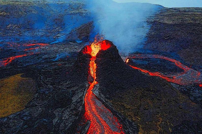
Gígjökull is an outlet glacier, a component of the larger Eyjafjallajökull ice cap. Glaciers form from the long-term accumulation and compaction of snow. The ice cap itself overlies an active volcano. The site gained prominence during the 2010 eruption of Eyjafjallajökull, when meltwater from Gígjökull caused a significant jökulhlaup (glacial outburst flood).
Key Highlights & Activities
Viewing the glacier and its proglacial lake, Gígjökulslón, is the primary activity. Photography of the ice formations and the volcanic landscape is common. Hiking is possible on designated trails in the surrounding area, though conditions can change rapidly due to glacial activity. Observing the effects of glacial retreat and volcanic processes is also a key aspect of a visit.
Infrastructure & Amenities
There are no restrooms or dedicated shade structures directly at Gígjökull Glacier. The landscape is open and exposed. Cell phone signal (4G) is generally available but can be intermittent on the F249 road. No food vendors are present at the glacier; visitors must bring their own provisions. The nearest facilities and food options are located along Route 1.
Best Time to Visit
The optimal period for visiting Gígjökull Glacier is from June to September, when F-roads are typically open and road conditions are most favorable. Access outside these months is often restricted due to snow and ice. Mid-morning to late afternoon offers optimal lighting for photography of the ice and surrounding landscape. There are no specific high/low tide requirements for glacier visits.
Facts & Legends
During the 2010 eruption of Eyjafjallajökull, the meltwater from Gígjökull caused a massive jökulhlaup, which destroyed parts of the F249 road and significantly impacted the Markarfljót River. A practical tip for visitors is to verify the current status and accessibility of the F249 road before attempting the journey, as it often requires a high-clearance 4x4 vehicle and involves unbridged river crossings.
Nearby Landmarks
- Gígjökulslón (Proglacial Lake): 0.1km North
- Eyjafjallajökull Ice Cap: 1km North
- Markarfljót River: 2km South