Information
Landmark: Mýrdalsjökull GlacierCity: Vik
Country: Iceland
Continent: Europe
Mýrdalsjökull Glacier, Vik, Iceland, Europe
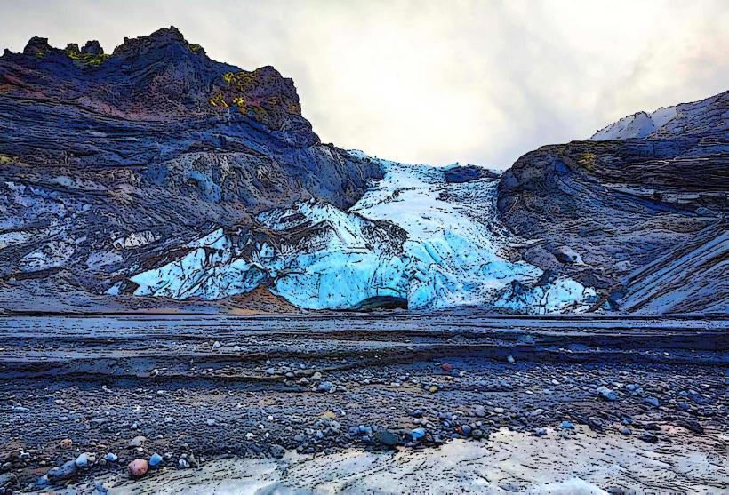
Mýrdalsjökull is an ice cap located in southern Iceland, covering the active volcano Katla. It is situated north of the village of Vik.
Visual Characteristics
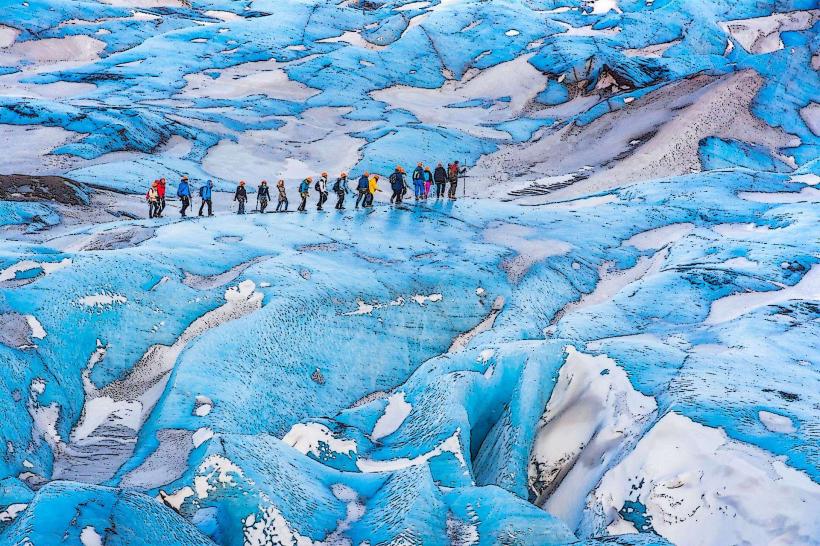
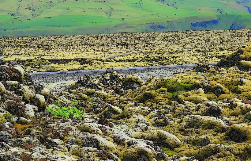
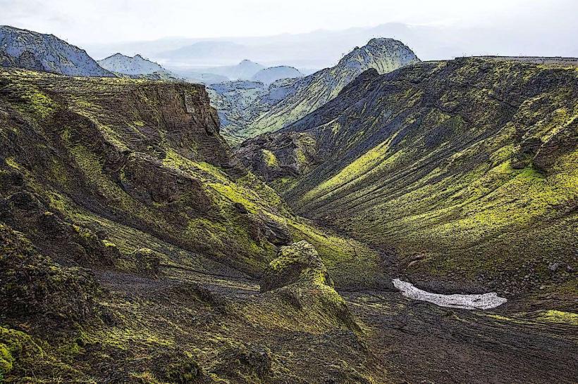
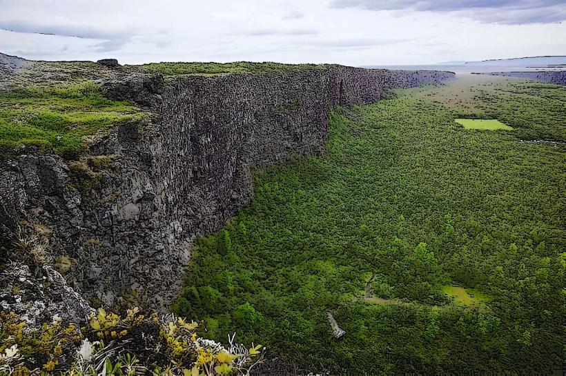
Mýrdalsjökull is a large ice cap, predominantly white and blue, with visible dark ash layers from past volcanic eruptions. It covers approximately 596 square kilometers and reaches a maximum elevation of 1,493 meters above sea level. Outlet glaciers, such as Sólheimajökull and Kötlujökull, extend from the main ice mass, presenting as rugged, heavily crevassed ice tongues.
Location & Access Logistics
The glacier is located directly north of Vik. Access points to its outlet glaciers, like Sólheimajökull, are typically reached via gravel roads branching off Iceland's Ring Road (Route 1). From Vik, the drive to the Sólheimajökull parking area is approximately 30 kilometers west on Route 1. Parking is available at designated tour meeting points or trailheads. Direct public transport to the glacier itself is not available; access requires a private vehicle or participation in a guided tour.
Historical & Ecological Origin
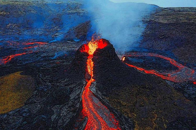
Mýrdalsjökull is an ice cap overlying the caldera of Katla, an active stratovolcano. The ice cap formed over millennia from the accumulation and compaction of snowfall. Katla is known for its frequent and powerful subglacial eruptions, which historically trigger significant jökulhlaups (glacial outburst floods). Geologically, it is classified as an ice cap covering an active subglacial volcano.
Key Highlights & Activities
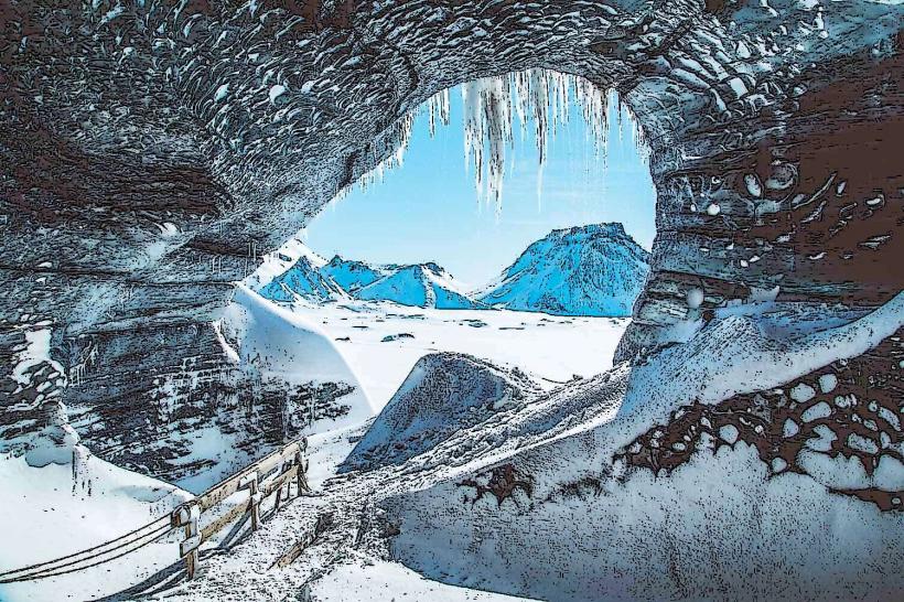
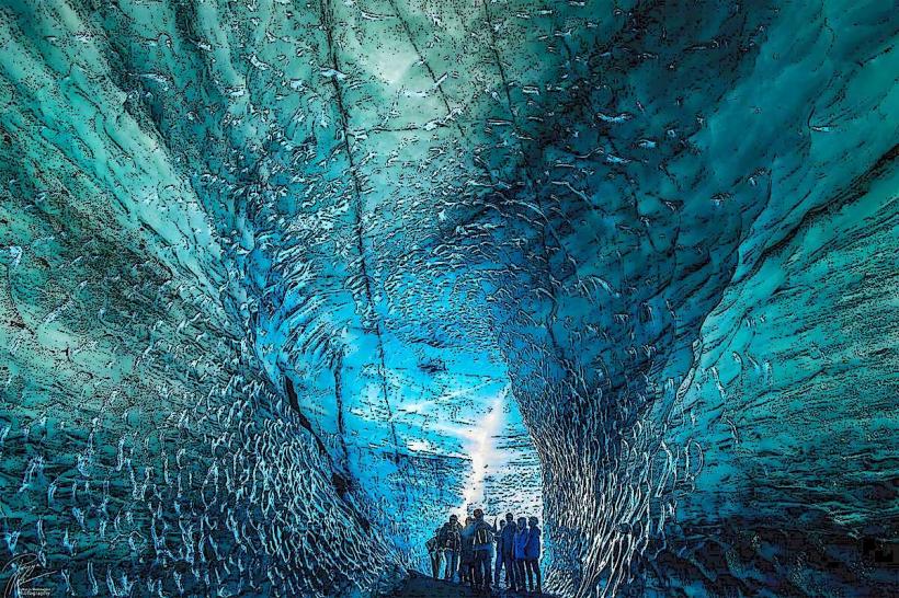
Glacier hiking is a primary activity, typically conducted on outlet glaciers such as Sólheimajökull with certified guides. During winter months, ice cave exploration is possible, subject to specific conditions and guide availability. Snowmobiling tours operate across parts of the ice cap. Super Jeep tours provide access to more remote sections of the glacier.
Infrastructure & Amenities
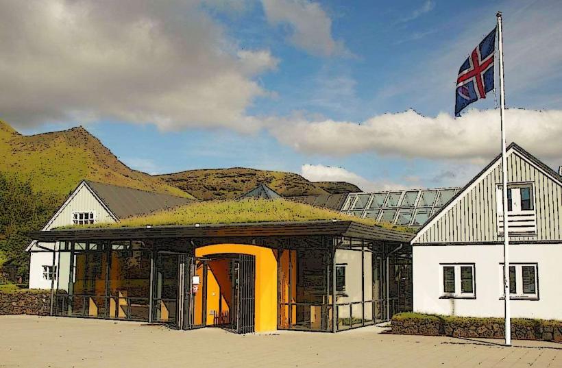
Restrooms are generally available at visitor centers or tour operator bases near glacier access points, such as the Sólheimajökull parking area. There is no natural shade directly on the glacier. Cell phone signal (4G/5G) can be intermittent or absent on the glacier itself, but is typically available at access points and along Route 1. Food vendors are usually located at visitor centers or gas stations along Route 1, not on the glacier.
Best Time to Visit
The summer months (June-August) offer the mildest weather and longest daylight hours, suitable for most activities. The winter months (November-March) are optimal for ice cave tours, though weather conditions can be severe. For photography, early morning or late afternoon light can enhance the textures and colors of the ice. There are no specific high/low tide requirements for glacier visits.
Facts & Legends
The volcano Katla, situated beneath Mýrdalsjökull, is one of Iceland's most active and powerful volcanoes, with a historical eruption cycle of approximately 40-80 years. Its last major eruption occurred in 1918. A specific tip for visitors is to always engage a certified guide for any glacier activity due to the presence of hidden crevasses and rapidly changing ice conditions.
Nearby Landmarks
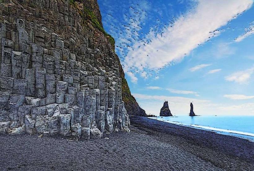
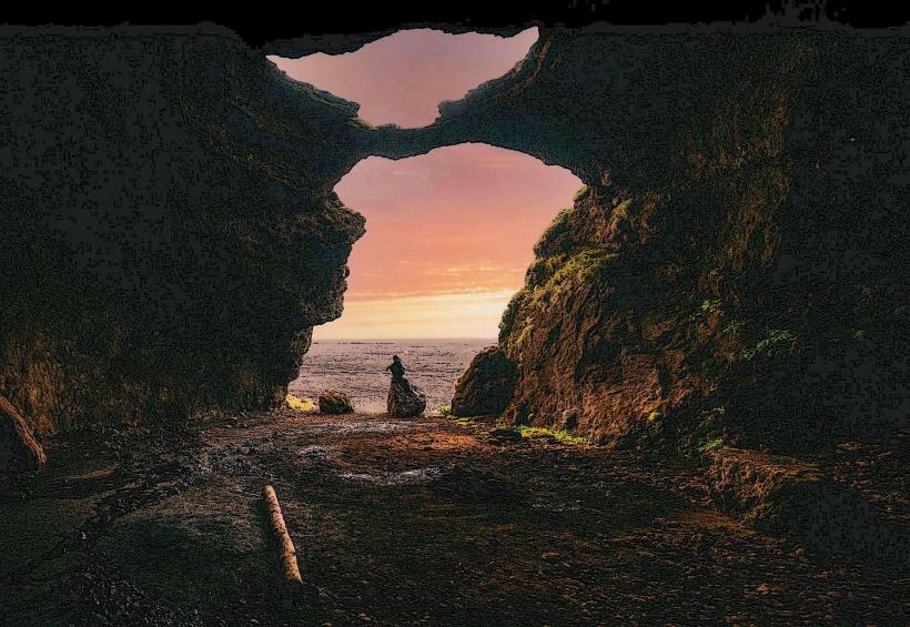
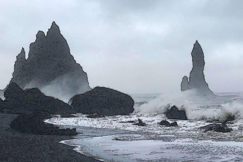
- Reynisfjara Black Sand Beach: 15km South-West
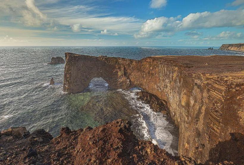
- Dyrhólaey Arch: 18km South-West
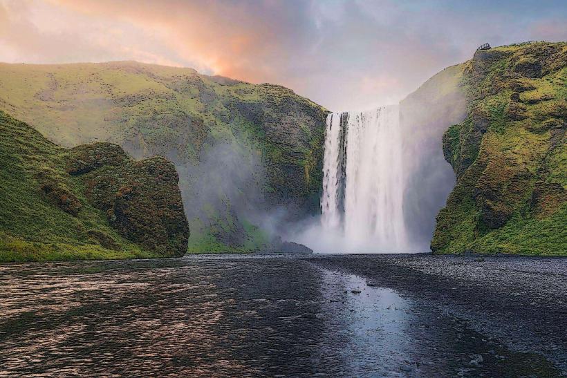
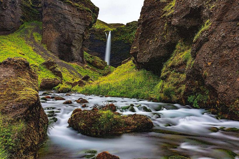
- Skógafoss Waterfall: 30km West
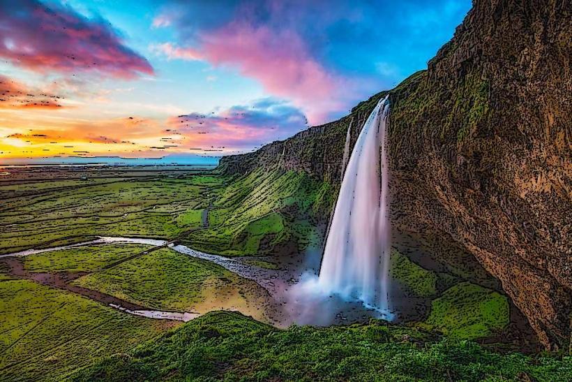
- Seljalandsfoss Waterfall: 55km West
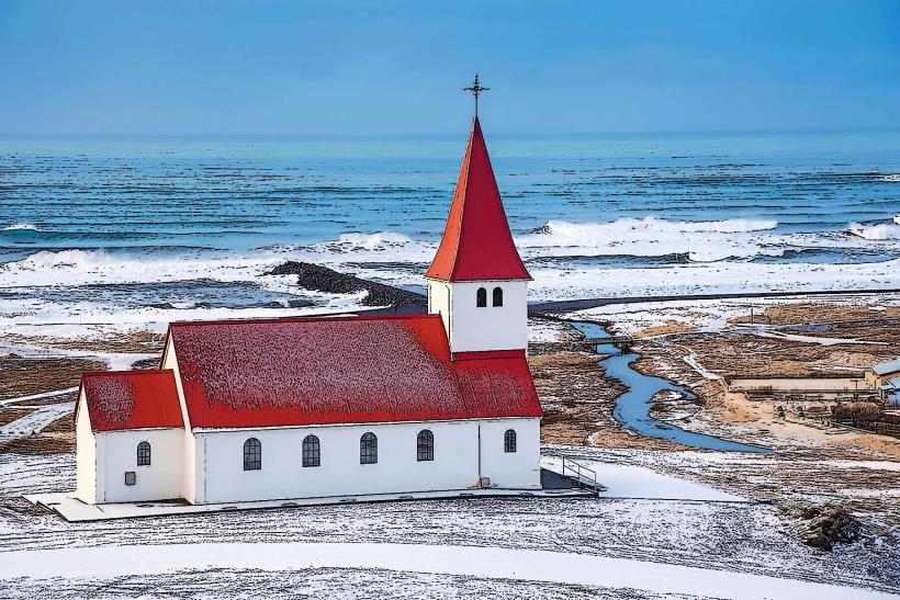
- Vik i Myrdal Church: 10km South