Information
Landmark: Acadia National ParkCity: Bar Harbor
Country: USA Maine
Continent: North America
Acadia National Park, Bar Harbor, USA Maine, North America
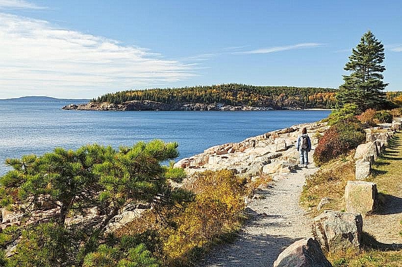
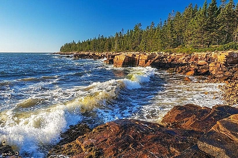
Acadia National Park is a protected area located on Mount Desert Island in Maine, USA, encompassing a significant portion of the island's coastline and interior. It preserves a diverse landscape of granite peaks, forests, and shoreline.
Visual Characteristics
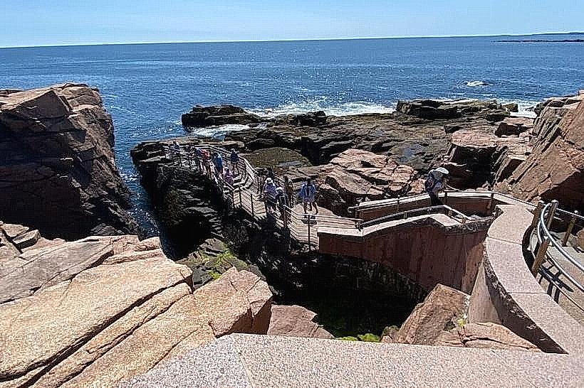
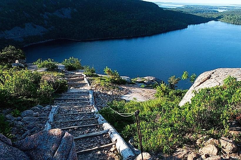
The park features rugged granite formations, including Cadillac Mountain, the highest point on the North Atlantic seaboard. The coastline is characterized by rocky shores, sea cliffs, and sandy beaches. Vegetation includes coniferous forests, primarily spruce and fir, with deciduous trees like birch and maple in certain areas. Jordan Pond is a clear, glacially-carved lake with a distinct granite bottom.
Location & Access Logistics
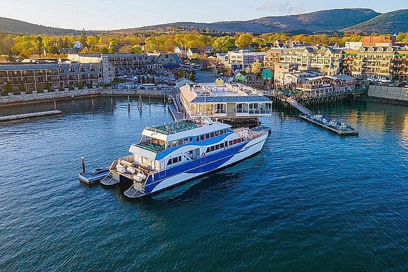
Acadia National Park is situated on Mount Desert Island, accessible via Maine State Route 3 from Ellsworth, Maine. Bar Harbor is the primary gateway town, located approximately 50 miles (80 km) east of Bangor. The park has multiple entrances; the main entrance is near Bar Harbor. Parking is available at designated lots throughout the park, with fees required during peak season. The Island Explorer shuttle bus system operates seasonally, providing free transportation to key park locations from surrounding towns.
Historical & Ecological Origin
Acadia National Park was established as Sieur de Monts National Monument in 1916 and became a National Park in 1919. It is the oldest National Park east of the Mississippi River. The landscape is a result of glacial activity, which carved out valleys, lakes, and smoothed the granite bedrock. The park protects a temperate forest ecosystem and a marine environment.
Key Highlights & Activities
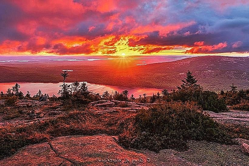
Activities include hiking on over 150 miles of trails, such as the Precipice Trail (challenging, with iron rungs) and the Ocean Path (paved, accessible). Cycling is permitted on carriage roads. Rock climbing is available on designated cliffs. Birdwatching is common, especially during migration seasons. Photography opportunities exist at sunrise and sunset, particularly from Cadillac Mountain. Kayaking and canoeing are possible on lakes and along the coast.
Infrastructure & Amenities
Restrooms are available at visitor centers and major parking areas. Shaded areas are found within the forested sections of the park. Cell phone signal (4G/5G) is intermittent and generally strongest in Bar Harbor and near park headquarters. Food vendors and restaurants are concentrated in Bar Harbor and surrounding communities; limited concessions may be available within the park during peak season.
Best Time to Visit
The best time for clear weather and full access to amenities is from late May to mid-October. For photography, sunrise on Cadillac Mountain is popular, requiring reservations during peak season. Autumn offers fall foliage, typically from mid-September to mid-October. High tide is preferable for viewing wave action against the cliffs at Thunder Hole.
Facts & Legends
The park's extensive network of carriage roads, totaling 45 miles, was funded and designed by John D. Rockefeller Jr. between 1913 and 1940. These roads are exclusively for non-motorized use, including hiking, biking, and horseback riding. A local legend speaks of the "Whispering Pines" along the coast, said to carry messages from the sea.
Nearby Landmarks
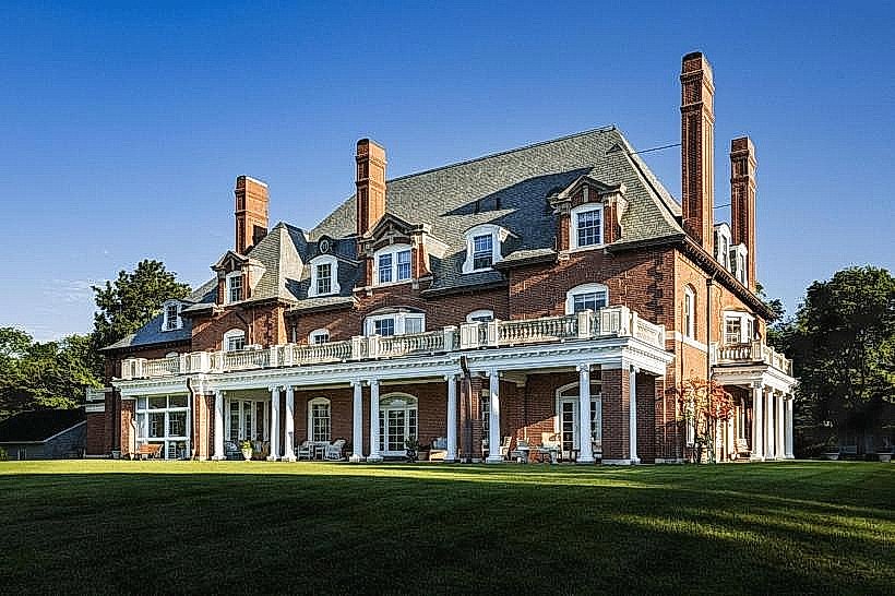
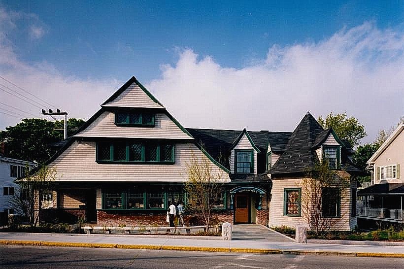
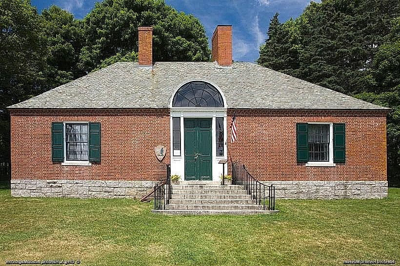
- Bar Harbor Historical Society Museum (0.8km West)
- Shore Path, Bar Harbor (1.2km West)
- Bass Harbor Head Light (15km Southwest)
- Sieur de Monts Spring (4km West)
- Wonderland Trail (12km Southwest)