Information
Landmark: Adam’s Peak (Sri Pada)City: Ratnapura
Country: Sri Lanka
Continent: Asia
Adam’s Peak (Sri Pada), Ratnapura, Sri Lanka, Asia
Adam's Peak, also known as Sri Pada, is a sacred mountain located in the Ratnapura District of Sri Lanka.
This conical mountain rises to an elevation of 2,243 meters (7,359 feet) above sea level.
Visual Characteristics
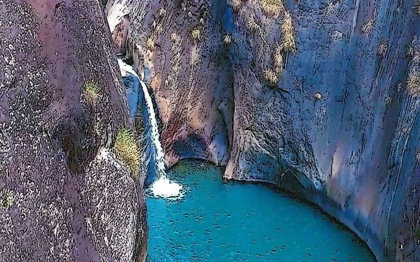
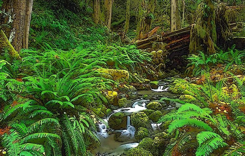
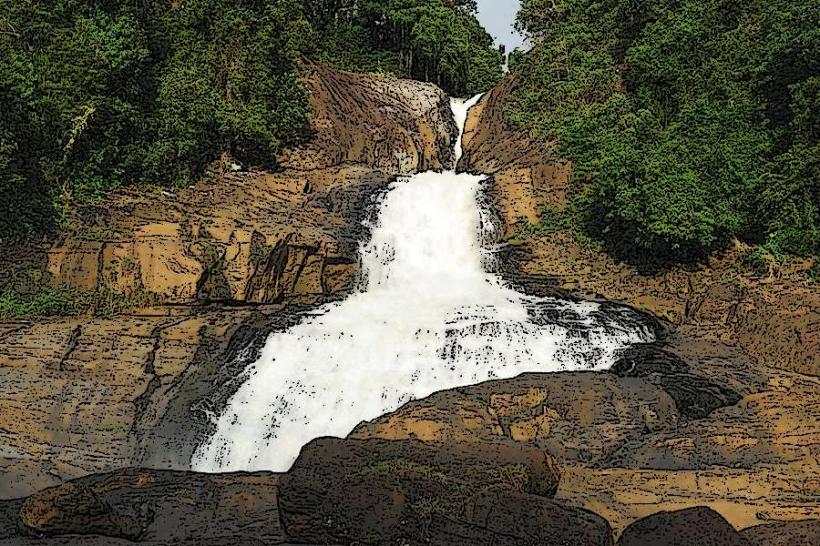
The mountain is characterized by its steep, rocky slopes covered in dense evergreen forest up to approximately 1,500 meters. The summit area is exposed rock, featuring a prominent, flat-topped boulder. The peak is frequently shrouded in mist, particularly during the monsoon seasons.
Location & Access Logistics
Adam's Peak is situated approximately 40 kilometers (25 miles) northwest of Ratnapura city. Access is primarily via the A7 highway towards Hatton, then turning onto local roads leading to the base villages of Dalhousie or Kuruwita. Dalhousie is the most common starting point, accessible by bus from Hatton (approximately 1.5 hours). Parking is available in Dalhousie, though it can be limited during peak pilgrimage season. Kuruwita offers an alternative, longer trekking route.
Historical & Ecological Origin
Geologically, Adam's Peak is composed of Precambrian metamorphic rocks, primarily granulite. Ecologically, it is part of the Sri Pada Wilderness Sanctuary, a protected area supporting diverse flora and fauna, including endemic species. Historically, the site is revered by multiple religions. Buddhists believe it bears the footprint of Gautama Buddha, Hindus associate it with Shiva, and Muslims and Christians attribute it to Adam.
Key Highlights & Activities
The primary activity is the ascent to the summit to view the sacred footprint. The pilgrimage season runs from December to May, with the most popular time being the full moon period. Trekking routes are well-defined but steep, involving thousands of steps. The ascent typically takes 3-5 hours from Dalhousie. Sunrise viewing from the summit is a significant draw.
Infrastructure & Amenities
Basic facilities are available at the summit, including a temple complex housing the footprint and small eateries selling refreshments. Along the main trekking route from Dalhousie, numerous tea shops and rest stops are positioned at intervals, offering food and shelter. Cell phone signal is intermittent, particularly at higher elevations. Restrooms are rudimentary and located at various points along the trail and at the summit.
Best Time to Visit
The pilgrimage season, from December to May, offers the clearest weather for the ascent and summit views. The months of February and March are generally considered optimal for dry conditions. The best time of day for photography is at sunrise, though this requires an overnight ascent. High tide is not applicable to this mountain landmark.
Facts & Legends
A unique aspect of the pilgrimage is the ringing of a bell at the summit by successful climbers, signifying their achievement. Local lore suggests that the footprint measures 1.67 meters (5 feet 6 inches) in length. The pilgrimage is a significant cultural event, drawing hundreds of thousands of devotees and tourists annually.
Nearby Landmarks
- Nallathanniya (Dalhousie) village - 0.5km South (Base village for ascent)
- Maskeliya Reservoir - 3km Northwest
- Castlereagh Reservoir - 8km Northwest
- Horton Plains National Park - 25km Southwest
- Great Western Mountain Range - 15km West