Information
Landmark: Ali Pasha BridgeCity: Gjirokaster
Country: Albania
Continent: Europe
Ali Pasha Bridge, Gjirokaster, Albania, Europe
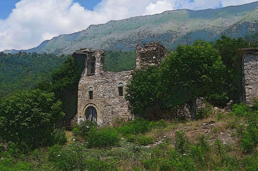
The Ali Pasha Bridge, also known as the Dunavat Bridge, is the surviving segment of a 19th-century aqueduct system located in the Manalat quarter of Gjirokastër. It spans a deep ravine and originally served to transport water to the city's fortress.
Visual Characteristics
The bridge is a high, narrow stone arch structure built from local grey limestone blocks. It features a single primary arch that spans the width of the gorge, supported by vertical stone piers that integrate into the rocky slopes. The masonry is dry-stone or lightly mortared, consistent with Ottoman engineering of the period. The top of the bridge is narrow and lacks safety railings, consisting of a weathered stone surface where the water channel once rested.
Location & Access Logistics
The site is located approximately 2km northwest of the Old Bazaar (Qafa e Pazarit). It is accessed via a steep uphill walk through the Dunavat and Manalat neighborhoods. While small vehicles can reach the upper residential areas, the final 500 meters require hiking on a rugged, unpaved trail. There is no public transport to the bridge; hikers typically follow the path originating near the Zekate House.
Historical & Ecological Origin
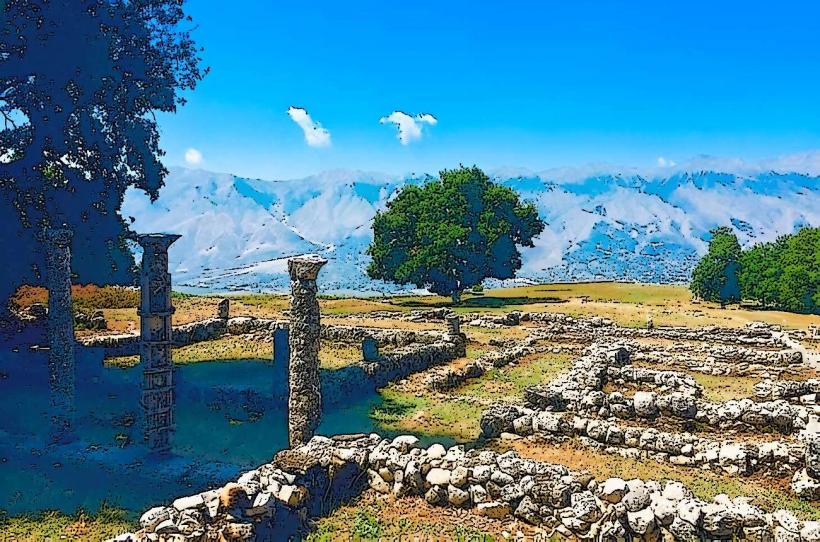
The bridge was commissioned by Ali Pasha of Tepelena around 1811 as part of a 12km-long aqueduct system that channeled water from the Sopot mountain springs to Gjirokaster-castle_gjirokaster" class="underline">Gjirokastër Castle. Most of the aqueduct was dismantled in 1932, leaving this bridge as the most significant remaining fragment. It is situated in a Mediterranean mountain ecosystem characterized by limestone outcrops and sparse, hardy vegetation.
Key Highlights & Activities
Hiking is the primary activity, as the trail offers views of the Gjirokastër "tower houses" from an elevated perspective. Photography is popular due to the dramatic scale of the arch against the ravine. Experienced hikers can cross the narrow top of the bridge, though this is not recommended during high winds or wet conditions due to the lack of infrastructure.
Infrastructure & Amenities
The site is entirely undeveloped for tourism. There are no restrooms, trash bins, or food vendors. 5G cellular signal is available but can be intermittent in the deeper parts of the ravine. There is no artificial lighting or directional signage at the bridge itself. Shade is only available in the shadow of the surrounding cliffs or the bridge structure.
Best Time to Visit
The best time for photography is the late afternoon when the sun enters the ravine and illuminates the limestone masonry. Morning visits are cooler and more suitable for the uphill hike from the city center. It is accessible year-round, but the path can become extremely muddy and slippery during the winter rainy season.
Facts & Legends
According to local accounts, the aqueduct was a monumental feat of engineering for its time, designed to ensure the castle could survive long-term sieges without a natural water source. A verified historical oddity is that the stones used for the bridge were quarried from the very ravine it spans, minimizing the need for heavy transport across the steep Gjirokastër terrain.
Nearby Landmarks
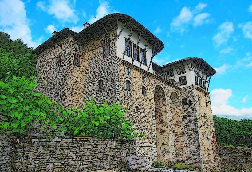
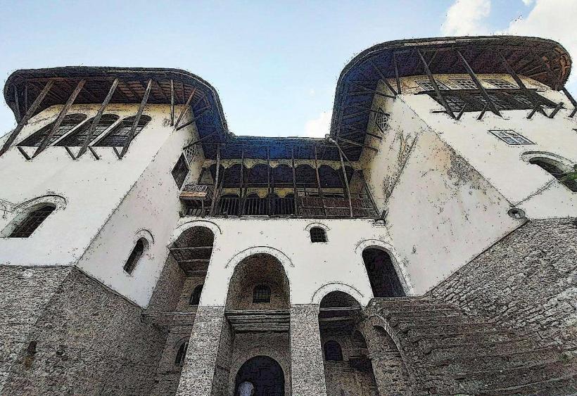
Zekate House: 0.7km Southeast
Ethnographic Museum: 1.0km Southeast
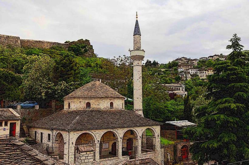
Gjirokastër Castle: 1.5km Southeast
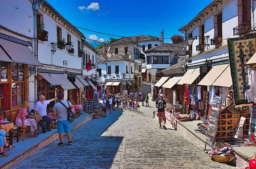
Old Bazaar (Qafa e Pazarit): 2.0km Southeast
Manalat Quarter: 0.4km South