Information
Landmark: Ankarafantsika National ParkCity: Ambalavao
Country: Madagascar
Continent: Africa
Ankarafantsika National Park, Ambalavao, Madagascar, Africa
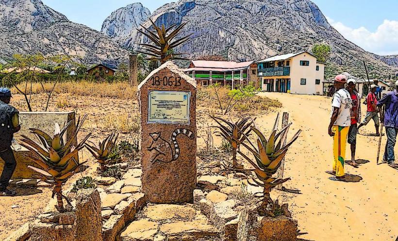
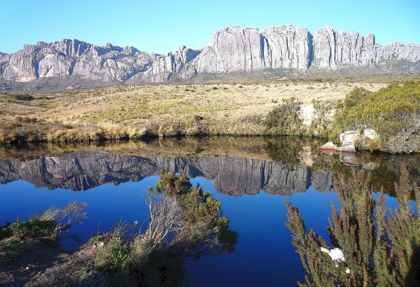
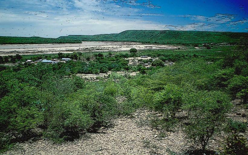
Ankarafantsika National Park is a protected area encompassing dry deciduous forest, savannah, and wetlands in northwestern Madagascar, approximately 115 km southeast of Mahajanga in the Boeny Region.
Visual Characteristics
The park features a landscape dominated by dry deciduous forest, interspersed with open savannah and wetlands. Notable geological formations include red sandstone canyons and eroded tsingy-like structures. Two significant lakes, Lake Ravelobe and Lake Ampijoroa, are present, characterized by their calm waters. The soil is predominantly red laterite, contrasting with the green and brown hues of the vegetation.
Location & Access Logistics
Ankarafantsika National Park is situated along Route Nationale 4 (RN 4), the main highway connecting Antananarivo and Mahajanga. The primary entrance and visitor center, Ampijoroa Forestry Station, is located directly off RN 4. From Mahajanga, the park is approximately 115 km southeast. From Antananarivo, it is about 450 km northwest. Parking is available at the Ampijoroa station. Public transport via bush taxis (taxi-brousse) operates regularly along RN 4, stopping at the park entrance upon request.
Historical & Ecological Origin
Originally established as a strict nature reserve in 1927, Ankarafantsika was reclassified as a national park in 1997. Ecologically, it is classified as a dry deciduous forest ecosystem, crucial for its biodiversity. The geological formations consist primarily of sandstone plateaus that have undergone significant erosion, creating distinctive canyons and rock formations over millennia.
Key Highlights & Activities
Key activities include guided day and night walks to observe lemurs such as the Coquerel's sifaka, mongoose lemur, and western woolly lemur. Birdwatching is prominent, with opportunities to spot species like the critically endangered Madagascar fish eagle and the rufous vanga. Hiking trails, including the Circuit Coquereli and the Canyon des Rats, offer varying levels of difficulty. Boat trips are available on Lake Ravelobe for bird observation.
Infrastructure & Amenities
Restroom facilities are available at the Ampijoroa visitor center and designated campsites. Shade is abundant within the forested areas but limited in open savannah sections. Cell phone signal (4G/5G) is generally weak and intermittent throughout the park. Basic food and accommodation options, including a restaurant and bungalows, are available near the Ampijoroa station.
Best Time to Visit
The best time to visit Ankarafantsika National Park is during the dry season, from May to November, when trails are accessible and wildlife viewing is optimal. Early morning and late afternoon hours are recommended for photography and observing active wildlife, particularly lemurs and birds.
Facts & Legends
Ankarafantsika National Park is one of the last strongholds for the critically endangered Madagascar fish eagle, with a significant portion of its remaining population residing around Lake Ravelobe. The park's name is often translated as "place of the big thorns" or "thorny mountains," reflecting the rugged and sometimes spiny vegetation of its landscape.
Nearby Landmarks
- Ampijoroa Forestry Station (0km, within the park)
- Lake Ravelobe (0.5km East, within the park)
- Canyon des Rats (2km South, within the park)
- Lac Ampijoroa (1km West, within the park)