Information
Landmark: Ariège Natural BorderCity: Canillo
Country: Andorra
Continent: Europe
Ariège Natural Border, Canillo, Andorra, Europe
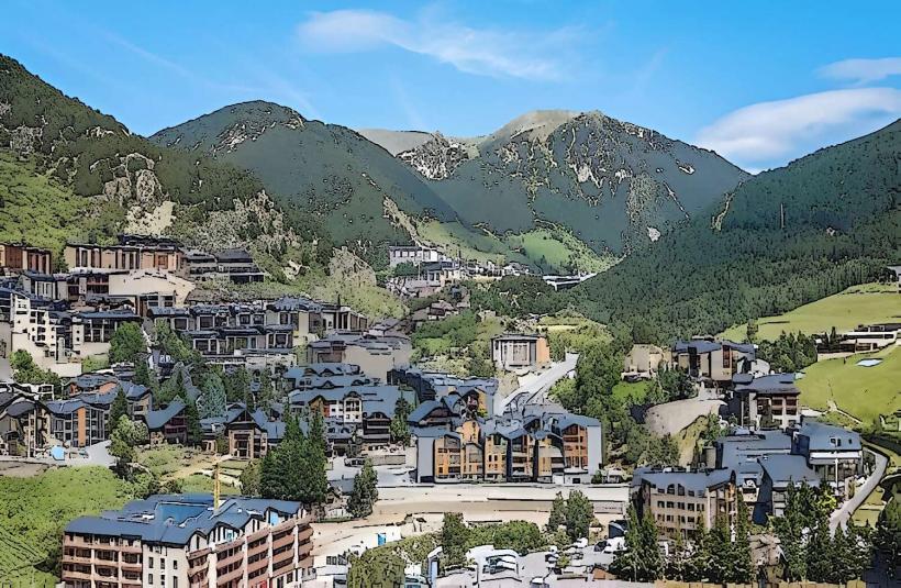
The Ariège Natural Border defines the northern boundary of Andorra with France, primarily characterized by the high Pyrenees mountain range. It is located north of Canillo, Andorra, extending across the mountainous terrain.
Visual Characteristics
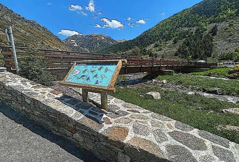
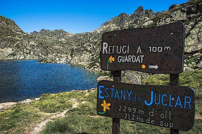
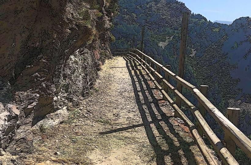
The border region is characterized by high mountain peaks, including granite and schist formations, with elevations often exceeding 2,500 meters. Alpine meadows, dense coniferous forests of pine and fir, and glacial valleys are prominent features. Water bodies include numerous mountain streams and the upper reaches of the Valira d'Orient river system, typically clear and fast-flowing.
Location & Access Logistics
Access to the general border area from Canillo is primarily via the CG-2 road, which heads north towards the Pas de la Casa border crossing. The Pas de la Casa is approximately 15 kilometers northeast of Canillo. Parking is available at various points along the CG-2, particularly near ski resort access points and hiking trailheads. Public transport includes regular bus services (e.g., L4 line) connecting Canillo to Pas de la Casa.
Historical & Ecological Origin
Geologically, the Ariège Natural Border is part of the Pyrenees mountain range, formed by the collision of the Iberian and Eurasian tectonic plates over millions of years. The landscape exhibits significant evidence of glacial erosion, including U-shaped valleys and cirques. Ecologically, it is classified as an alpine and subalpine environment, supporting resilient flora and fauna adapted to high altitudes.
Key Highlights & Activities
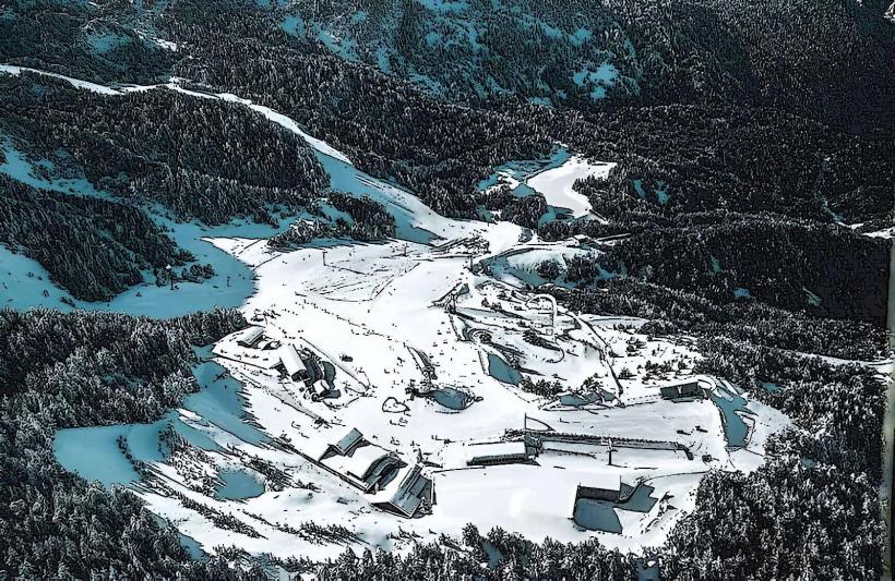
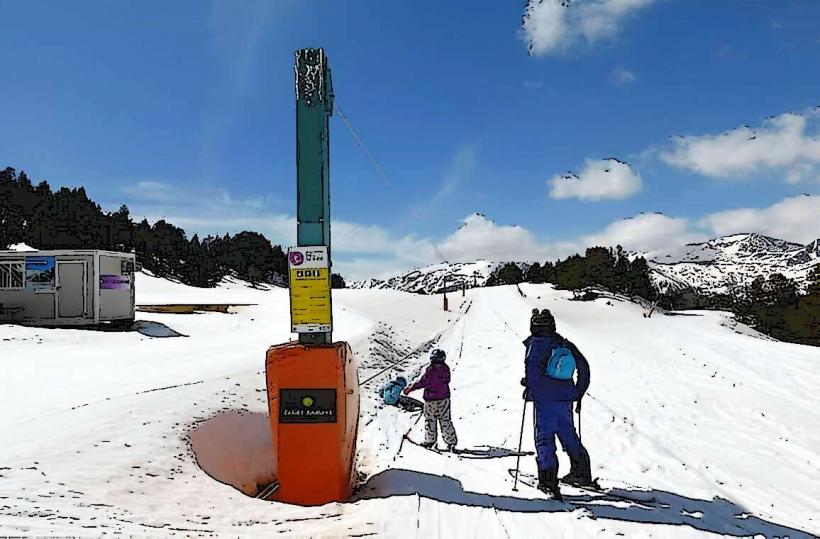
Hiking and mountaineering are primary activities, with numerous marked trails offering access to high mountain passes and peaks. During winter months, skiing and snowboarding are available at the adjacent Grandvalira Ski Resort. Wildlife observation, including chamois, marmots, and various raptors, is possible. Scenic drives along the CG-2 offer panoramic views of the border landscape.
Infrastructure & Amenities
Directly at the unmarked natural border, infrastructure is minimal. However, nearby towns like Pas de la Casa offer public restrooms, restaurants, shops, and accommodation. Cell phone signal (4G/5G) is generally available along main roads and in populated areas. Shade is provided by forests and mountain slopes.
Best Time to Visit
For hiking and clear mountain views, the best time to visit is from June to September, when snow has largely melted from higher elevations. For skiing and winter sports, the season typically runs from December to April. Early morning hours are optimal for photography, capturing the soft light on the mountain peaks.
Facts & Legends
The border region has historically been a route for smuggling goods between Andorra and France due to its rugged and often unpatrolled terrain. The Port d'Envalira, located near the border, is the highest road pass in the Pyrenees, reaching an elevation of 2,408 meters.
Nearby Landmarks
- Grandvalira Ski Resort (El Tarter sector): 2km North-East
- Grandvalira Ski Resort (Soldeu sector): 4km North-East
- Vall d'Incles: 3km North-East
- Roc del Quer Viewpoint: 3km West