Information
Landmark: Estanyó Mountain TrailCity: Canillo
Country: Andorra
Continent: Europe
Estanyó Mountain Trail, Canillo, Andorra, Europe
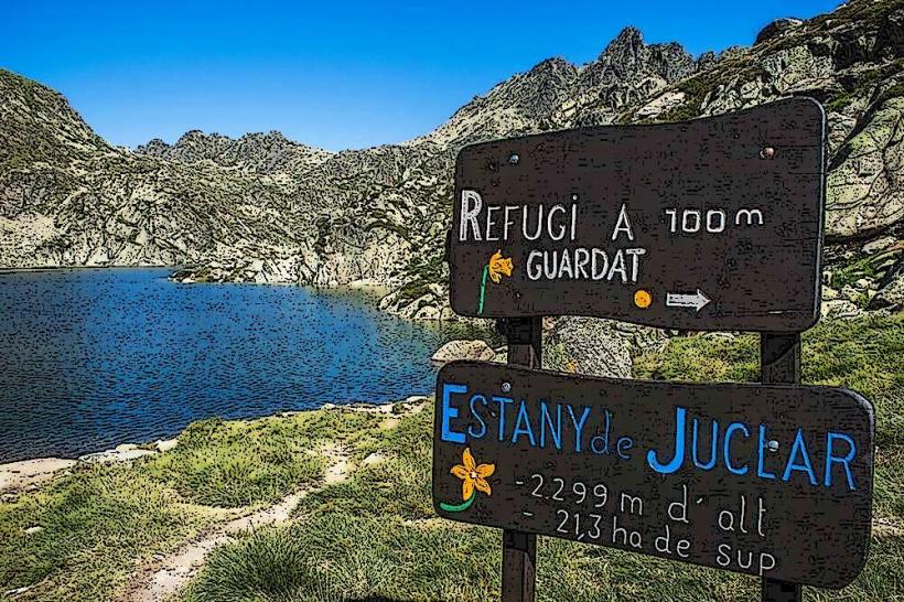
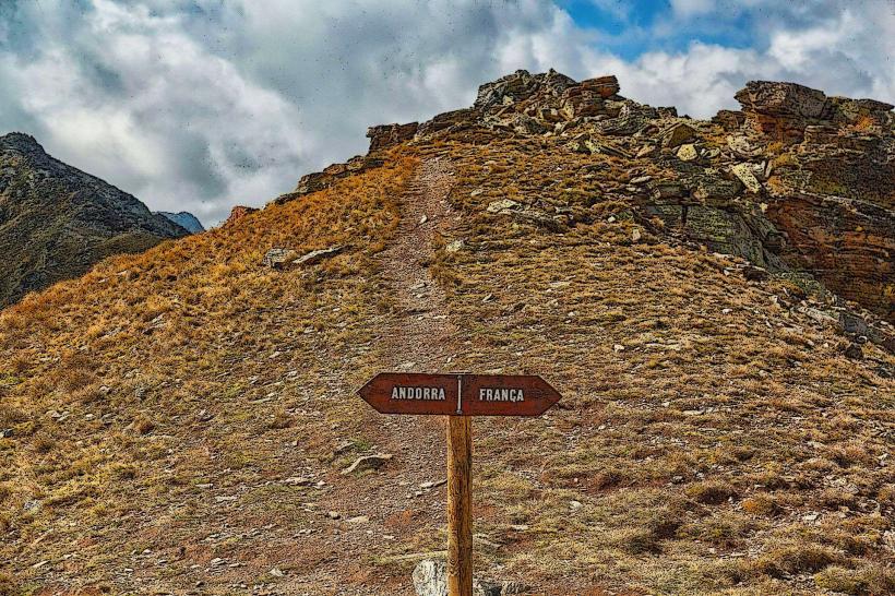
The Estanyó Mountain Trail is a hiking route in the Pyrenees, situated within the parish of Canillo, Andorra, culminating at the high-altitude Estanyó Lake.
Visual Characteristics
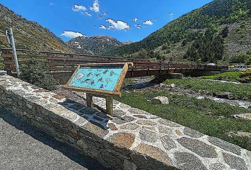
The trail primarily consists of rocky paths and compacted earth, ascending through alpine meadows and coniferous forests. Vegetation density varies, transitioning from dense pine and fir stands at lower elevations to sparse grasses and mosses near the treeline. The Estanyó Lake itself is a glacial cirque lake, characterized by clear, cold water, often reflecting the surrounding granite peaks. Rock formations along the path are predominantly granite and schist, exhibiting typical glacial erosion patterns.
Location & Access Logistics
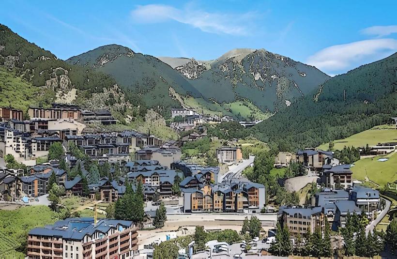
The primary access point for the Estanyó Mountain Trail is from the Valle de Incles, located approximately 3km northeast of Canillo village center. From Canillo, take the CS-270 road towards Incles. During peak summer months (typically July and August), private vehicle access into the Valle de Incles is restricted beyond a certain point; visitors must use a shuttle bus service or walk the initial 2.5km of the valley road to reach the trailhead. Parking is available at the entrance of the Valle de Incles, near the shuttle bus stop. Public transport to Canillo is available via interurban bus lines (e.g., L4 from Andorra la Vella), but direct public transport to the Valle de Incles trailhead is limited to the seasonal shuttle.
Historical & Ecological Origin
The Estanyó Lake and its surrounding valley are of glacial origin, formed during the Quaternary glaciations. The lake occupies a cirque carved by ice, with the trail following a typical U-shaped glacial valley. The ecosystem is characteristic of the high Pyrenean alpine zone, supporting specific flora adapted to high altitudes and cold climates, including various species of gentians, saxifrages, and rhododendrons. Fauna includes marmots, chamois, and various raptors.
Key Highlights & Activities
Hiking is the primary activity, with the trail offering a sustained ascent to Estanyó Lake. Photography opportunities are abundant, particularly of the lake and panoramic mountain vistas. Wildlife observation, including spotting marmots and chamois, is possible. The lake itself provides a destination for picnicking and quiet contemplation. The trail is part of the larger network of hiking routes in Andorra, connecting to other high-mountain passes.
Infrastructure & Amenities
Infrastructure along the Estanyó Mountain Trail is minimal. There are no dedicated restrooms or permanent shelters on the trail itself. Natural shade is provided by trees at lower elevations, but the upper sections are exposed. Cell phone signal (4G/5G) can be intermittent and unreliable, especially in deeper sections of the valley or near the lake. Food vendors are not present on the trail; visitors must carry their own provisions. Basic amenities and restaurants are available in Canillo village and at the entrance of the Valle de Incles.
Best Time to Visit
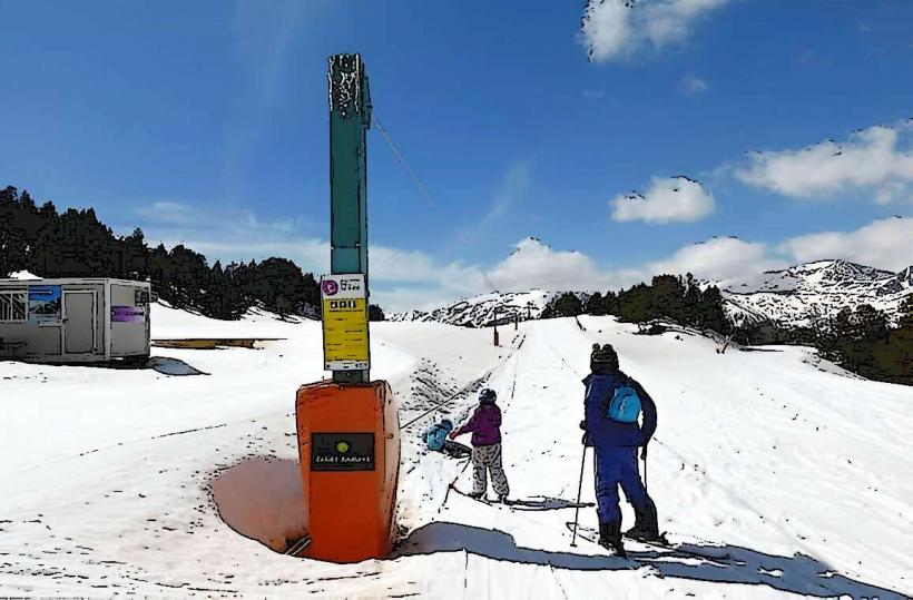
The best time to visit the Estanyó Mountain Trail is from late June to early October, when the trail is typically free of snow and weather conditions are most favorable. July and August offer the warmest temperatures, though afternoon thunderstorms can occur. For photography, early morning provides softer light and fewer shadows on the eastern slopes, while late afternoon offers warm light on the western peaks surrounding the lake. High tide is not relevant for this mountain trail.
Facts & Legends
The Estanyó Lake is one of the largest high-mountain lakes in Andorra by surface area. A specific local tip for visitors is to start the hike early in the morning to avoid the midday sun and potential afternoon cloud cover, which can obscure the panoramic views from the lake.
Nearby Landmarks
- Valle de Incles: 0.5km South (trailhead)
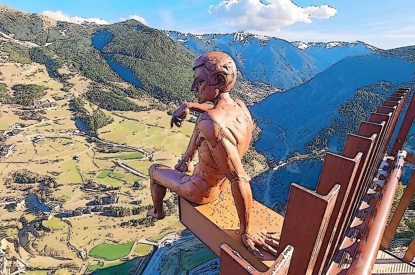
- Roc del Quer Viewpoint: 4km Southwest
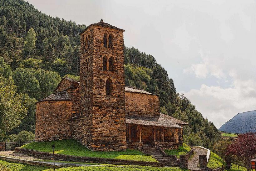
- Sant Joan de Caselles Church: 3.5km Southwest
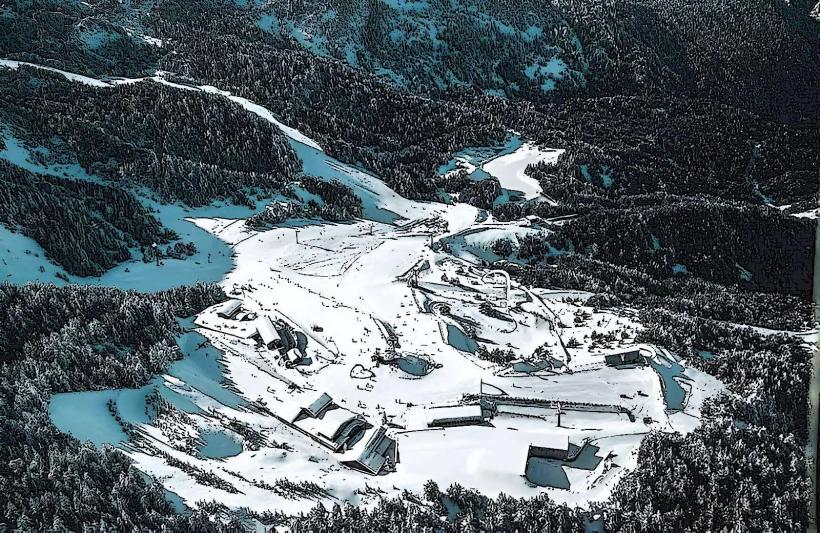
- Grandvalira Ski Resort (Canillo sector): 2km West