Information
Landmark: Incles ValleyCity: Canillo
Country: Andorra
Continent: Europe
Incles Valley, Canillo, Andorra, Europe
Incles Valley is a U-shaped glacial valley located in the parish of Canillo, Andorra. It is characterized by its high-altitude meadows and the Riu d'Incles flowing through its length.
Visual Characteristics
The valley exhibits a classic U-shaped cross-section, indicative of its glacial origin. Its floor is primarily composed of alpine meadows and pastures, transitioning to pine forests at lower elevations. The surrounding peaks are granitic, displaying evidence of glacial erosion. The Riu d'Incles is a clear mountain stream, fed by snowmelt and rainfall. Vegetation density varies, with dense forest cover near the entrance and sparse, low-lying alpine flora at higher altitudes.
Location & Access Logistics
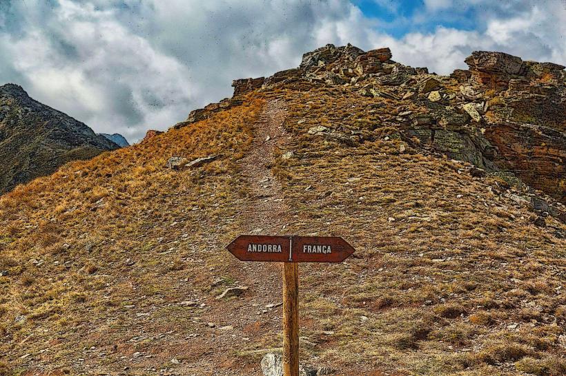
Incles Valley is situated approximately 2 kilometers east of the town center of Canillo. Access is primarily via the Carretera de la Vall d'Incles (CS-270), which branches off the main CG-2 road. During peak summer months (typically July and August), private vehicle access beyond the valley entrance is restricted between 9:00 and 18:00. A shuttle bus service operates from the entrance parking area to various points within the valley during these hours. Limited parking is available at the valley entrance, with additional parking options in Canillo town center.
Historical & Ecological Origin
The valley's topography is a direct result of glacial erosion during the Quaternary period, forming a deep U-shaped trough. It is classified as an alpine ecosystem within the Pyrenean mountain range. The area supports diverse flora and fauna adapted to high-altitude environments, including various species of wildflowers, conifers, and small mammals. The valley has historically been used for pastoral farming and serves as a significant natural water catchment area.
Key Highlights & Activities
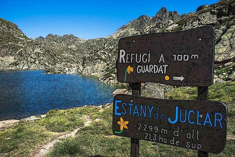
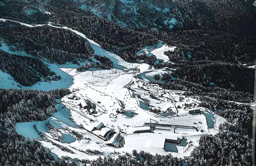
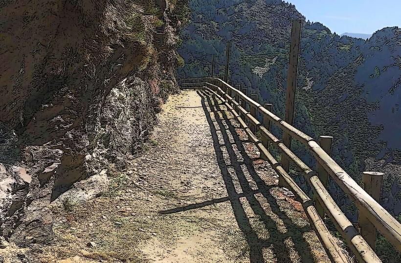
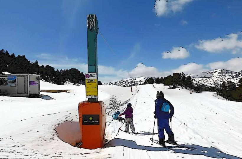
Hiking is the primary activity, with numerous marked trails. Notable routes include the path to Estany de Siscaró (approximately 2 hours one-way) and the longer ascent to Estany de Juclà, Andorra's largest lake (approximately 3 hours one-way). During winter, the valley is suitable for ski touring and snowshoeing. Photography of the alpine landscape and wildlife is also a common pursuit. Picnicking is permitted in designated areas.
Infrastructure & Amenities
Restroom facilities are limited, primarily available at the refuges located deeper within the valley, such as Refugi de Siscaró and Refugi de Juclà. Shade is provided by pine forests in the lower and middle sections of the valley, but higher elevations are exposed. Cell phone signal (4G/5G) is generally available near the valley entrance and along the main path but can become intermittent in more remote or higher areas. The refuges offer basic food and beverage services, and some provide overnight accommodation.
Best Time to Visit
The best time for hiking and general outdoor activities is from June to September, when trails are typically free of snow and weather conditions are mild. For photography, early mornings offer soft light and fewer shadows, while late afternoons can provide warm, golden hour lighting on the peaks. Winter months, from December to April, are ideal for snow-based activities like ski touring, provided snow conditions are safe.
Facts & Legends
Incles Valley is one of the few valleys in Andorra that has largely resisted extensive modern development, preserving much of its natural character. A practical tip for visitors during summer is to utilize the shuttle bus service to avoid vehicle restrictions and reduce environmental impact within the valley. The valley is also known for its traditional bordes (stone huts) that dot the landscape, historically used by shepherds.
Nearby Landmarks
- Canillo (town center): 2km West
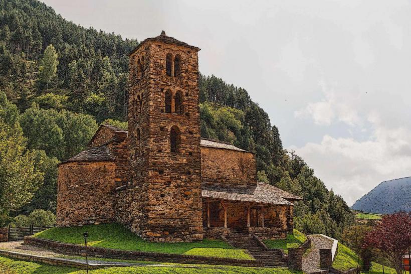
- Sant Joan de Caselles Church: 1.5km West
- El Forn de Canillo (ski area access): 3km Southwest
- Meritxell Sanctuary: 5km Southwest
- Grandvalira Ski Resort (Soldeu sector): 4km East