Information
Landmark: Arthurs SeatCity: Edinburgh
Country: United Kingdom
Continent: Europe
Arthurs Seat, Edinburgh, United Kingdom, Europe
Arthur’s Seat is the highest point of Holyrood Park, a 640-acre Royal Park in central Edinburgh. It is an extinct volcano system that provides panoramic views of the city, the Firth of Forth, and the Highlands.
Visual Characteristics
The peak rises to an elevation of 251 meters (823 feet) above sea level. It is characterized by rugged, rocky outcrops and steep grass-covered slopes. The surrounding landscape includes the Salisbury Crags, a series of 46-meter-high basalt cliffs, and three lochs: St Margaret’s, Dunsapie, and Duddingston. The geological composition is primarily carboniferous volcanic rock and basalt.
Location & Access Logistics
The peak is situated at the eastern end of the Old Town, approximately 1.5km from the city center. Primary pedestrian access points are the Holyrood Palace car park and Dunsapie Loch. The nearest major transport hub is Edinburgh Waverley station (1.6km Northwest). Bus routes 35 and 36 serve the Holyrood area. Queen’s Drive, the circular road around the park, is often closed to motorized traffic on Sundays. No dedicated parking exists on the peak; limited parking is available at the Broad Pavement and Dunsapie Loch.
Historical & Ecological Origin
Arthur’s Seat is a deeply eroded volcano that was active approximately 341 million years ago. It was shaped by glacial movement during the last Ice Age, creating a "crag and tail" formation. Human activity dates back to the Iron Age, evidenced by four hillforts located within the park. The site is a Site of Special Scientific Interest (SSSI) due to its rare flora, including the Maiden Pink and Sticky Catchfly.
Key Highlights & Activities
The primary activity is hiking to the summit via multiple trails varying in difficulty. The "Radical Road" follows the base of the Salisbury Crags, though sections are frequently closed due to rockfall risk. Visitors can observe the ruins of St Anthony’s Chapel, a 15th-century structure overlooking St Margaret’s Loch. The park is a major site for geological study, notably as the location where James Hutton developed the theory of uniformitarianism.
Infrastructure & Amenities
There are no amenities, restrooms, or shelters on the peak or along the trails. Public restrooms and the Holyrood Park Education Centre are located near the Palace of Holyroodhouse at the park’s main entrance. 4G and 5G cellular signals are consistently strong across the summit. The terrain is natural and uneven; there are no paved or wheelchair-accessible paths to the summit.
Best Time to Visit
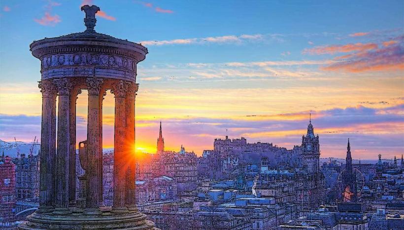
Sunrise and sunset provide the highest contrast for photography of the Edinburgh skyline. Visibility is highest on clear, windy days when city haze is minimized. Winter climbs require traction aids due to ice on the stone steps and mud on the lower slopes. The peak is exposed to high-velocity winds; checking mountain weather forecasts is recommended before ascent.
Facts & Legends
The name is frequently associated with the legends of King Arthur, with some suggesting the site as a potential location for Camelot, though no archaeological evidence supports this. A local historical oddity is the 1836 discovery of 17 miniature coffins containing wooden dolls, buried in a niche on the hillside, the purpose of which remains a subject of debate. A specific tip for hikers is that the "blue route" from Dunsapie Loch is the shortest and least vertical path to the summit.
Nearby Landmarks
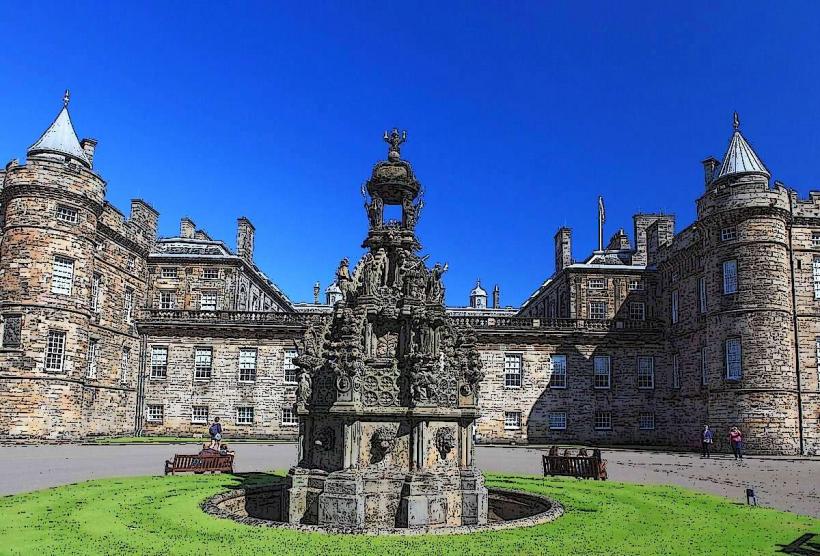
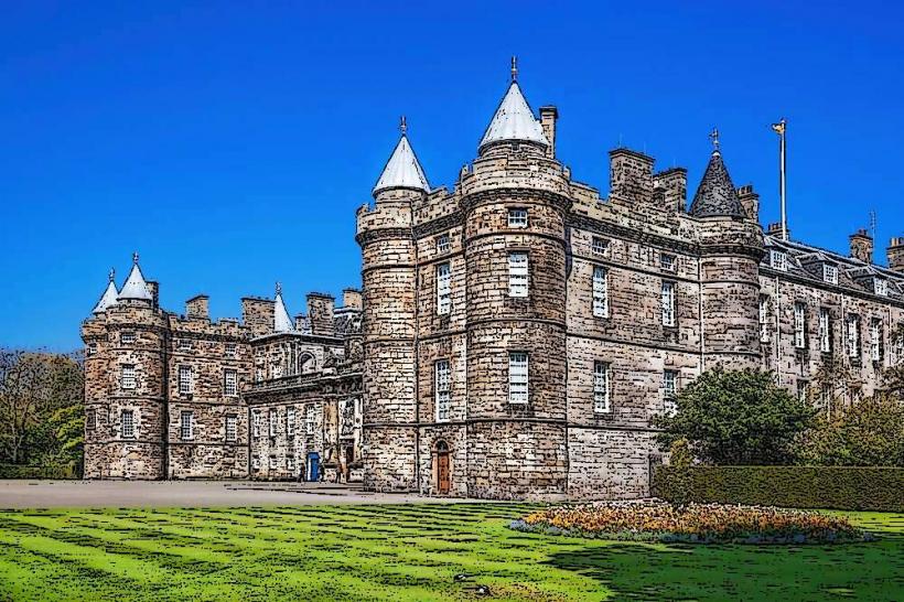
Palace of Holyroodhouse - 0.5km Northwest
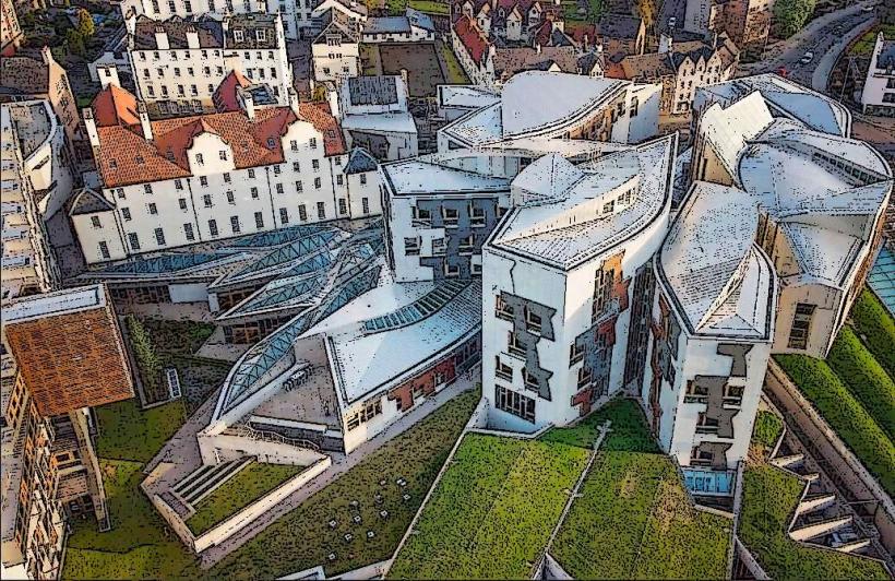
Scottish Parliament Building - 0.6km Northwest
Dynamic Earth - 0.7km Northwest
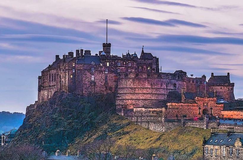
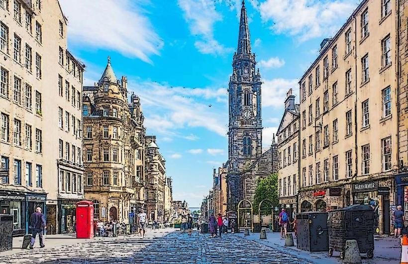
Royal Mile - 0.8km Northwest
Calton Hill - 1.4km North