Information
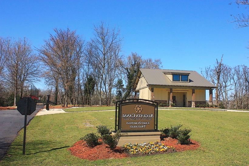
Landmark: Augusta Canal National Heritage AreaCity: Augusta
Country: USA Georgia
Continent: North America
Augusta Canal National Heritage Area, Augusta, USA Georgia, North America
The Augusta Canal National Heritage Area is a historic waterway located in Augusta, Georgia, USA.
It preserves and interprets the industrial and natural history of the Augusta region.
Visual Characteristics
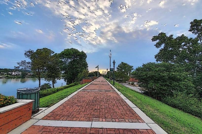
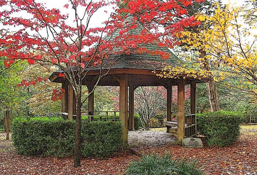
The canal itself is a man-made waterway, approximately 9 miles long, with a width varying between 60 and 100 feet. Its banks are lined with a combination of concrete, stone, and earth. Surrounding vegetation includes mature trees such as pine, oak, and cypress, with undergrowth typical of the Southeastern United States riparian environment. The water color is generally brown due to sediment, reflecting the river it draws from. Historic brick industrial buildings, some in disrepair and others repurposed, are visible along sections of the canal.
Location & Access Logistics
The Augusta Canal begins at the Augusta Lock and Dam on the Savannah River, located approximately 2 miles east of downtown Augusta. Access points are available from various points within the city. The main visitor center is located at 1424 Old Savannah Road. Parking is available at the visitor center and at designated access points along the canal towpath. Public transport options include Augusta Transit bus routes that stop near the visitor center and other access points.
Historical & Ecological Origin
Construction of the Augusta Canal began in 1845 and was completed in 1847, designed by engineer John Wilson. Its primary purpose was to provide hydroelectric power and a navigable waterway for industrial development in Augusta. The canal draws water from the Savannah River, a major river system in the southeastern United States. The surrounding land is part of the Atlantic Coastal Plain, characterized by alluvial soils and a humid subtropical climate.
Key Highlights & Activities
Activities include paddling the canal via kayak or canoe, with rentals available at the Augusta Canal Discovery Center. Hiking and biking are permitted on the 7-mile towpath. Boat tours operate seasonally, offering historical narration. Fishing is allowed in designated areas. Birdwatching is a common activity due to the diverse riparian habitat.
Infrastructure & Amenities
Restrooms are available at the Augusta Canal Discovery Center and at select access points. Shaded areas are provided by the natural tree canopy along the towpath. Cell phone signal (4G/5G) is generally available along most of the canal. Food vendors are not directly located along the canal, but are available in downtown Augusta and near the visitor center.
Best Time to Visit
For paddling and hiking, the best time of day is in the morning or late afternoon to avoid the midday heat, particularly from May through September. The most favorable months for comfortable outdoor activity are April, May, October, and November. High tide is not a critical factor for canal access, but water levels can fluctuate based on Savannah River dam operations.
Facts & Legends
During the Civil War, the Augusta Canal was a critical target for Union forces due to its role in supplying Confederate industries. A unique historical fact is that the canal was one of the first hydroelectric power plants in the United States, predating Niagara Falls' development by several decades. A local legend speaks of a spectral canal boatman who still patrols the waters on moonless nights.
Nearby Landmarks
- Augusta Riverwalk (0.8km West)
- Old Medical College of Georgia (1.2km West)
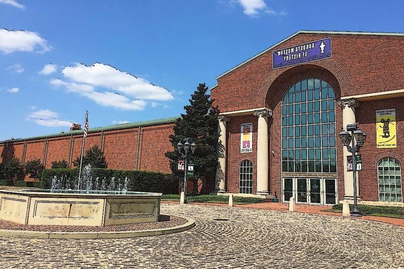
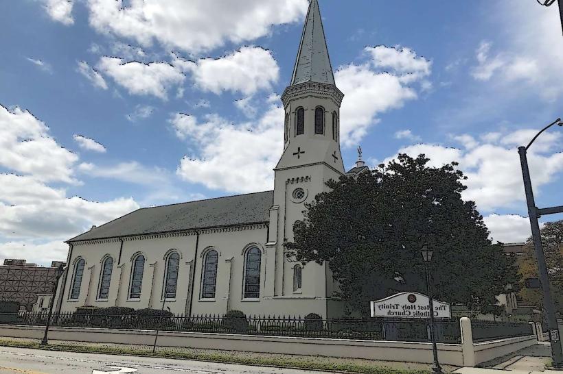
- Augusta Museum of History (1.5km West)
- Morris Museum of Art (1.8km West)
- Sacred Heart Cultural Center (2.0km West)