Information
Landmark: Augusta RiverwalkCity: Augusta
Country: USA Georgia
Continent: North America
Augusta Riverwalk, Augusta, USA Georgia, North America
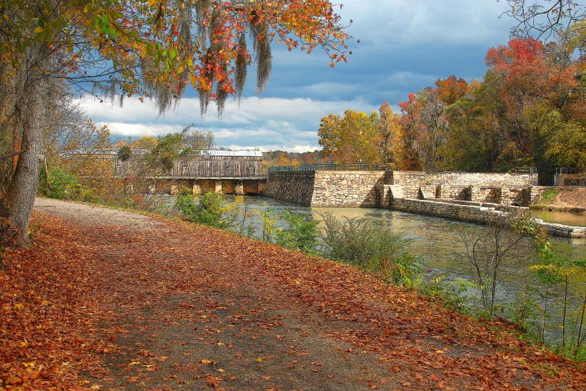
The Augusta Riverwalk is a multi-use urban park situated along the Savannah River in Augusta, Georgia, USA.
It provides pedestrian access to the riverfront and connects various city amenities.
Visual Characteristics
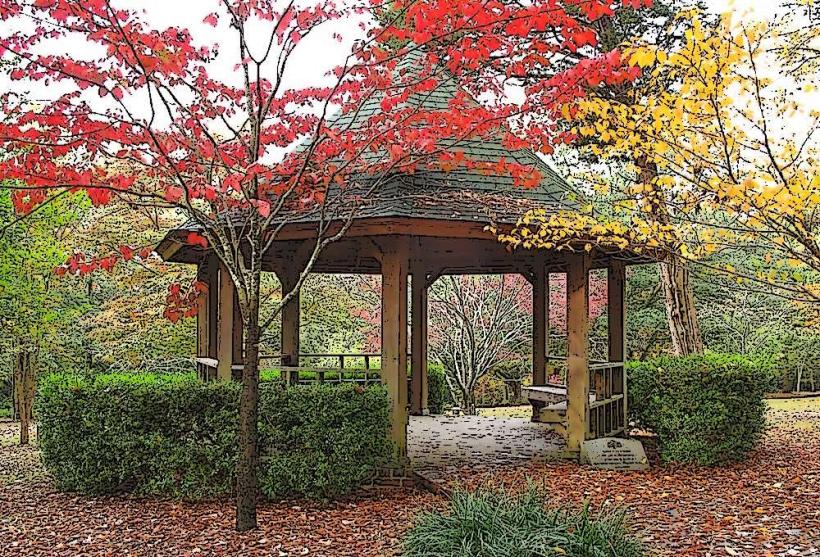
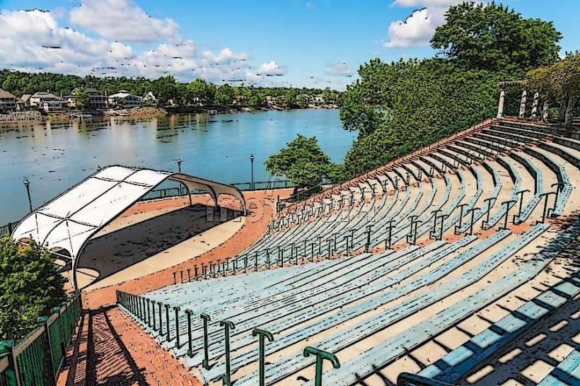
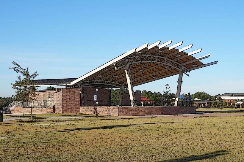
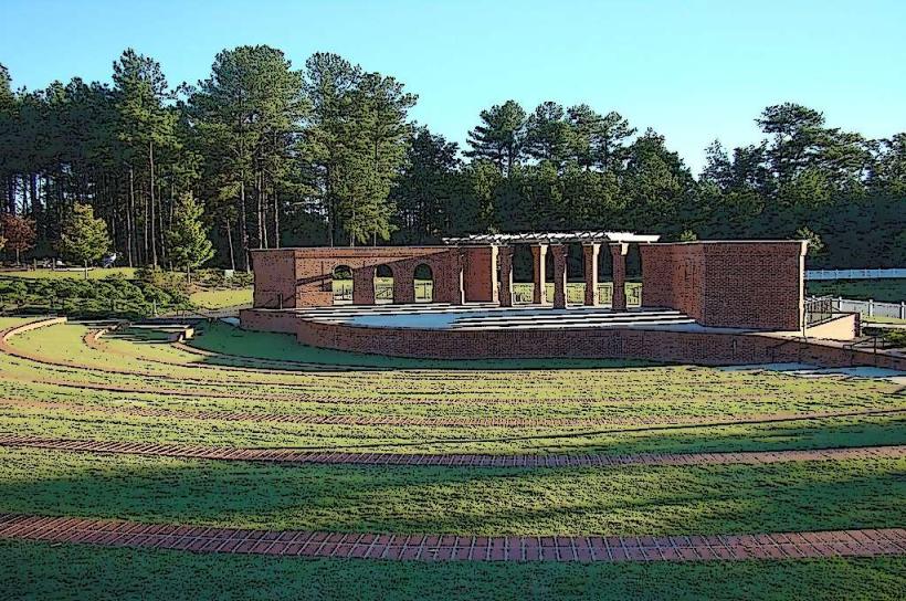
The Riverwalk features paved pathways constructed from concrete and brick. It is bordered by manicured landscaping including trees, shrubs, and flower beds. The Savannah River forms the northern boundary of the park. Several pedestrian bridges cross smaller tributaries and drainage channels within the park's footprint. The area includes benches, lighting fixtures, and informational signage.
Location & Access Logistics
The Augusta Riverwalk is located in downtown Augusta, Georgia. It extends approximately 1.5 miles along the south bank of the Savannah River, with primary access points from Broad Street and Reynolds Street. The closest major highway is Interstate 20, with exits leading to downtown Augusta. Parking is available in several multi-level parking decks within a 0.5km radius of the main riverfront sections, including the Reynolds Street Parking Deck and the Augusta Common Parking Deck. Public transportation is served by Augusta Transit bus routes that stop at various points in the downtown area, with several routes within a 0.2km walk to the Riverwalk.
Historical & Ecological Origin
The development of the Augusta Riverwalk began in the late 20th century as part of a downtown revitalization effort. Its purpose is to provide public access to the Savannah River, enhance recreational opportunities, and serve as a venue for community events. The river itself is a significant waterway in the southeastern United States, historically important for commerce and transportation. The riverfront area was previously utilized for industrial purposes before its transformation into a public park.
Key Highlights & Activities
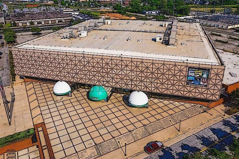
Walking and cycling are primary activities along the paved pathways. The Augusta Canal Discovery Center is accessible from the Riverwalk, offering historical exhibits and boat tours. Kayaking and paddleboarding are possible on the Savannah River, with launch points available at designated areas. The Riverwalk hosts various events throughout the year, including festivals and concerts. Fishing is permitted from designated areas along the riverbank.
Infrastructure & Amenities
Restrooms are available at the Augusta Canal Discovery Center and at several points along the Riverwalk, particularly near event spaces. Shaded areas are provided by mature trees and some covered pavilions. Cell phone signal (4G/5G) is generally strong throughout the Riverwalk. Food vendors and restaurants are located in the adjacent downtown area, within a 0.1km to 0.5km radius of the park.
Best Time to Visit
For photography, early morning or late afternoon provides optimal lighting conditions due to the sun's angle. The best months for weather are typically April through June and September through October, offering moderate temperatures. High tide on the Savannah River can influence water levels, but does not typically impede access to the Riverwalk itself. Low tide may expose more of the riverbank.
Facts & Legends
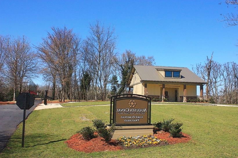
A notable historical oddity is the presence of remnants of the Augusta Canal, a National Heritage Area, which runs parallel to a section of the Riverwalk. This canal was crucial for powering mills in the 19th century. Local lore sometimes speaks of the river's historical significance to Native American tribes who inhabited the area prior to European settlement.
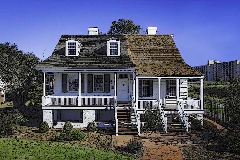
Nearby Landmarks
- Augusta Common (0.1km North)
- Augusta Canal Discovery Center (0.3km West)
- Morris Museum of Art (0.4km Southwest)
- Old Government House (0.6km West)
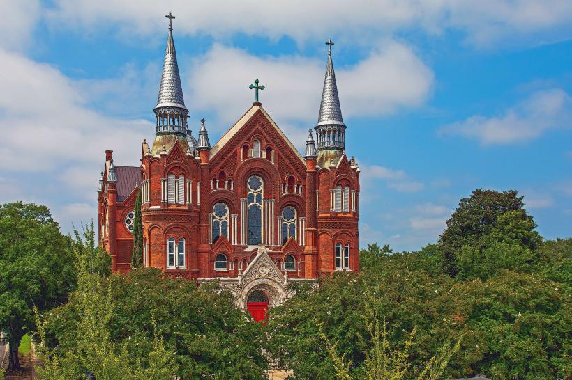
- Sacred Heart Cultural Center (0.8km Northwest)