Information
Landmark: Azuero PeninsulaCity: Santiago City
Country: Panama
Continent: North America
Azuero Peninsula, Santiago City, Panama, North America
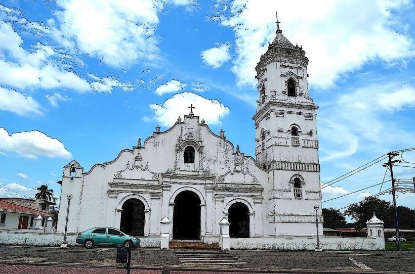
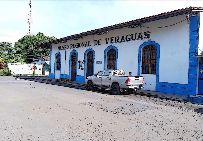
The Azuero Peninsula is a landmass located in the southwestern region of Panama, projecting into the Pacific Ocean. It is primarily associated with the provinces of Los Santos and Herrera, with a portion extending into Veraguas.
Visual Characteristics
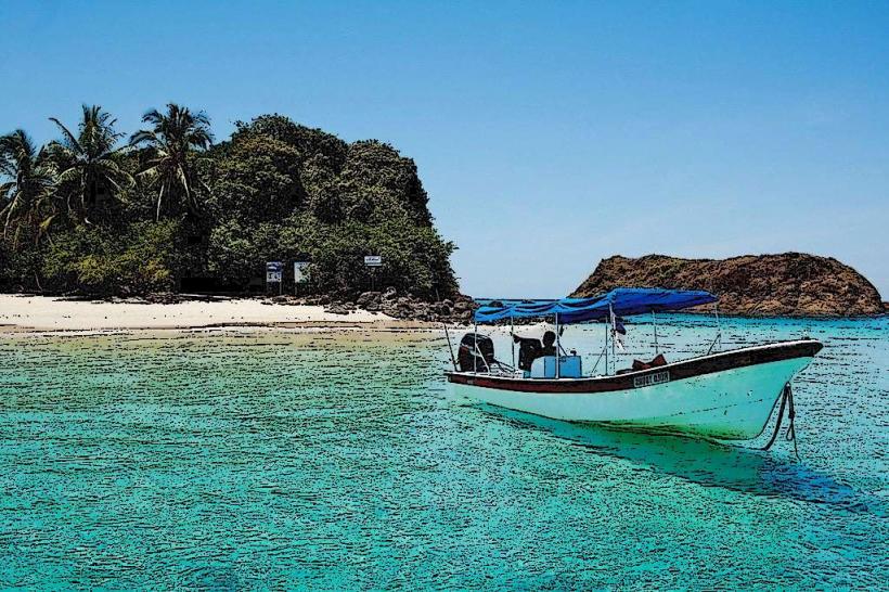
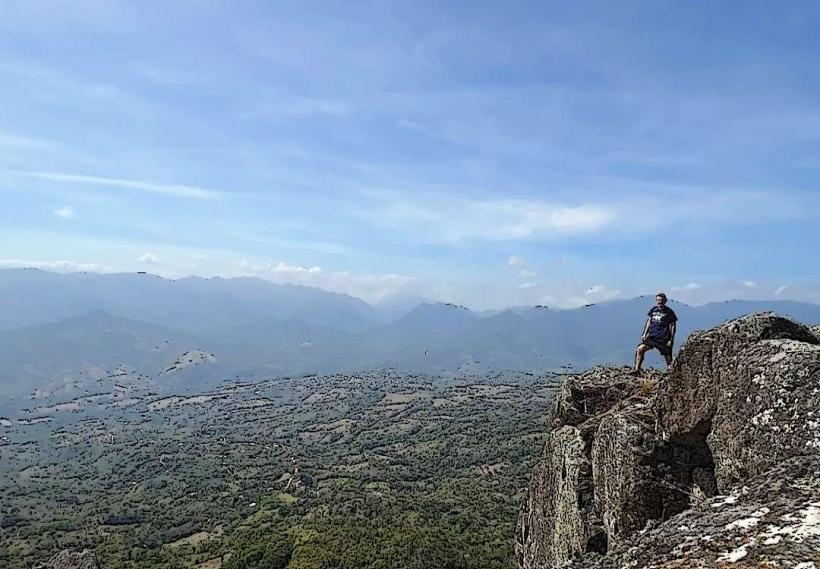
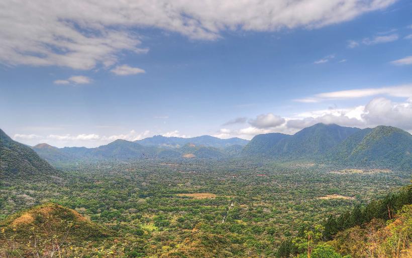
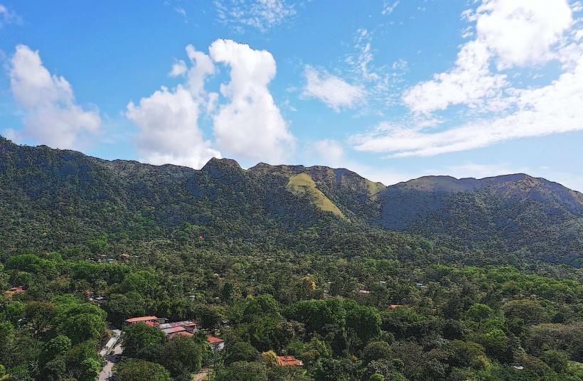
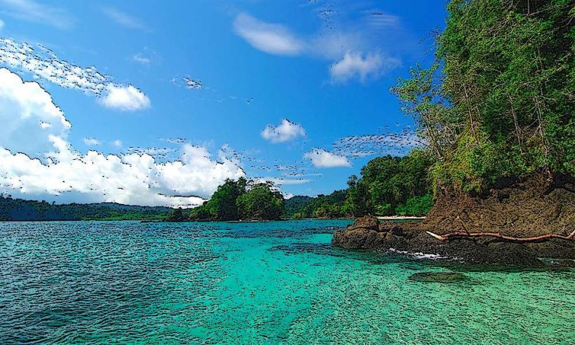
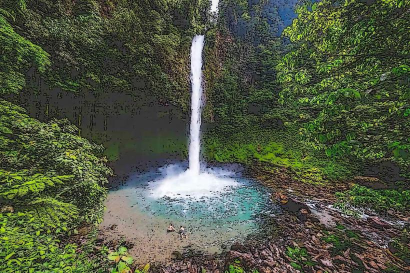
The peninsula exhibits a varied topography. Coastal areas feature sandy beaches and rocky outcrops. Inland, the terrain transitions to rolling hills and plains, with elevations generally not exceeding 500 meters. Vegetation ranges from dry tropical forest in the drier western sections to more humid tropical forest in the eastern parts. River systems carve through the landscape, with the Chitre River being a notable example.
Location & Access Logistics
Santiago City serves as a primary gateway to the Azuero Peninsula. From Santiago, National Route 2 (Carretera Panamericana) provides access to the peninsula's interior. Provincial roads connect smaller towns and coastal areas. The nearest major airport is Scarlett Martinez International Airport (RIH) in Rio Hato, approximately 100 km north of Santiago. Domestic flights to smaller airstrips on the peninsula may be available. Public bus services operate between Santiago and major towns on the peninsula, including Chitre, Las Tablas, and Pedasi. Rental car services are available in Santiago.
Historical & Ecological Origin
The Azuero Peninsula's geological formation is primarily sedimentary, with some volcanic influence from ancient activity. Historically, the region was inhabited by indigenous groups, including the native peoples who developed distinct cultural practices. Spanish colonization began in the 16th century, leading to the establishment of agricultural settlements. The peninsula is an important ecological transition zone, supporting diverse flora and fauna adapted to both dry and humid tropical conditions.
Key Highlights & Activities
Activities include visiting beaches such as Playa Venao for surfing, exploring the town of Pedasi for its artisanal crafts, and observing wildlife in protected areas. Fishing excursions are common from coastal villages. Cultural festivals, particularly during Carnival season, are a significant draw. Hiking trails are present in the interior hills, offering views of the surrounding landscape.
Infrastructure & Amenities
Major towns like Chitre and Las Tablas have hotels, restaurants, and basic services. Smaller coastal communities offer more limited accommodations and dining options. Cell phone signal (4G) is generally available in populated areas but can be intermittent in remote regions. Restrooms are available at hotels, restaurants, and public beaches. Shade is provided by natural vegetation and some man-made structures at popular beach sites.
Best Time to Visit
The dry season, from December to April, offers the most favorable weather conditions with less rainfall and lower humidity. The shoulder months of November and May can also be suitable. For surfing at Playa Venao, the swell is typically consistent year-round, though larger waves are often present during the rainy season (May to November). The best time of day for photography depends on the specific location; coastal areas benefit from morning and late afternoon light.
Facts & Legends
The Azuero Peninsula is considered the cultural heartland of Panama, renowned for its traditional music, dance, and festivals. A local legend speaks of a hidden treasure buried by pirates along the southern coast, though no verifiable evidence exists. Visitors seeking authentic cultural experiences should research local festival dates, as these events are central to the peninsula's identity.
Nearby Landmarks
- Parque Nacional Cerro Hoya: 40km Southwest
- Isla Iguana Wildlife Refuge: 5km Southeast (from Pedasi)
- Playa El Uverito: 15km South
- Las Tablas Town Center: 20km West
- Chitre City Center: 30km Northwest