Information
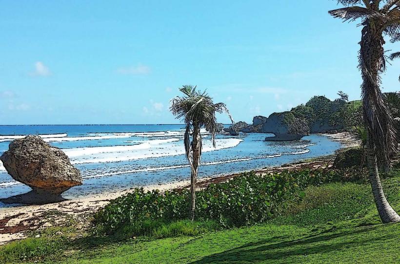
Landmark: Bathsheba BeachCity: Bathsheba
Country: Barbados
Continent: North America
Bathsheba Beach, Bathsheba, Barbados, North America
Bathsheba Beach is a coastal area located on the eastern side of Barbados. It is known for its distinctive rock formations and surf conditions.
Visual Characteristics
The beach features large, weathered granite boulders scattered along the shoreline, particularly in the shallow waters. The sand is a light brown color. The ocean water is typically a deep blue, with white foam from breaking waves. Vegetation, primarily sea grape trees and coastal shrubs, grows along the edge of the beach.
Location & Access Logistics
Bathsheba Beach is situated approximately 16 kilometers east of Bridgetown, the capital city. Access is via Highway 3B, which becomes Bathsheba Road as it approaches the village. Parking is available in designated areas adjacent to the beach, though it can be limited during peak times. Public transport is accessible via the Number 6 bus route from Bridgetown, which stops within walking distance of the beach.
Historical & Ecological Origin
The granite boulders are the result of geological processes, specifically the erosion of ancient volcanic rock formations that make up the island's interior. The area is part of the Atlantic coast of Barbados, exposed to consistent wave action.
Key Highlights & Activities
Surfing is a primary activity, with consistent waves suitable for experienced surfers. The natural pools formed by the rocks offer calmer areas for wading, especially at low tide. Photography of the rock formations and coastal scenery is common. Hiking trails are present in the surrounding hills, offering elevated views of the coastline.
Infrastructure & Amenities
Restrooms are available at the public facilities near the main access point. Shade is provided by natural vegetation and some picnic shelters. Cell phone signal (4G) is generally available. Food vendors and small restaurants are located in the village of Bathsheba, a short walk from the beach.
Best Time to Visit
For photography, early morning and late afternoon offer favorable lighting conditions for the rock formations. The months of November to May generally provide drier weather. Surfing conditions are often best during the winter months (December to April) due to prevailing swells.
Facts & Legends
Local lore suggests that the name "Bathsheba" was given to the area by early settlers who were reminded of the biblical Queen Bathsheba bathing in her pools, due to the natural rock pools on the beach.
Nearby Landmarks
- The Soup Bowl (0.2km North)
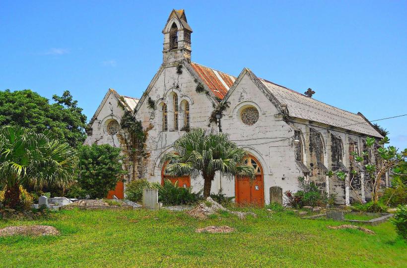
- St. Joseph's Parish Church (0.4km West)
- Hackleton's Cliff (2.5km Southwest)
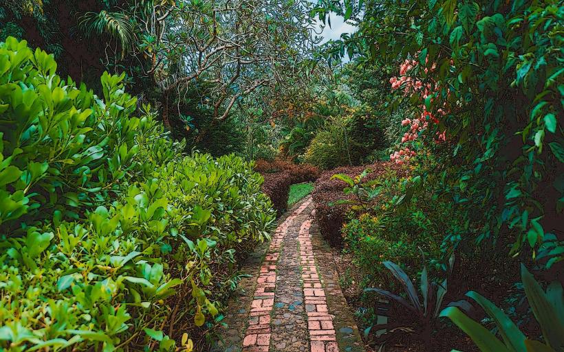
- Andromeda Botanic Gardens (3.0km West)
- East Coast Road Scenic Viewpoints (various, within 4km along the coast)