Information
Landmark: BenbulbenCity: Sligo
Country: Ireland
Continent: Europe
Benbulben, Sligo, Ireland, Europe
Benbulben is a large flat-topped rock formation located in County Sligo, Ireland, forming part of the Dartry Mountains. It is a protected geologically significant site situated approximately 15km north of Sligo Town.
Visual Characteristics
The landmark is a limestone plateau characterized by vertical cliffs and a distinct flat summit. The rock consists of Dartry Limestone over Glencar Limestone, presenting a grey-white color with deep vertical gullies. It stands at an elevation of 526 meters. The surrounding slopes are covered in peat bogs and dense green grasses, while the cliff faces are mostly devoid of vegetation due to the steep gradient.
Location & Access Logistics
Access is primarily via the N15 road heading north from Sligo toward Donegal. The Benbulben Forest Walk trailhead is located at Luke’s Bridge, approximately 10km from the N15 turn-off at Drumcliffe. No public bus lines serve the base directly; private vehicle or taxi is required. Limited gravel parking is available at Luke's Bridge. Access to the summit is restricted to the southern slope to avoid hazardous cliff edges.
Historical & Ecological Origin
The formation dates back approximately 320 million years to the Carboniferous period. It was shaped by glaciation during the last Ice Age, where moving glaciers carved the steep northern and western sides. Ecologically, it is a Special Area of Conservation, hosting rare Arctic-alpine flora such as the Fringed Sandwort, which survived the glacial period on the high plateau.
Key Highlights & Activities
Hiking the Gortarowey Looped Walk provides views of the northern face. Serious hikers ascend via the "back" southern slope starting from Luke's Bridge. Photography is a primary activity, specifically from the N15 roadside. Farming remains active on the lower slopes; hikers must remain on designated paths to avoid disturbing livestock.
Infrastructure & Amenities
There are no restrooms, visitor centers, or permanent food vendors at the base or on the mountain. Shade is non-existent on the slopes or summit. Cell phone signal (4G/5G) is generally available but can be intermittent in deep gullies. Water must be carried in as there are no potable sources on the trails.
Best Time to Visit
The best months for hiking are May through September to avoid Atlantic storms and heavy mist. For photography, the northern face is best lit during the late afternoon and early evening in summer. High visibility is essential; the summit is frequently obscured by low-hanging clouds regardless of sea-level conditions.
Facts & Legends
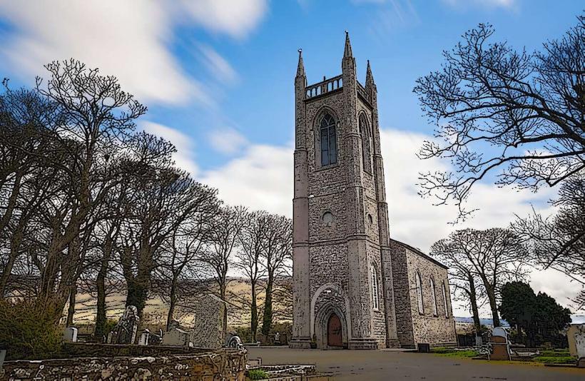
Irish mythology identifies Benbulben as the site where the hero Diarmuid Ua Duibhne was killed by a giant boar after being tricked by Fionn mac Cumhaill. Historically, the mountain is inextricably linked to the poet W.B. Yeats, who is buried in the churchyard at its base in Drumcliffe.
Nearby Landmarks
Drumcliffe Church & Yeats's Grave – 4.2km Southwest
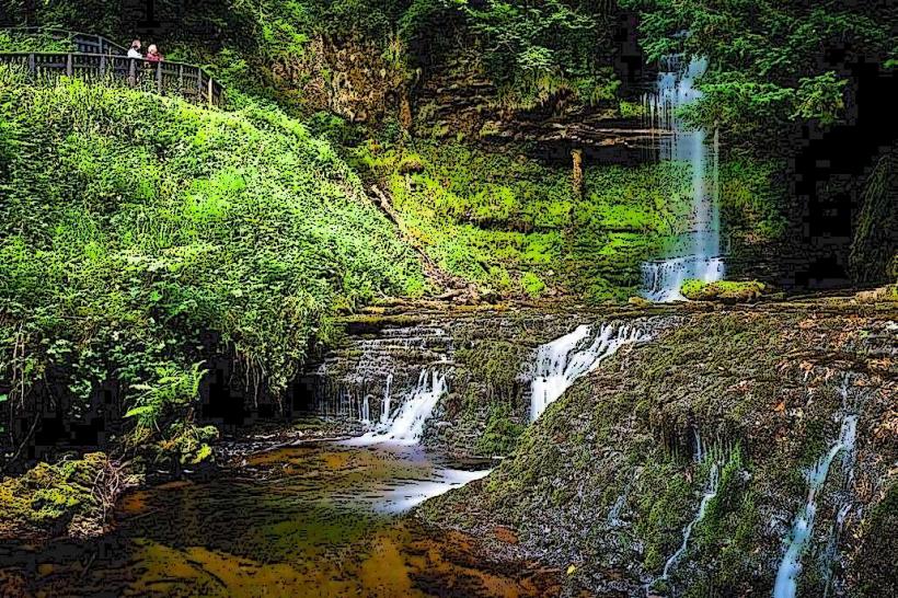
Glencar Waterfall – 4.8km Southeast
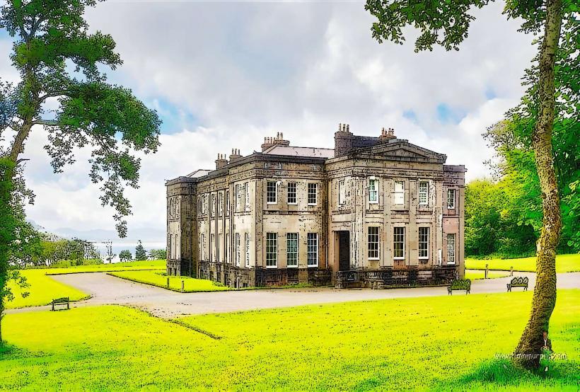
Lissadell House – 4.9km West
Mullaghmore Head – 12km North
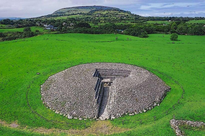
Knocknarea Hill – 14km Southwest