Information
Landmark: Bijeljina FortressCity: Bijeljina
Country: Bosnia and Herzegovina
Continent: Europe
Bijeljina Fortress, Bijeljina, Bosnia and Herzegovina, Europe
The Bijeljina Fortress (Bijeljinska tvrđava) refers to a historical Ottoman fortification that was once the defensive core of the city. It is critical to note that no visible remains of the fortress exist today, as the structure was completely demolished during the Austro-Hungarian period to facilitate modern urban expansion.
Visual Characteristics
Historical descriptions and 18th-century military maps depict the fortress as a typical Ottoman "palanka" (a timber and earthwork fort) that was later reinforced with stone. It featured a rectangular or pentagonal layout with wooden watchtowers at the corners and a deep defensive moat filled with water diverted from nearby streams. Within its walls were military barracks, a small mosque, and a grain storehouse.
Location & Historical Context
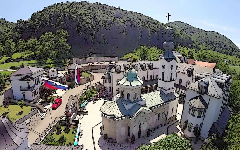
The fortress was located in the area now occupied by the city center, specifically spanning the zone between the current Atik Mosque and the Museum of Semberija. It was built during the late 17th or early 18th century when Bijeljina became a vital frontier outpost (border town) between the Ottoman and Austro-Hungarian Empires. Its primary purpose was to guard the crossing points of the Drina and Sava rivers.
Demolition & Urban Transformation
The fortress was dismantled in the late 19th century (predominantly around 1890). The Austro-Hungarian administration viewed the fortifications as an obstacle to modern sanitation and transport. The defensive moats were drained and filled to create the city’s current street grid, and the stones from the walls were utilized as foundation material for several historicist buildings that still stand in the city center today.
Key Highlights & Substitutes
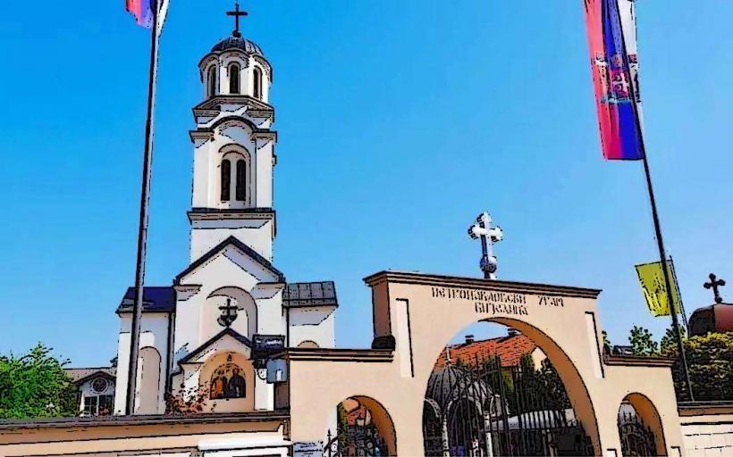
Atik Mosque: Rebuilt on its original site, this mosque was historically located within or immediately adjacent to the fortress walls.
Museum of Semberija: Houses the only surviving physical evidence of the fortress period, including Ottoman-era weaponry, cannonballs found during excavations, and 18th-century maps showing the fort's layout.
Urban Layout: The curved nature of some streets in the old center still follows the original perimeter of the fortress walls and moats.
Infrastructure & Amenities
The site is now a fully developed urban pedestrian and commercial zone. Infrastructure includes paved squares, modern lighting, and 5G/4G connectivity. The area is the most accessible part of the city, with the main municipal parking lots located within a 200-meter radius.
Best Time to Visit (Area)
To visualize the fortress, visit the Museum of Semberija during its operating hours (08:00–16:00). Walking the perimeter between the Museum and the Atik Mosque at sunset provides the best perspective on the historical "Old Town" atmosphere that the fortress once protected.
Facts & Legends
A persistent local legend suggests that a network of underground tunnels once connected the Bijeljina Fortress to the banks of the Drina River, intended as an escape route during sieges. While archaeological excavations have found vaulted cellars and drainage channels, no trans-regional tunnels have been verified. Historically, the fortress was known to have survived several major Austrian assaults during the 18th-century frontier wars.
Nearby Landmarks
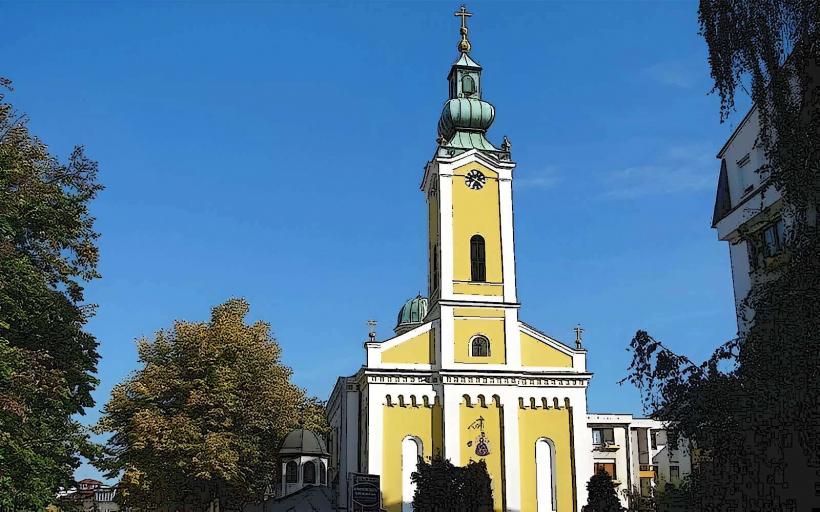
Atik Mosque (0.1km East - original site vicinity)
Museum of Semberija (0.1km North)
Trg Kralja Petra I (0.2km West)
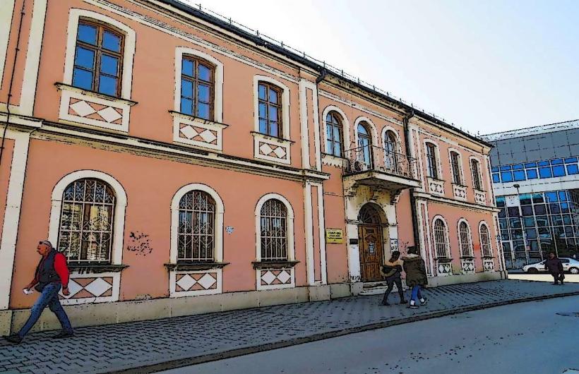
Filip Višnjić Library (0.3km North)
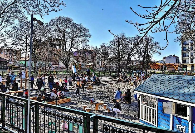
Bijeljina City Park (0.5km Southwest)