Information
Landmark: Blue Bay Marine ParkCity: Blue Bay
Country: Mauritius
Continent: Africa
Blue Bay Marine Park, Blue Bay, Mauritius, Africa
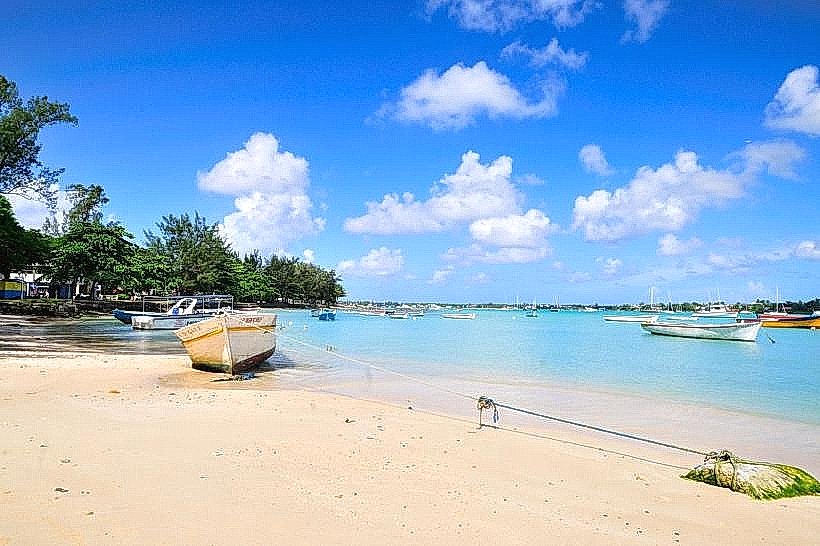
Blue Bay Marine Park is a protected maritime reserve situated on the southeast coast of Mauritius, near the village of Mahebourg. It covers an area of approximately 353 hectares and was designated a permanent marine park in 1997 due to its exceptional biodiversity.
Visual Characteristics
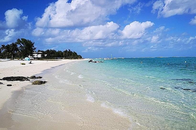
The park is defined by a shallow lagoon with water clarity extending to depths of 10 to 15 meters. The seabed features a high density of coral formations, including massive brain corals (Platygyra) exceeding five meters in diameter. Sand texture is fine and white, consisting of crushed coral and shells. Underwater, the environment is characterized by a spectrum of neon greens, yellows, and purples from over 50 species of coral and a variety of tropical reef fish.
Location & Access Logistics
The reserve is located approximately 5 kilometers from Sir Seewoosagur Ramgoolam International Airport and 12 kilometers from the center of Mahebourg. Access is via the Blue Bay public beach at the end of the B28 coastal road. Public bus line 198 connects Mahebourg to Blue Bay every 30 minutes. Parking is available at a large asphalt lot adjacent to the public beach. Access to the core marine zone requires a glass-bottom boat or a licensed vessel departing from the public jetty.
Historical & Ecological Origin
The park sits on a coral reef ecosystem that formed over thousands of years on a volcanic basalt shelf. It was declared a Ramsar site of international importance in 2008. The area is ecologically significant for its "coral garden," which survived the bleaching events that affected other parts of the island. The park serves as a nursery for various marine species, including green sea turtles and hundreds of types of mollusks.
Key Highlights & Activities
Snorkeling is the primary activity, with specific zones designated for observing the brain coral formations. Glass-bottom boat tours depart every 30 minutes for non-swimmers to view the reef. Scuba diving is permitted in deeper sections near the reef barrier. Kayaking and stand-up paddleboarding occur in the shallower peripheral zones. Scientific research and coral monitoring are ongoing activities conducted by the Ministry of Blue Economy.
Infrastructure & Amenities
Public restrooms and showers are located at the Blue Bay public beach entrance. Shade is provided by a dense grove of filao (casuarina) trees lining the shore. 4G and 5G cellular signals are strong throughout the beach and near-shore lagoon areas. Numerous food vendors and small restaurants are situated within a 200-meter radius of the parking area, offering local snacks and seafood.
Best Time to Visit
Optimal underwater visibility is achieved between 09:00 and 11:00, before the afternoon winds increase surface chop. The best months for calm sea conditions and warmth are October through December. High tide is preferable for snorkeling to ensure sufficient clearance over the fragile coral heads.
Facts & Legends
A local historical oddity is the wreck of the Dalblair, a British iron sailing ship that ran aground on the reef in 1902; its remains are still visible on the horizon from the beach. A specific tip for visitors: the park implements a strict "no-touch" policy for corals, as even minor contact can destroy centuries of growth and result in heavy fines.
Nearby Landmarks
Ile des Deux Cocos: 0.8km South
Mahebourg Waterfront: 4.5km Northwest
National History Museum (Mahebourg): 5.2km Northwest
Pointe d'Esny Beach: 1.5km North
Sir Seewoosagur Ramgoolam International Airport: 5.0km West