Information
Landmark: Bolin Creek TrailCity: Carrboro
Country: USA North Carolina
Continent: North America
Bolin Creek Trail, Carrboro, USA North Carolina, North America
Bolin Creek Trail – Detailed Overview
Location:
Bolin Creek Trail is located in Chapel Hill, North Carolina. It runs primarily along the Bolin Creek corridor and is an integral part of the town’s extensive greenway network, which aims to connect parks, neighborhoods, and downtown areas through accessible and scenic routes.
Trail Length, Surface, and Layout
Total Length: Approximately 2.5 miles (4 km), though planned expansions aim to extend the trail westward beyond its current terminus.
Trail Surface: The majority of the trail is paved with asphalt, about 10 feet wide, offering a smooth surface for walking, jogging, bicycling, and wheelchair access.
Topography: The trail runs through relatively flat terrain following the natural path of Bolin Creek. It crosses several small bridges and boardwalks over low-lying wetlands and floodplain areas.
Route and Connectivity
Trailheads and Endpoints:
Eastern Endpoint: Near Community Center Park and the Chapel Hill Community Center off South Estes Drive.
Western Endpoint: Currently near Umstead Park, but with proposed extensions to Estes Drive Extension and further west into Carrboro.
Key Connectors:
Tanyard Branch Trail: Links to the north, offering a route into the Northside neighborhood and further into downtown Chapel Hill.
Battle Branch Trail: Connects to the east, leading toward the University of North Carolina campus and downtown.
Environment and Natural Features
Bolin Creek: A serene, perennial stream that runs along the length of the trail. It is bordered by natural riparian vegetation and frequented by local wildlife.
Wooded Floodplain: Much of the trail lies within a forested floodplain area, shaded by a canopy of hardwood trees like sycamores, tulip poplars, and oaks.
Meadows and Wetlands: Small open fields and wetland pockets attract birds and pollinators, offering opportunities for wildlife viewing and nature photography.
Trail Amenities and Features
Benches and Rest Areas: Strategically placed along the trail for rest and contemplation.
Lighting: Select areas near urban connectors have lighting for safety during early morning or evening use.
Wayfinding Signs: Informational and directional signage is provided at junctions and trailheads.
Trash and Recycling Bins: Available at major access points to encourage proper waste disposal.
Accessibility
ADA Compliance: The trail is fully accessible to individuals with mobility impairments, with gentle grades, wide paths, and curb ramps at road crossings.
Public Transportation Access: Nearby bus routes serve the Community Center and Umstead Park, making the trail reachable without a car.
Nearby Attractions and Access Points
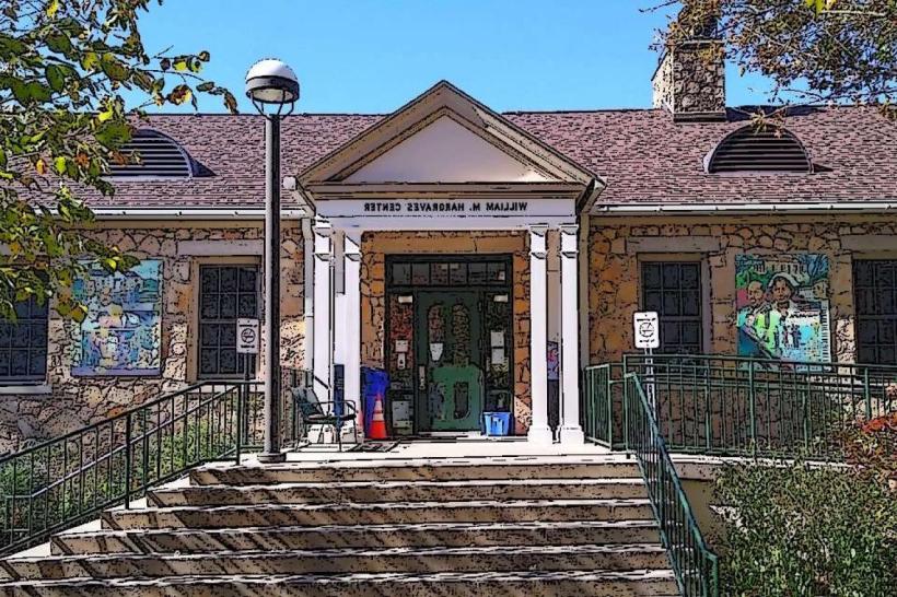
Chapel Hill Community Center: Located at the eastern end, offering sports courts, indoor pool, and restrooms.
Umstead Park: Features picnic shelters, open fields, a playground, restrooms, and parking. It serves as a family-friendly node for accessing the trail.
Bolinwood Drive Access: A mid-point neighborhood access point that allows residents to enter the trail via a short connector.
Caffe Driade: A local favorite café located just off the trail, reachable via an unpaved path. Offers coffee and pastries in a wooded setting.
Sunrise Biscuit Kitchen: Another nearby spot accessible via a set of stairs from the trail, popular for breakfast biscuits.
User Activities
Walking and Jogging: The trail is commonly used by locals for daily walks and running due to its flat terrain and natural setting.
Cycling: The paved surface makes it suitable for casual biking and family rides.
Nature Observation: Due to the ecological richness of the creek corridor, many visitors come for birdwatching, insect observation (e.g., butterflies, dragonflies), and plant identification.
Dog Walking: Leashed dogs are welcome, with pet waste stations available at several points.
Cultural and Educational Features
StoryWalk® Installation: Near Umstead Park, laminated children's book pages are displayed along the trail, encouraging family literacy and movement.
Public Art and Interpretive Signs: In some sections, trail users may encounter art installations or signs interpreting natural and historical features of the area.
Safety and Maintenance
Maintenance: The trail is regularly maintained by the Town of Chapel Hill Parks and Recreation Department. This includes tree trimming, surface repair, and trash collection.
Flooding Caution: Some low-lying sections of the trail can flood during heavy rain due to its location in a floodplain. Temporary closures are posted when needed.
Surveillance and Patrols: While not heavily policed, the trail is patrolled periodically by local authorities, especially near urban access points.
Annual Use and Community Role
Popularity: It is estimated that over 100,000 people use the Bolin Creek Trail annually, making it one of the most heavily used trails in Orange County.
Community Engagement: The trail is frequently used for charity walks, school science outings, community bike rides, and environmental stewardship events.
Planned Expansions and Improvements
Western Extension Plans: The Town of Chapel Hill is currently planning to extend the trail westward to the Chapel Hill High School area and the town of Carrboro, which has generated both support and debate due to environmental and development concerns.
Connectivity Enhancements: Additional sidewalk links and improved crossings are in development to enhance pedestrian and bicycle connections to the trail.
Environmental Restoration: As part of future projects, sections of Bolin Creek and surrounding wetlands are targeted for streambank stabilization and invasive species management.
Bolin Creek Trail is not only a valuable recreational asset but also an ecological and social corridor that weaves together natural beauty, accessibility, and community connectivity. Whether used for exercise, commuting, relaxation, or nature discovery, it plays a central role in the urban green infrastructure of Chapel Hill.


