Information
Landmark: Boucan CarreCity: Petit Goave
Country: Haiti
Continent: North America
Boucan Carre, Petit Goave, Haiti, North America
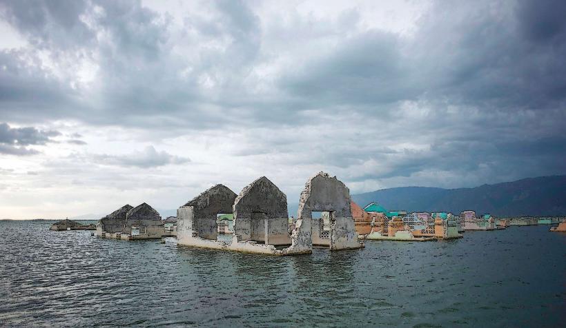
Boucan Carre is a mountain village located in the central plateau region of Haiti. It is situated approximately 75 kilometers northeast of Port-au-Prince.
Visual Characteristics
The landscape is characterized by rolling hills and agricultural terraces. Vegetation consists primarily of tropical hardwoods, coffee plants, and various fruit trees. The terrain is predominantly rocky with exposed soil in cultivated areas.
Location & Access Logistics
Access to Boucan Carre is via Route Nationale 1 (RN1) north from Port-au-Prince. Turn east onto Route Nationale 4 (RN4) towards Mirebalais, then continue on RN4 towards Hinche. The turn-off for Boucan Carre is a paved road approximately 15 kilometers past Mirebalais. The final approach is a gravel road, approximately 5 kilometers in length. Parking is available on the roadside in designated areas. Public transport options include shared taxis (tap-taps) traveling between Port-au-Prince and Mirebalais, with local transport available from Mirebalais to Boucan Carre.
Historical & Ecological Origin
Boucan Carre's origins are tied to early Haitian agricultural practices. The area's ecological classification is a tropical montane forest ecosystem, adapted to the higher elevations and rainfall patterns of the central plateau.
Key Highlights & Activities
Hiking is possible on local trails. Coffee plantation tours are available by arrangement. Observation of local agricultural methods is a primary activity.
Infrastructure & Amenities
Basic amenities include small local shops selling produce and dry goods. Restrooms are not publicly available; visitors should plan accordingly. Shade is provided by natural tree cover in some areas. Cell phone signal is intermittent.
Best Time to Visit
The dry season, from November to April, offers the most favorable weather conditions for travel. The best time of day for landscape photography is generally in the morning or late afternoon when the sun angle is lower.
Facts & Legends
The name "Boucan Carre" translates to "Square Smoker," referencing historical methods of smoking meat or fish in square-shaped structures. Local lore speaks of ancient spirits residing in the larger rock formations.
Nearby Landmarks
- Lake Azuei (Etang Saumâtre) - 15km Southwest
- Fort des Platons - 20km West
- La Gonave Island (visible from higher elevations) - 40km Southwest
- La Visite National Park - 50km South