Information
Landmark: Bridge IslandCity: Swakopmund
Country: Namibia
Continent: Africa
Bridge Island, Swakopmund, Namibia, Africa
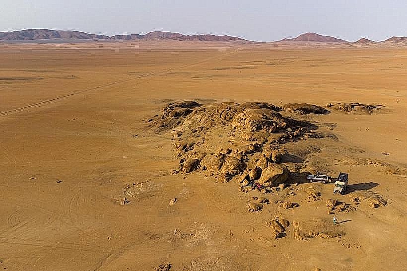
Bridge Island is a small rocky outcrop and historical landmark located within the lagoon of Walvis Bay, Namibia. It is positioned approximately 500 meters offshore from the shoreline near the industrial harbor area.
Visual Characteristics
The island is a low-lying, dark grey basaltic formation with a flat upper surface. Its texture is rugged and uneven, heavily encrusted with white guano deposits and salt crystals. During low tide, the surrounding seabed reveals muddy silt and shallow tidal pools, while high tide partially submerges the lower rocky tiers.
Location & Access Logistics
The landmark is situated at the southern end of the Walvis Bay harbor, accessible via the Atlantic Street waterfront. There is no land-based bridge or causeway; access is strictly by small boat, kayak, or as part of organized lagoon cruises departing from the Walvis Bay Waterfront. Private vehicles can park at the waterfront lots 1km to the North.
Historical & Ecological Origin
The island served as a natural platform for early guano collection and maritime navigation in the late 19th century. Ecologically, it functions as a critical roosting site for Great White Pelicans, Cape Cormorants, and Greater Flamingos. The island is part of the Ramsar-protected Walvis Bay lagoon ecosystem.
Key Highlights & Activities
Birdwatching is the primary activity, with significant populations of marine birds visible from the water. Guided kayak tours frequently circle the island to observe the Cape fur seals that occasionally rest on the rocks. Commercial catamarans pass the island during morning harbor excursions.
Infrastructure & Amenities
The island is entirely undeveloped and has no infrastructure. There are no restrooms, shade structures, or food vendors. Cellular signal (5G) is strong due to the proximity of the Walvis Bay urban center and harbor facilities.
Best Time to Visit
The best time for observation is during the morning hours (08:00 to 11:00) when wind speeds are typically low. High tide is preferred for boat access to the immediate vicinity, while low tide exposes more of the island's bird-inhabited rocky base. The months of September through March offer the highest bird density.
Facts & Legends
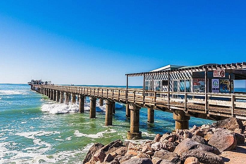
Despite the name "Bridge Island," there is no bridge connecting it to the mainland; the name is a historical remnant from a proposed 20th-century plan to build an industrial pier that would have used the island as a foundational support. It remains one of the few spots in the lagoon where pelicans are known to congregate in high numbers away from human foot traffic.
Nearby Landmarks
Walvis Bay Waterfront – 1.2km North
Pelican Point Lighthouse – 8.5km Northwest
Walvis Bay Salt Works – 4.2km South
The Raft Restaurant – 1.1km Northeast