Information
Landmark: Bruny IslandCity: Hobart
Country: Australia
Continent: Australia
Bruny Island, Hobart, Australia, Australia
Bruny Island is an island located off the southeastern coast of Tasmania, Australia, accessible via a vehicular ferry from the mainland.
It is a significant natural area known for its diverse landscapes and wildlife.
Visual Characteristics
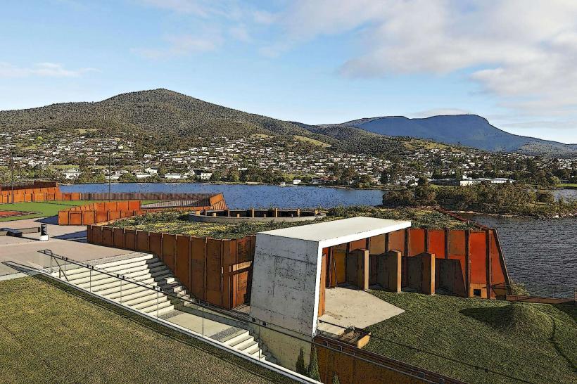
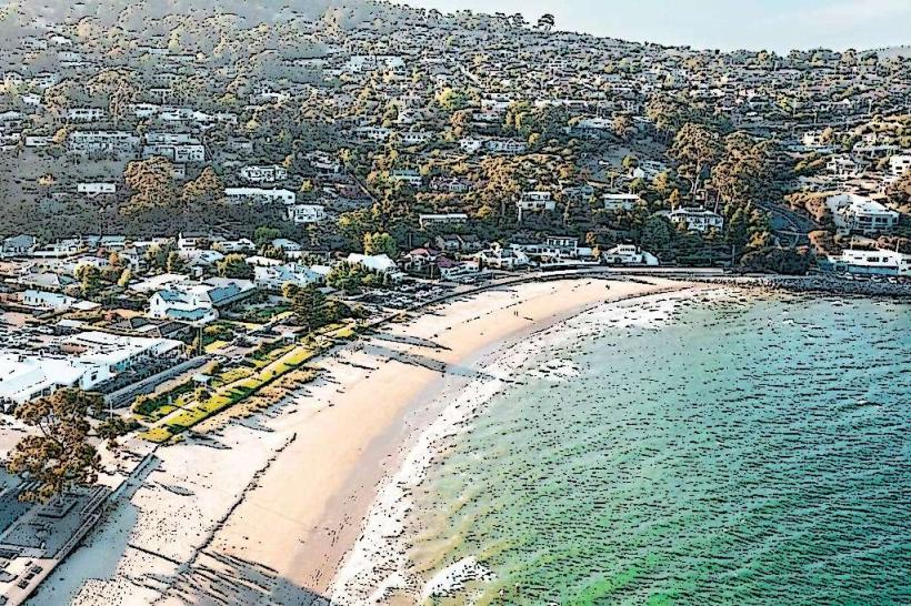
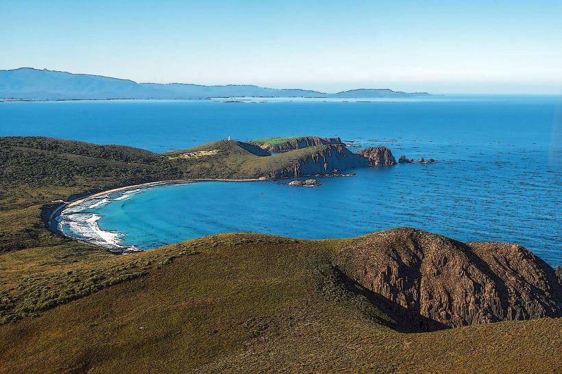
The island features a varied topography, including granite headlands, sandy beaches, and dense eucalyptus forests. The coastline is characterized by rugged cliffs in some areas and sheltered bays with fine, pale sand in others. Inland, the vegetation is predominantly temperate rainforest and dry sclerophyll forest. The waters surrounding the island are typically clear, with varying shades of blue and green depending on depth and sediment.
Location & Access Logistics
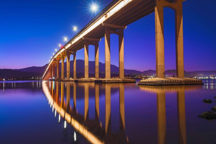
Bruny Island is situated approximately 50 kilometers south of Hobart. Access is primarily via the vehicular ferry service operating from Kettering, which is a 45-minute drive south of Hobart's central business district. The ferry crossing takes approximately 15-20 minutes. Parking is available at the ferry terminal in Kettering and at various points on Bruny Island, though it can be limited during peak seasons. No public bus services operate on Bruny Island itself.
Historical & Ecological Origin
Bruny Island was formed by rising sea levels after the last Ice Age, separating it from the Tasmanian mainland. It is part of the Tasmanian Wilderness World Heritage Area. Indigenous Tasmanian Aboriginal people inhabited the island for thousands of years prior to European settlement. The island's name honors explorer Abel Tasman, who sighted it in 1642, and French explorer Bruni d'Entrecasteaux, who charted it in 1792.
Key Highlights & Activities
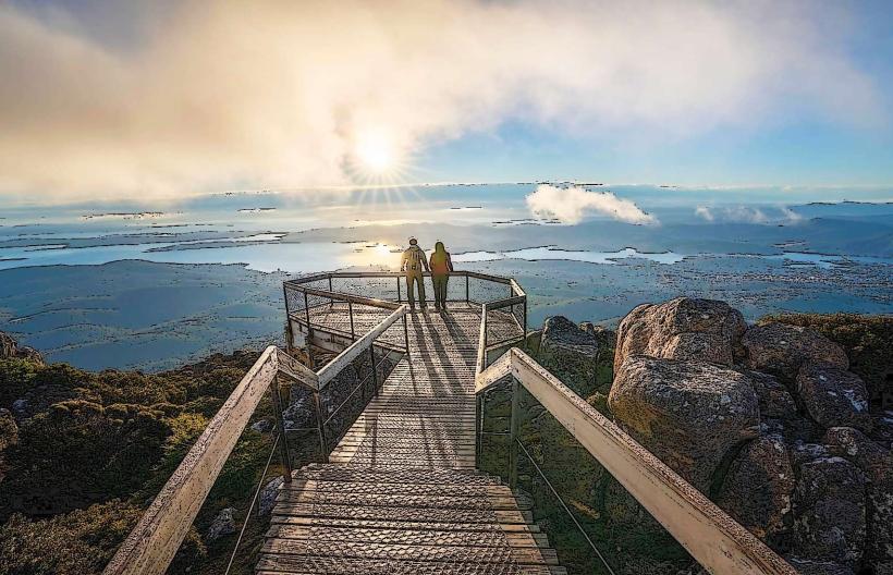
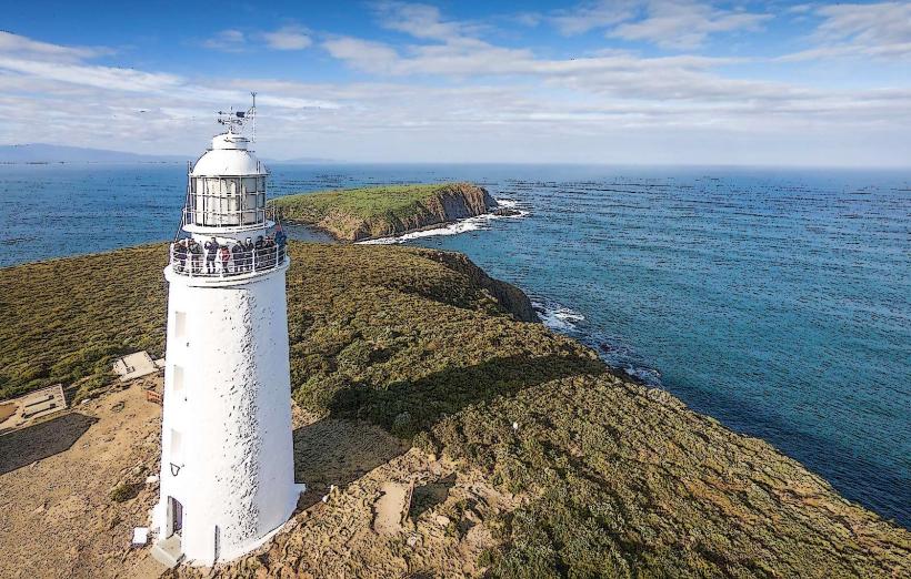
Activities include hiking the Neck Game Reserve track for panoramic views, observing seals and penguins at Fluted Cape, and birdwatching in various habitats. Coastal walks are available along designated trails. Fishing is permitted in designated areas. Wildlife spotting, including wallabies and echidnas, is common. The Cape Bruny Lighthouse offers historical insights and coastal vistas.
Infrastructure & Amenities
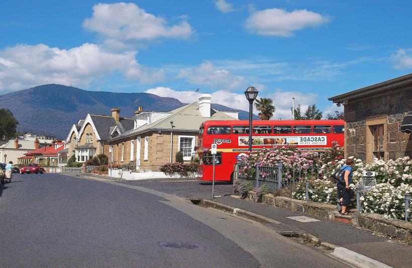
Restrooms are available at key visitor sites such as the Neck Game Reserve and Adventure Bay. Limited shade is provided by natural tree cover in forested areas and some picnic shelters. Cell phone signal (4G) is intermittent and generally unavailable in remote sections of the island. Food vendors and general stores are located in the main settlements like Adventure Bay and Alonnah.
Best Time to Visit
The best months for visiting are typically from September to May, offering milder weather. For photography, early morning and late afternoon light provides optimal conditions for coastal landscapes. High tide is generally preferred for beach access and observing marine life. Whale watching season runs from May to July and again from September to November.
Facts & Legends
A unique geological feature is the "Neck," a narrow isthmus connecting the north and south parts of the island, formed by sand dunes. It is a critical wildlife corridor. A local legend speaks of a phantom ship that appears off the coast during storms, though this is unverified.
Nearby Landmarks
- Adventure Bay (0.5km South)
- Cape Bruny Lighthouse (25km South)
- Fluted Cape (28km South)
- Mount Mangana (15km Southwest)
- D'Entrecasteaux National Park (40km West, mainland)