Information
Landmark: Tasman BridgeCity: Hobart
Country: Australia
Continent: Australia
Tasman Bridge, Hobart, Australia, Australia
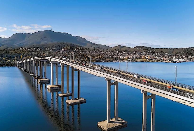
The Tasman Bridge is a concrete arch bridge spanning the Derwent River in Hobart, Tasmania, Australia. It connects the eastern and western shores of the city.
Visual Characteristics
The bridge is constructed from reinforced concrete and steel. It features a distinctive arch design with a deck supported by pylons. The total length is 1,350 meters (4,430 ft), with a main span of 130 meters (430 ft). The deck is 17 meters (56 ft) wide and has a clearance of 52 meters (171 ft) above the water at high tide.
Location & Access Logistics
The Tasman Bridge is located approximately 5 kilometers (3.1 miles) east of Hobart's central business district. Access is via the Tasman Highway (A3) on the eastern side and the Southern Outlet (A1) on the western side. Ample parking is available at designated viewing areas on both the eastern and western approaches. Public transport is served by various Metro Tasmania bus routes that cross the bridge, with stops located at either end.
Historical & Ecological Origin
Construction of the Tasman Bridge began in 1960 and it was opened in 1964. It was designed by the Tasmanian Department of Public Works. The bridge was built to replace an earlier ferry service and to facilitate the growing traffic demands of Hobart. The site is situated on the Derwent River estuary, a tidal waterway.
Key Highlights & Activities
Pedestrian access is permitted on dedicated walkways on both sides of the bridge, offering views of the river and city. Cycling is also permitted. Observation points at either end provide opportunities for photography and river observation. Fishing is possible from the riverbanks near the bridge approaches.
Infrastructure & Amenities
Restrooms are available at the viewing areas on both the eastern and western sides. Shade is limited to the viewing shelters. Cell phone signal (4G/5G) is generally strong across the bridge. Food vendors are not located directly on the bridge, but are available in the surrounding suburbs.
Best Time to Visit
For photography, early morning or late afternoon light provides optimal illumination of the bridge and river. The best months for weather are typically from September to April, offering milder temperatures and less rainfall. Tidal information is not critical for bridge access, but can influence river conditions.
Facts & Legends
A significant event in the bridge's history occurred in 1975 when the MV Lake Illawarra collided with a pylon, causing a section of the bridge to collapse. This incident resulted in the loss of 12 lives. A unique tip for visitors is to observe the bridge at night when it is illuminated, providing a different visual perspective.
Nearby Landmarks
- Salamanca Market (2.5km West)
- Mount Nelson Signal Station (3.0km Southwest)
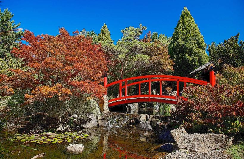
- Royal Tasmanian Botanical Gardens (3.5km West)
- Princes Park (1.0km Northwest)
- Hobart Aquatic Centre (2.0km West)