Information
Landmark: Derwent RiverCity: Hobart
Country: Australia
Continent: Australia
Derwent River, Hobart, Australia, Australia
The Derwent River is a major river in Tasmania, Australia, flowing through the state capital, Hobart.
It is a tidal estuary that extends inland for approximately 50 kilometers.
Visual Characteristics
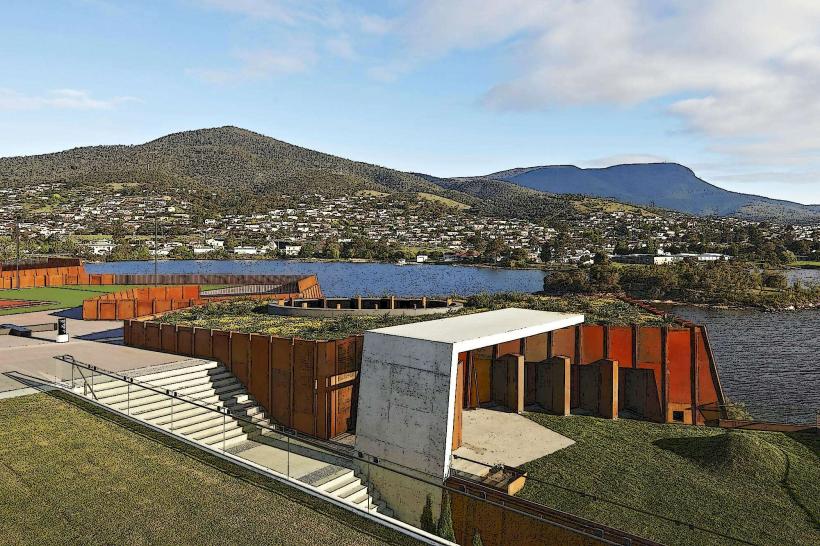
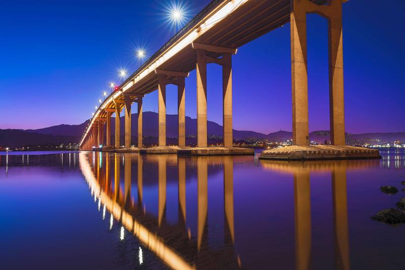
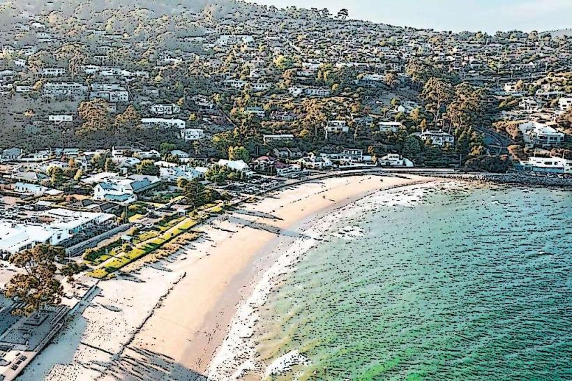
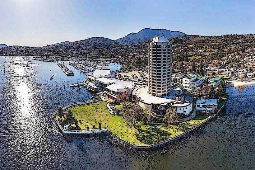
The river's width varies, reaching up to 3.5 kilometers at its widest point. Water color is typically a muted grey-green, influenced by sediment load and tidal conditions. The riverbanks are characterized by a mix of urban development, industrial areas, and natural bushland. Prominent features include the Tasman Bridge and the Royal Hobart Hospital complex along the Hobart waterfront.
Location & Access Logistics
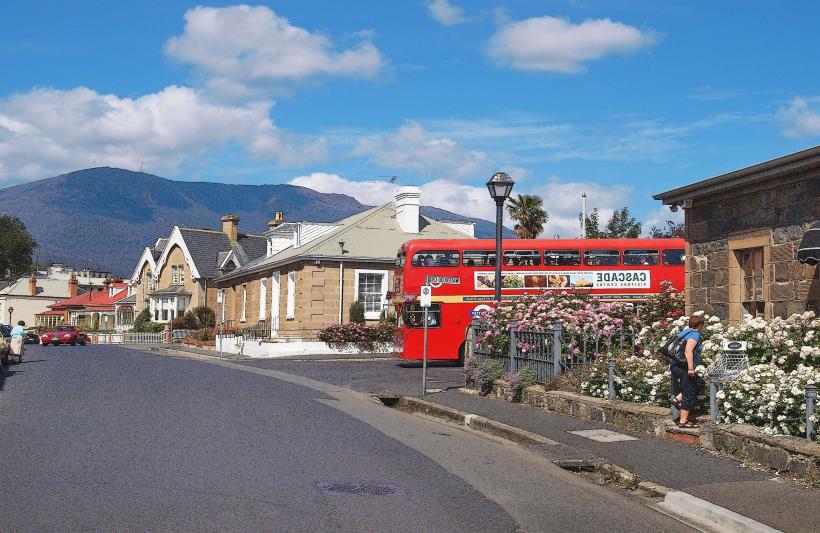
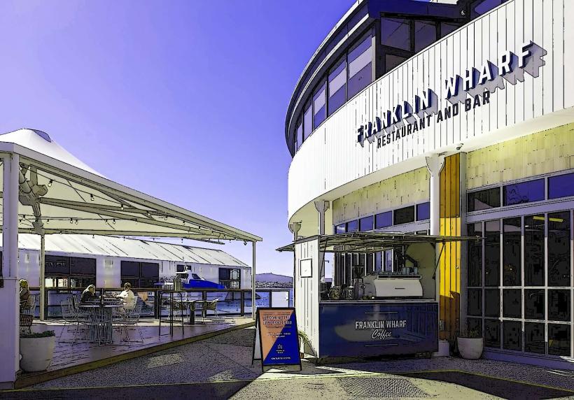
The Derwent River bisects Hobart. Access points are numerous within the city. Major roads running alongside include the Southern Outlet (A1) and the Brooker Highway (A1). Parking is available at various waterfront precincts, such as Salamanca Place and Constitution Dock, with metered street parking and multi-story car parks. Public transport includes numerous bus routes operated by Metro Tasmania that service areas along the river, with major hubs at the Hobart bus station. Ferry services operate between Bellerive and the Hobart CBD.
Historical & Ecological Origin
The Derwent River is a geologically young river, formed by the drowning of a river valley during the Holocene epoch. Indigenous Tasmanian Aboriginal people have a long history of connection to the river and its catchment. European settlement began in the early 19th century, with Hobart established as a penal colony in 1804. The river served as a primary transport route and resource for the colony.
Key Highlights & Activities
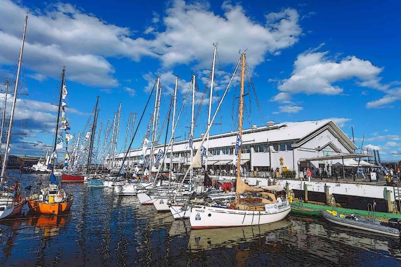
Activities include sailing and boating, with numerous marinas and yacht clubs along its banks. Fishing is permitted, with species such as salmon and bream present. Kayaking and paddleboarding are popular in calmer sections. The Royal Hobart Regatta is an annual event held on the river. Walking and cycling paths are accessible along the waterfront.
Infrastructure & Amenities
Restrooms are available at public parks and waterfront areas. Shade is provided by trees in parklands and some covered seating areas. Cell phone signal (4G/5G) is generally strong throughout the urban sections of the river. Food vendors and restaurants are concentrated in the Hobart CBD and surrounding waterfront precincts.
Best Time to Visit
For photography, early morning and late afternoon offer softer light. The best months for general outdoor activities are typically from September to April, avoiding the colder winter months. Tidal influence is constant; check tide charts for specific boating or intertidal exploration activities.
Facts & Legends
A notable historical oddity is the construction of the Tasman Bridge, which collapsed in 1975 after a ship collision. The river is also known for its strong tidal currents, particularly around the Tasman Bridge, which can pose a challenge for smaller vessels.
Nearby Landmarks
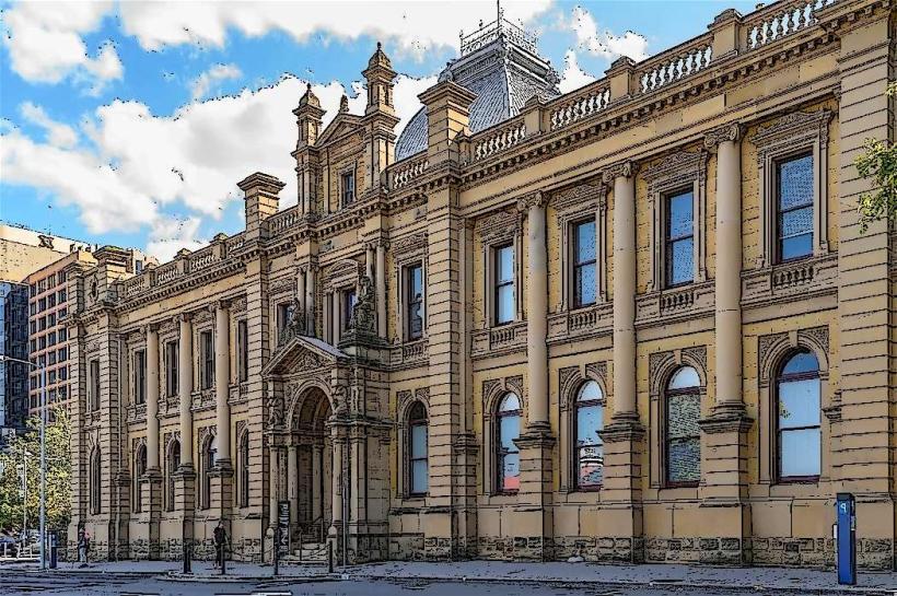
- Salamanca Market (0.2km West)
- Tasman Bridge (1.5km East)
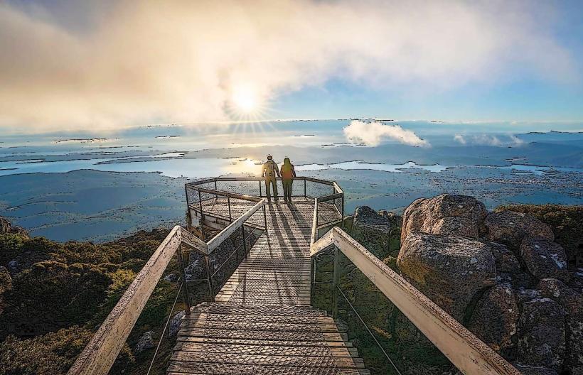
- Mount Wellington (Wellington Park) (8km West)
- Battery Point (0.8km South-West)
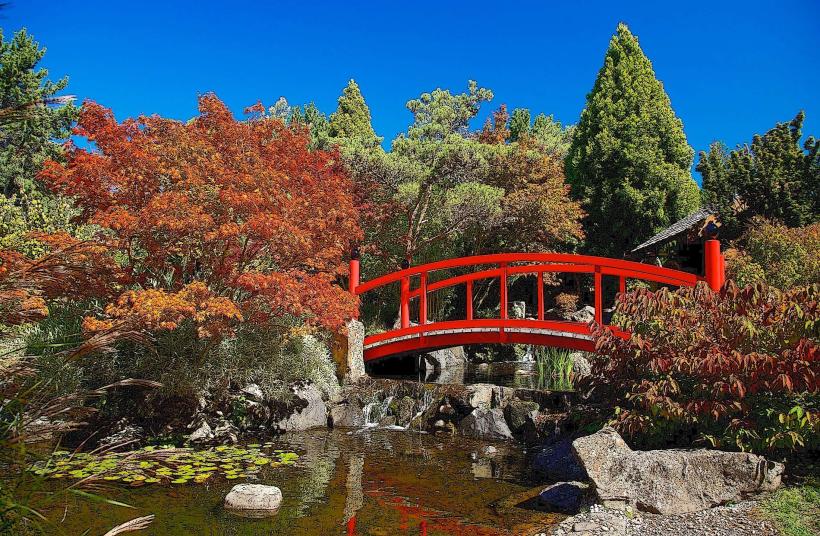
- Royal Tasmanian Botanical Gardens (3km North-West)