Information
Landmark: Cala XarracaCity: Sant Joan de Labritja
Country: Balearic Islands
Continent: Europe
Cala Xarraca, Sant Joan de Labritja, Balearic Islands, Europe
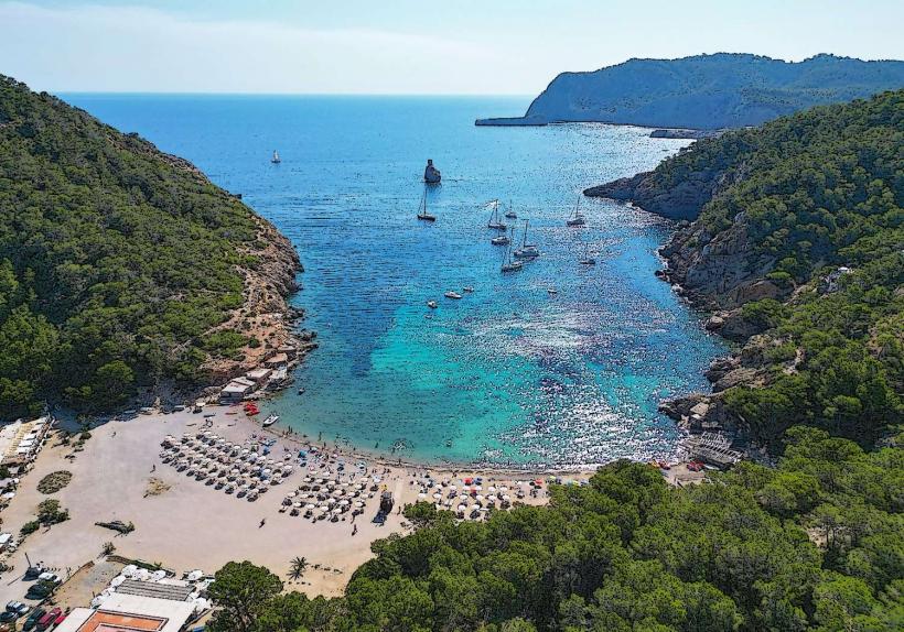
Cala Xarraca is a cove located on the northern coast of Ibiza, within the municipality of Sant Joan de Labritja.
Visual Characteristics
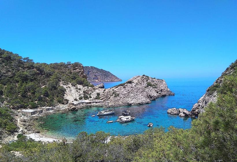
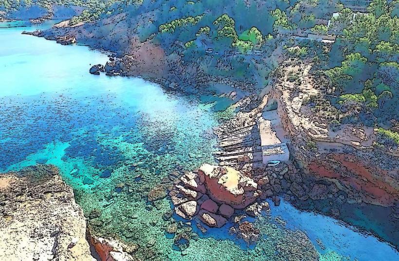
This cove features a U-shaped bay with a shoreline composed of dark, coarse sand and pebbles. The surrounding cliffs are characterized by pine forests and rocky outcrops. The water clarity is high, with shades of turquoise and deep blue depending on depth. The average depth within the bay is approximately 5 meters, increasing to 15 meters near the entrance.
Location & Access Logistics
Cala Xarraca is situated approximately 10 kilometers north of Sant Joan de Labritja. Access is via the PM-710 road, turning onto the unpaved track signposted for Cala Xarraca. The track is approximately 1.5 kilometers long and is suitable for most vehicles, though caution is advised. Limited parking is available at the end of the track, often filling by mid-morning during peak season. Public transport is not directly available; the nearest bus stop is in Sant Joan de Labritja, requiring a taxi or a significant walk.
Historical & Ecological Origin
The cove's geological formation is a result of coastal erosion and tectonic activity, typical of the Balearic Islands' limestone bedrock. Historically, it served as a small fishing anchorage. The surrounding area is part of a protected natural space, emphasizing its ecological significance.
Key Highlights & Activities
Snorkeling and diving are possible due to the clear water and rocky seabed. The eastern side of the cove offers a reef system suitable for exploration. Kayaking along the coastline is also an option. Fishing from the rocks is permitted in designated areas.
Infrastructure & Amenities
A small, seasonal restaurant operates on the western side of the cove, offering food and beverages. Public restrooms are available near the restaurant. Shade is limited, primarily provided by natural rock formations and a few scattered trees. Cell phone signal (4G) is generally available.
Best Time to Visit
For photography, early morning (08:00-10:00) provides direct sunlight on the water. The months of June, July, and September offer the most stable weather conditions with average temperatures between 25-30°C. High tide is generally preferable for swimming and water activities, as it increases water depth closer to the shore.
Facts & Legends
Local lore suggests that pirates once used this secluded cove as a temporary refuge. A specific tip for visitors is to explore the rock pools exposed at low tide on the western side, which can reveal small marine life.
Nearby Landmarks
- Portinatx (2.5km Northeast)
- Cala de Sant Vicent (4.0km East)
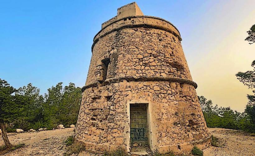
- Torre de Portinatx (3.0km Northeast)
- Cala Xuclar (1.5km West)