Information
Landmark: Es PortitxolCity: Sant Joan de Labritja
Country: Balearic Islands
Continent: Europe
Es Portitxol, Sant Joan de Labritja, Balearic Islands, Europe
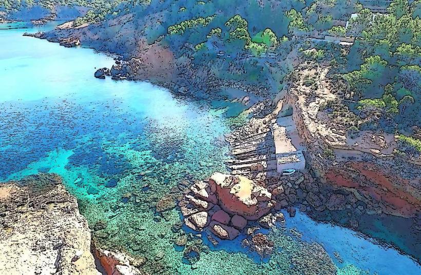
Es Portitxol is a small natural harbor located on the northern coast of the island of Ibiza, within the municipality of Sant Joan de Labritja.
This cove is characterized by its rugged, rocky coastline and the presence of traditional fishermen's huts built into the cliff face.
Visual Characteristics
The cove features dark, coarse sand mixed with pebbles. The surrounding cliffs are composed of sedimentary rock, primarily limestone, with sparse Mediterranean scrub vegetation. The water clarity is high, with a deep blue hue extending from the shore. The fishermen's huts are constructed from stone and wood, painted in muted earth tones.
Location & Access Logistics
Es Portitxol is situated approximately 8 kilometers north of the town center of Sant Joan de Labritja. Access is via the PM-710 road, turning onto a narrow, unpaved track signposted for Portinatx. The final approach involves a descent on foot via a steep, rocky path approximately 500 meters long. Limited parking is available at the trailhead, with no public transport directly serving the cove.
Historical & Ecological Origin
The natural harbor of Es Portitxol is a result of coastal erosion and geological processes acting on the limestone bedrock over millennia. The fishermen's huts, known as 'escars', have been in use for centuries, serving as shelter and storage for fishing equipment for local mariners. This area is part of a protected coastal zone due to its ecological significance.
Key Highlights & Activities
Activities include observing the traditional fishing huts, swimming in the cove, and exploring the immediate rocky shoreline. Fishing from the rocks is permitted. No organized tours or services are available at the cove itself.
Infrastructure & Amenities
There are no facilities at Es Portitxol. Restrooms, shade, food vendors, and cell phone signal are absent. Visitors should bring all necessary supplies.
Best Time to Visit
The best time for photography is late afternoon when the sun illuminates the western-facing cliffs. The months of May, June, September, and October offer pleasant temperatures for visiting. Access can be challenging after heavy rainfall due to the unpaved track.
Facts & Legends
Local lore suggests that the cove was a frequent landing point for smugglers in past centuries due to its secluded nature. The 'escars' are still actively used by a small number of local fishermen, preserving a traditional way of life.
Nearby Landmarks
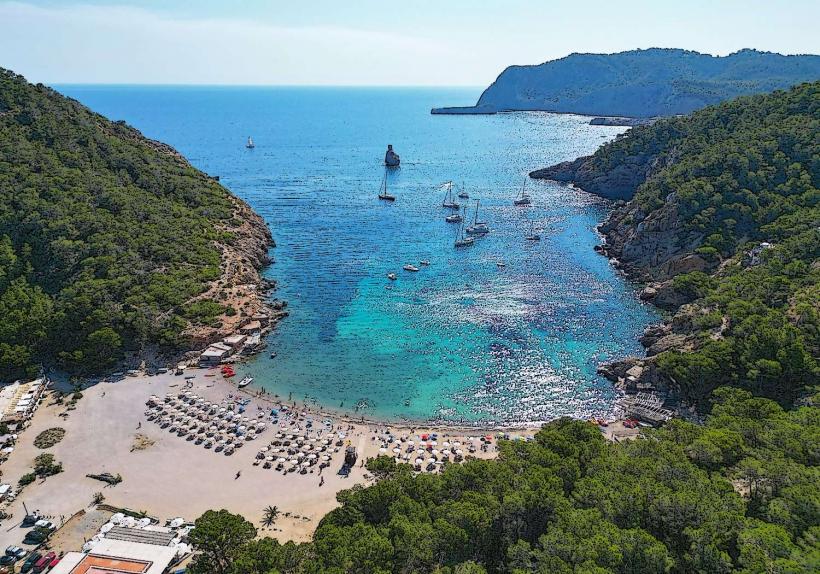
- Cala Xuclar (1.2km Southwest)
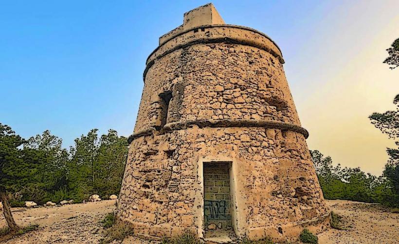
- Torre de Es Savinar (3.5km West)
- Platja de Portinatx (4.0km Northeast)
- Cala de Sant Vicent (4.8km Southeast)