Information
Landmark: Cape PointCity: Cape Town
Country: South Africa
Continent: Africa
Cape Point, Cape Town, South Africa, Africa
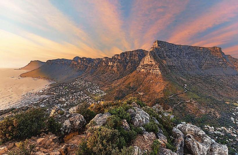
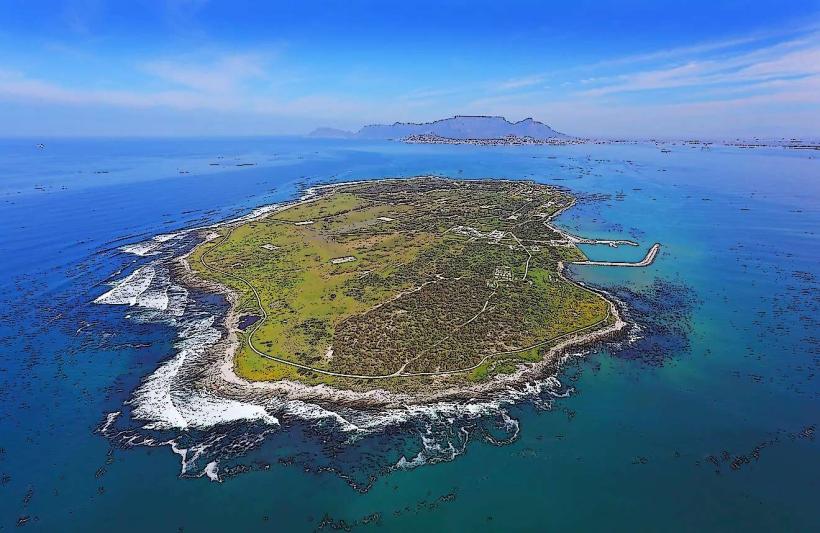
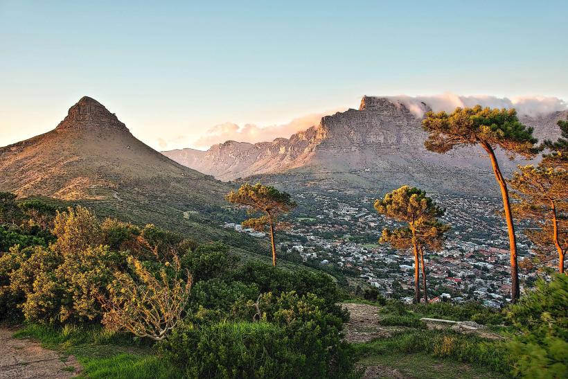
Cape Point is a prominent headland located at the southwestern tip of the Cape Peninsula in Cape Town, South Africa. It is situated within the Table Mountain National Park.
Visual Characteristics
The point features rugged, rocky cliffs that drop sharply to the ocean. Vegetation consists of dense fynbos, a unique shrubland biome. The ocean water is typically a deep blue, with white surf breaking against the rocks. Two lighthouses are present: an old, disused one and a newer, active one situated lower down the point.
Location & Access Logistics
Cape Point is approximately 60 kilometers south of Cape Town's city center. Access is via the M4 coastal road, which becomes the M6 and then the M24 as it approaches the Cape Peninsula. The final section is a well-maintained paved road within the national park. Parking is available at the main visitor area, with a fee often required. Public transport options are limited; the most common method is by private vehicle or organized tour. MyCiTi bus routes do not extend directly to Cape Point.
Historical & Ecological Origin
Geologically, Cape Point is composed of ancient quartzites and shales, part of the Cape Supergroup, formed over 500 million years ago. Ecologically, it is part of the Cape Floral Kingdom, a UNESCO World Heritage Site, characterized by its high biodiversity and endemic plant species. The first lighthouse was constructed in 1860, and the current, more functional lighthouse was built in 1919.
Key Highlights & Activities
Visitors can walk to the summit of the old lighthouse for panoramic views. Hiking trails are available, including the path to Diaz Beach. Observation decks provide viewpoints for whale watching during the migration season (June to November). The Flying Dutchman funicular operates to transport visitors between the parking area and the lighthouse complex.
Infrastructure & Amenities
Restrooms are available at the main visitor center. Shade is limited, primarily found at the visitor center and restaurant area. Cell phone signal (4G/5G) is generally available, though it can be intermittent in certain areas. A restaurant and curio shop are located at the visitor center.
Best Time to Visit
For photography, early morning or late afternoon offers optimal lighting conditions, particularly for capturing the coastline. The best months for weather are typically from October to April, offering less wind and rain. High tide can enhance the visual impact of the waves crashing against the cliffs.
Facts & Legends
The "Flying Dutchman" legend, a ghost ship doomed to sail the seas forever, is often associated with the treacherous waters around the Cape of Good Hope. A specific tip for visitors is to be aware of baboons, which are common in the area and can approach visitors for food.
Nearby Landmarks
- Cape of Good Hope (0.5km Southwest)
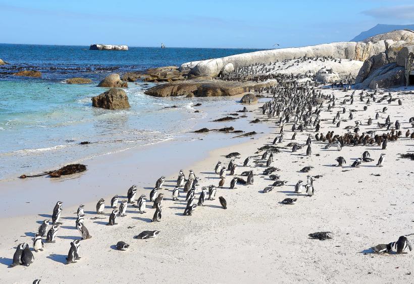
- Boulders Beach Penguin Colony (15km North)
- Simon's Town (18km North)
- Kalk Bay Harbour (25km North)
- Chapman's Peak Drive (30km North)