Information
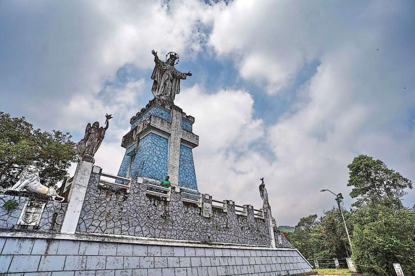
Landmark: Cerro de las Tres CrucesCity: Popayan
Country: Colombia
Continent: South America
Cerro de las Tres Cruces, Popayan, Colombia, South America
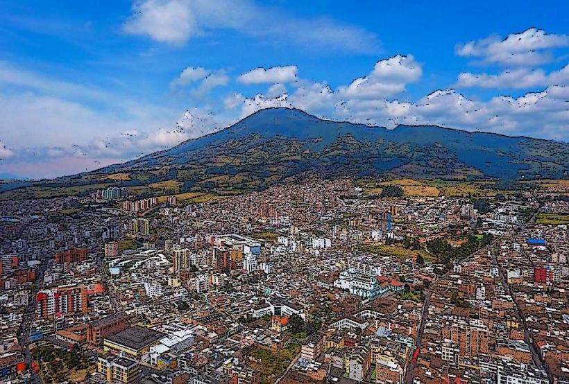
Cerro de las Tres Cruces is a prominent hill located within the city limits of Popayán, Colombia. It serves as a significant natural and cultural landmark for the municipality.
Visual Characteristics
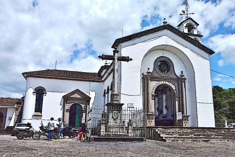
The hill is characterized by its moderate elevation and a summit marked by three large white crosses. The slopes are covered in a mix of scrub vegetation and scattered trees, with exposed rock formations visible in certain areas. The overall color palette is dominated by earthy tones of brown and green, contrasting with the white of the crosses.
Location & Access Logistics
Cerro de las Tres Cruces is situated approximately 2 kilometers west of Popayán's central plaza. Access is primarily via the Carrera 12, which leads to the base of the hill. A paved pathway extends partway up, transitioning to a dirt trail for the final ascent. Parking is available at designated points near the trailhead. Public transport options include local bus routes that run along Carrera 12, with stops within a 500-meter walk of the access point.
Historical & Ecological Origin
The hill's geological origin is part of the Andean mountain range, formed by uplift and erosion processes over millennia. The crosses at the summit were erected as a religious monument, with their exact installation date and original purpose linked to local Catholic traditions and pilgrimage practices. The vegetation is typical of dry tropical forest ecosystems found at this altitude in the region.
Key Highlights & Activities
The primary activity is hiking to the summit to view the three crosses. The trail offers panoramic views of Popayán and the surrounding Cauca Valley. Photography is a common activity, particularly during sunrise and sunset. The site is also used for religious observances and local festivals.
Infrastructure & Amenities
Basic amenities are limited. There are no permanent restroom facilities at the summit. Shade is provided by scattered trees along the trail. Cell phone signal (4G/5G) is generally available but can be intermittent at higher elevations. Food vendors are typically found at the base of the hill, especially on weekends and holidays.
Best Time to Visit
The best time of day for photography is early morning or late afternoon to utilize softer light. The driest months, generally from June to August and December to February, offer the most favorable weather conditions for hiking. There are no tide-related considerations.
Facts & Legends
A local legend suggests that the crosses were placed to ward off evil spirits or to commemorate a significant historical event, though specific verifiable details are scarce. A practical tip for visitors is to wear sturdy footwear due to the uneven terrain on the upper parts of the trail.
Nearby Landmarks
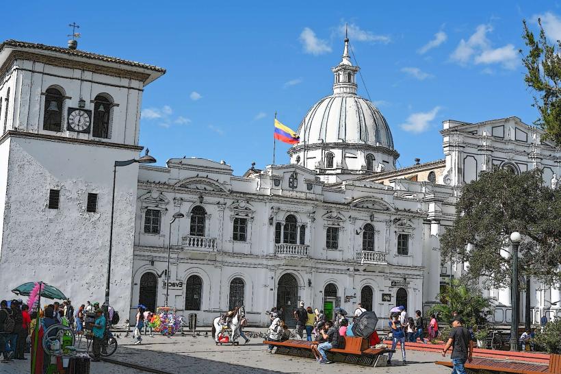
- Parque Caldas (0.8km East)
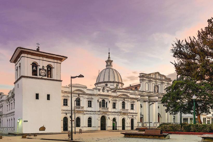
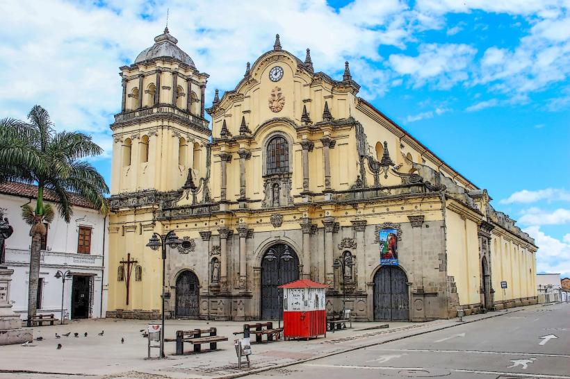
- Popayán Cathedral (1km East)
- Museo Arqueológico (1.2km East)
- Morro del Tulcán (1.5km Southeast)
- Casa Museo Negret (1.3km East)