Information
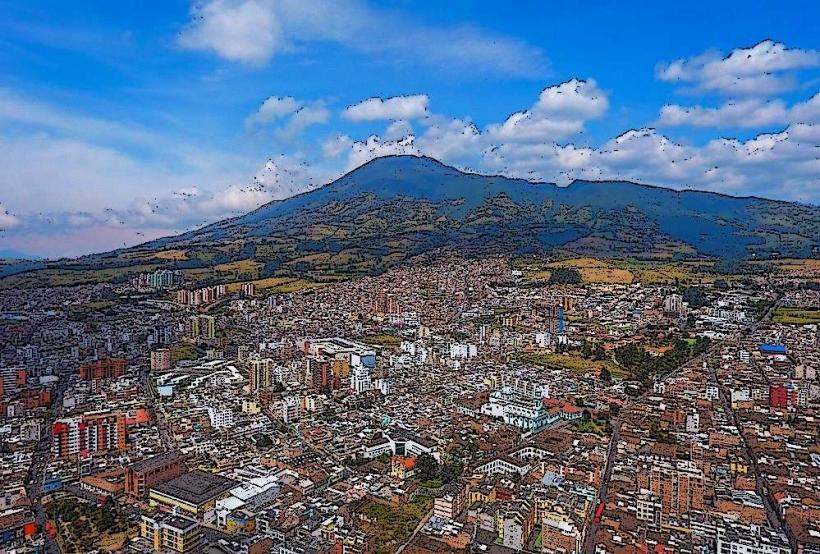
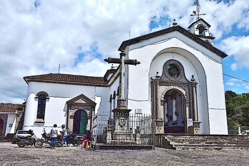
Landmark: Puracé National Natural ParkCity: Popayan
Country: Colombia
Continent: South America
Puracé National Natural Park, Popayan, Colombia, South America
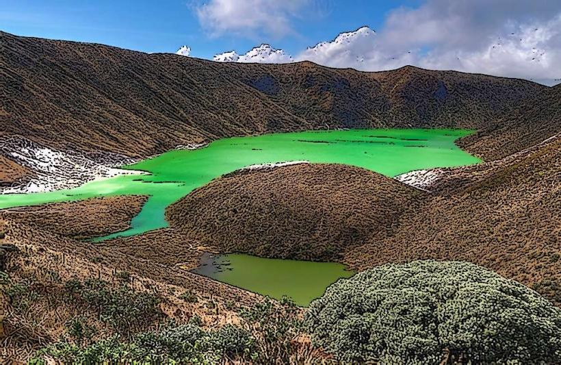
Puracé National Natural Park is a protected area located in the Andes Mountains of Colombia, south of Popayán.
This park encompasses a significant portion of the Puracé volcano and its surrounding páramo ecosystem.
Visual Characteristics
The landscape is characterized by high-altitude grasslands (páramo) with dense vegetation, including frailejones (Espeletia spp.). The Puracé volcano is an active stratovolcano with a crater lake. Numerous waterfalls and rivers, such as the Río Vinagre, are present. Rock formations are primarily volcanic in origin.
Location & Access Logistics
The park entrance is approximately 45 kilometers south of Popayán via the Pan-American Highway (Route 25). The road to the park entrance is paved. Parking is available at the park's administrative center. Public transport options from Popayán to the park entrance are limited; private vehicles or organized tours are the primary means of access.
Historical & Ecological Origin
Puracé National Natural Park was established on July 26, 1965, to protect the Puracé volcano and its unique páramo ecosystem. The páramo is a high-altitude tropical grassland ecosystem found in the Andes, crucial for water regulation. The Puracé volcano is part of the Andean Volcanic Belt and has a history of eruptions, with the last significant activity in 1959.
Key Highlights & Activities
Hiking to the summit of the Puracé volcano is a primary activity, requiring a guide. Observation of wildlife, including spectacled bears and Andean condors, is possible. Visiting the thermal springs (aguas termales) near the park entrance is also a common activity. Photography of the páramo landscape and waterfalls is recommended.
Infrastructure & Amenities
Restrooms are available at the park's administrative center. Limited shade is present in the páramo; visitors should be prepared for open terrain. Cell phone signal is unreliable within the park. Food vendors are typically located near the park entrance, not within the core protected area.
Best Time to Visit
The best time for hiking is during the dry season, from December to March and July to August. Mornings offer clearer views of the volcano and better light for photography. High altitude requires acclimatization; visiting in the afternoon can be affected by cloud cover. No specific tide requirements apply.
Facts & Legends
The Río Vinagre (Vinegar River) within the park is named for its high sulfuric acid content, making its waters acidic and giving it a distinct smell. Local indigenous communities, such as the Nasa, consider the Puracé volcano a sacred site.
Nearby Landmarks
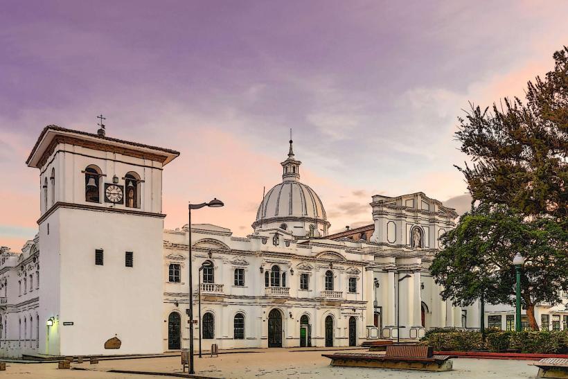
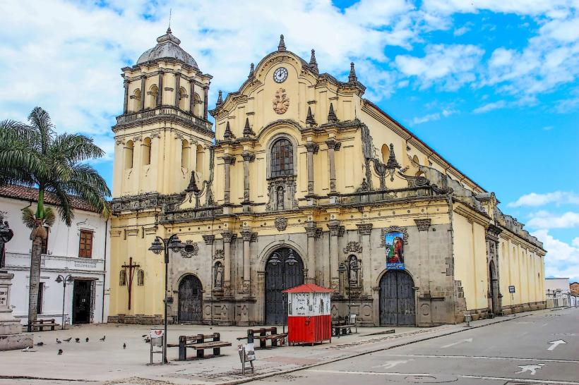
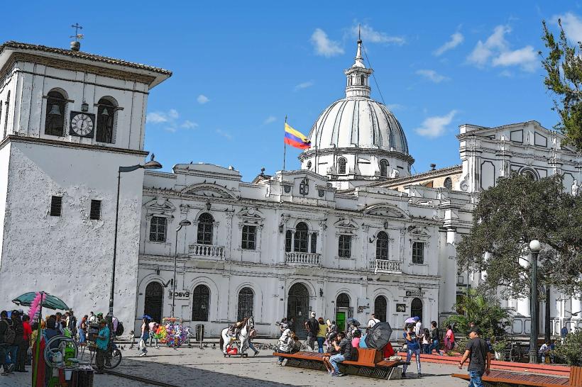
- Popayán Cathedral (45km North)
- San Agustín Archaeological Park (approx. 70km Southwest)
- Tierradentro Archaeological Park (approx. 90km West)
- Parque Natural Regional Los Churumbelos (approx. 100km East)