Information
Landmark: Cerro Juana LaínezCity: Tegucigalpa
Country: Honduras
Continent: North America
Cerro Juana Laínez, Tegucigalpa, Honduras, North America
Cerro Juana Laínez is a prominent hill located within the urban area of Tegucigalpa, Honduras. It serves as a significant natural landmark offering panoramic views of the surrounding city and valleys.
Visual Characteristics
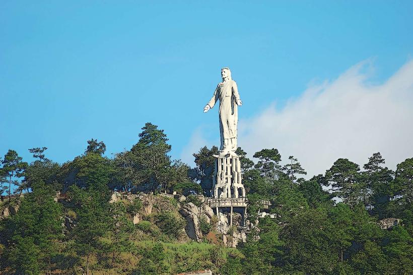
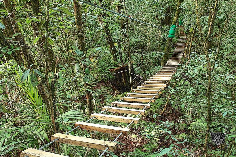
The hill is characterized by its steep slopes covered in dense, dry tropical vegetation. The dominant rock type is sedimentary, with exposed areas of soil and gravel. At its summit, a large concrete cross, approximately 10 meters in height, is a visible marker. The vegetation consists primarily of scrub brush, grasses, and scattered trees, with limited shade available on the ascent.
Location & Access Logistics
Cerro Juana Laínez is situated approximately 3 kilometers east of Tegucigalpa's central district. Access is primarily via the CA-5 highway, turning onto Avenida La Paz. The final approach involves a steep, unpaved road leading to a small, informal parking area at the base of the hill. Public transportation options are limited; local buses serving the eastern neighborhoods may drop passengers near the base, requiring a walk of approximately 1 kilometer. The ascent is a moderate hike, taking approximately 30-45 minutes on foot.
Historical & Ecological Origin
The hill's geological formation is part of the Tegucigalpa basin, characterized by sedimentary rock deposits. Historically, it has served as a natural boundary and vantage point for the city. The concrete cross was erected in the mid-20th century as a religious monument.
Key Highlights & Activities
The primary activity is hiking to the summit for city observation. Photography of Tegucigalpa and the surrounding Valle de la Cruz is a key draw. The cross at the summit is a focal point for visitors.
Infrastructure & Amenities
There are no formal amenities on Cerro Juana Laínez. Restrooms are not available. Shade is minimal, primarily found under scattered trees. Cell phone signal (4G/5G) is generally available at the summit. No food vendors are present on the hill itself; options are available in the surrounding neighborhoods.
Best Time to Visit
The best time of day for photography is late afternoon, approximately 1-2 hours before sunset, for optimal lighting conditions. The driest months, from December to April, offer the most favorable weather for hiking. Avoid visiting during the rainy season (May to November) due to potential slippery conditions and reduced visibility.
Facts & Legends
A local legend suggests that the hill was named after a woman named Juana who used it as a lookout point during colonial times. More concretely, the hill's elevation provides a clear line of sight to the historic center of Tegucigalpa, making it a strategic location throughout the city's development.
Nearby Landmarks
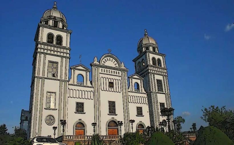
- Basílica de Suyapa (2.5km Southeast)
- Parque La Leona (3.0km West)
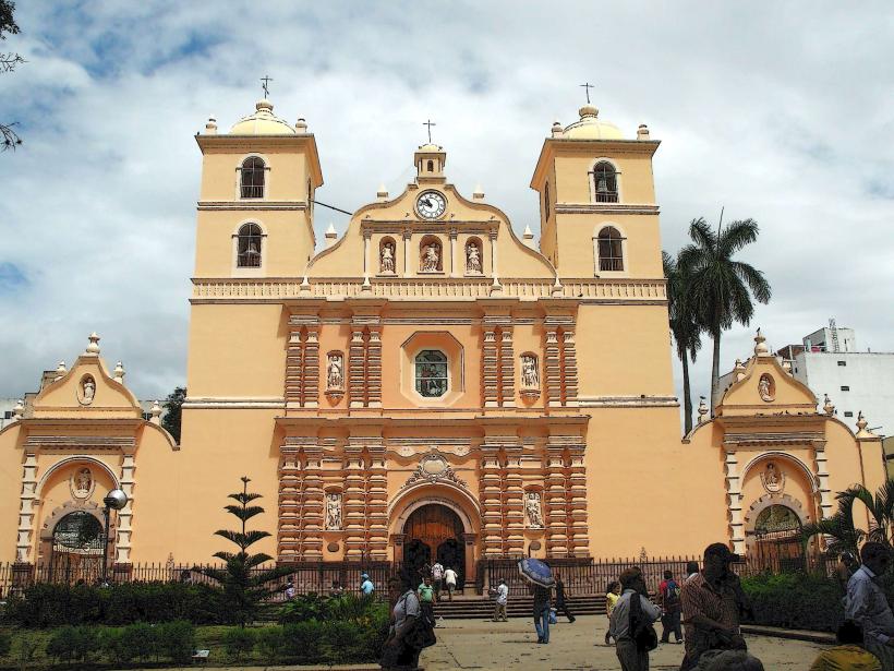
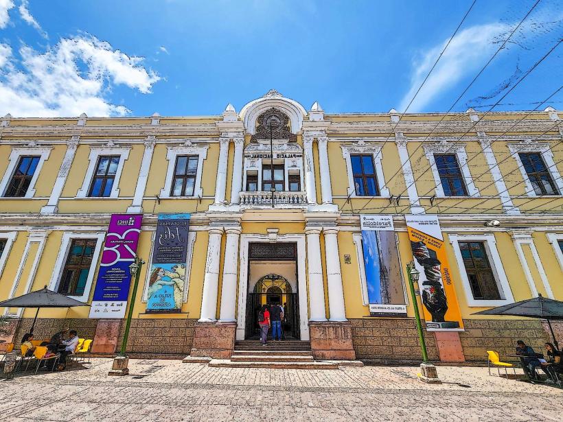
- Museo Nacional de Antropología e Historia (3.5km West)
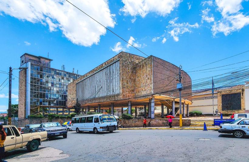
- Centro Cívico Gubernamental (4.0km West)