Information
City: TegucigalpaCountry: Honduras
Continent: North America
Tegucigalpa, Honduras, North America
Tegucigalpa is the capital of Honduras and serves as the country's primary political and administrative center. It is situated in a valley in the southern-central highlands, surrounded by the pine-covered mountains of the Sierra de Lepaterique.
Historical Timeline
The city was founded on September 29, 1578, as a Spanish mining settlement named Real de Minas de San Miguel de Tegucigalpa. It underwent a colonial era focused on silver extraction and was later designated the permanent national capital in 1880, replacing Comayagua. Significant architectural reconstruction followed the devastation of Hurricane Mitch in 1998, which is the primary event that forced the modernization of its drainage and bridge infrastructure.
Demographics & Population
The total population within the Central District (Tegucigalpa and Comayagüela) is approximately 1.3 million, while the metropolitan area exceeds 1.6 million. The top three demographics are Mestizo (90%), Amerindian (7%), and Afro-Honduran (2%). The median age of the population is 24.2 years.
Urban Layout & Key Districts
The city is divided by the Choluteca River into two distinct halves: Tegucigalpa (east) and Comayagüela (west). The Colonial Center is located in the east, characterized by narrow, irregular streets. For visitors, Colonia Palmira (East) is the primary upscale district for dining and diplomacy, while the Boulevard Juan Pablo II area (South) contains the most modern commercial developments and shopping complexes.
Top City Landmarks
Basílica de Nuestra Señora de Suyapa
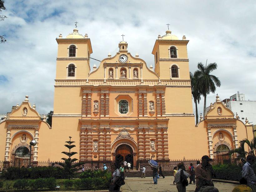
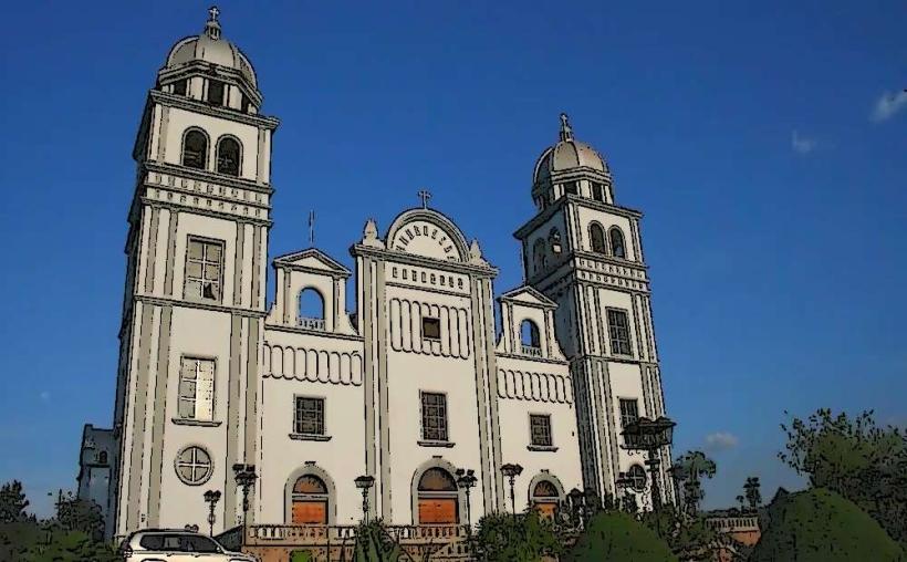
Cathedral of San Miguel Arcángel
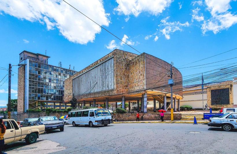
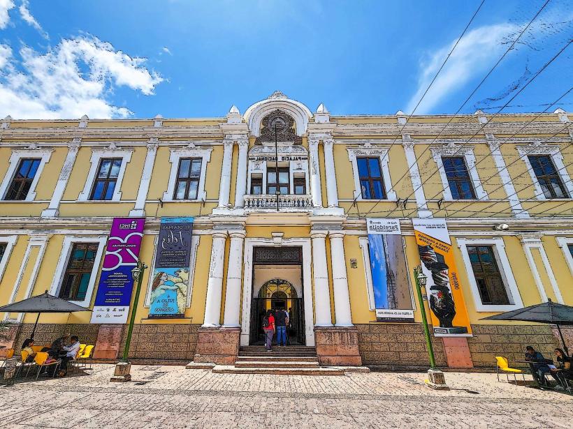
Museo para la Identidad Nacional (MIN)
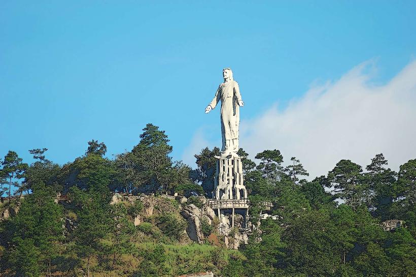
Cristo del Picacho (Monumento al Cristo Resucitado)
Iglesia de San Francisco
Transportation Network
Internal movement relies on a network of private minibuses (rapiditos) and route taxis. There are no metro or tram systems. Ride-sharing is dominated by Uber and InDrive. Official taxis are white and must display a registration number on the door. Traffic density is extreme, particularly on the Anillo Periférico (Periphery Ring Road) and Boulevard Morazán during peak hours.
Safety & "Red Zones"
The general safety level is low. Explicit "red zones" to avoid include most of Comayagüela, Colonia Kennedy, and El Pedregal. Visitors are advised to avoid walking at night, even in "safe" districts like Palmira. Common scams include "express kidnappings" at unauthorized taxi stands and fraudulent ATM assistance.
Digital & Financial Infrastructure
Average internet speed is 45 Mbps. Main mobile carriers are Tigo and Claro. Card acceptance is high in malls, hotels, and upscale restaurants, but cash (Lempira) is required for markets and public transport. ATMs are widely available in shopping centers and at "Multiplaza" but should be avoided on street corners after dark.
Climate & Air Quality
Seasonal temperatures range from 15°C to 30°C. The dry season (November–April) is characterized by high levels of smog and smoke due to slash-and-burn agriculture. The rainy season (May–October) brings a high risk of landslides and localized flooding due to the city's steep topography.
Culture & Social Norms
Tipping of 10% is standard in restaurants and is often included in the bill as "propina sugerida." Standard greetings involve a handshake; women often greet with a single kiss on the cheek. Dress codes are conservative for business and religious sites. Public smoking is generally restricted in indoor commercial spaces.
Accommodation Zones
Colonia Palmira: Stay here for walking access to major embassies, upscale dining, and nightlife.
Lomas del Guijarro: Stay here for a quiet, high-security residential environment with panoramic city views.
Local Cost Index
1 Espresso: L45.00 ($1.80)
1 Standard Lunch (Plato Típico): L150.00 ($6.00)
1 Taxi Trip (Collective): L20.00 ($0.80)
Nearby Day Trips
Valle de Ángeles: 22 km (40 mins)
Santa Lucía: 13 km (25 mins)
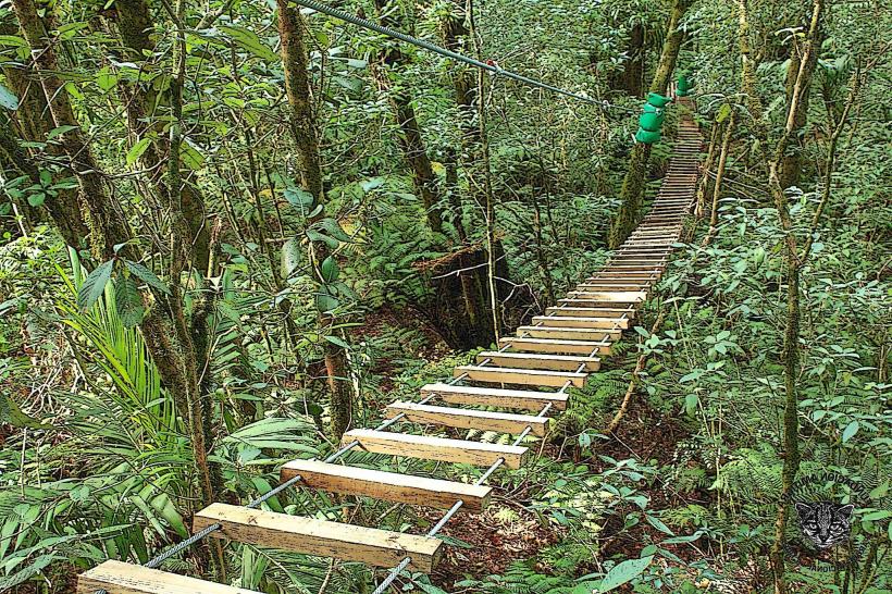
La Tigra National Park: 20 km (45 mins)
Comayagua: 85 km (90 mins)
Facts & Legends
A popular local myth explains the relocation of the Honduran capital from Comayagua to Tegucigalpa in 1880. Legend holds that President Marco Aurelio Soto moved the seat of government because the high society of Comayagua socially snubbed his wife, who was reportedly of humble origins or simply disliked by the local elite. While historically debated, the "revenge of the First Lady" remains the city's most cited urban legend regarding its political prominence.