Information
Landmark: Chamarel WaterfallCity: Chamarel
Country: Mauritius
Continent: Africa
Chamarel Waterfall, Chamarel, Mauritius, Africa
Chamarel Waterfall
Chamarel Waterfall is the highest single-drop waterfall in Mauritius, plunging approximately 100 meters (272 ft) into a lush volcanic basin. It is located within the private Chamarel Seven Coloured Earth Geopark in the southwest of the island.
Visual Characteristics
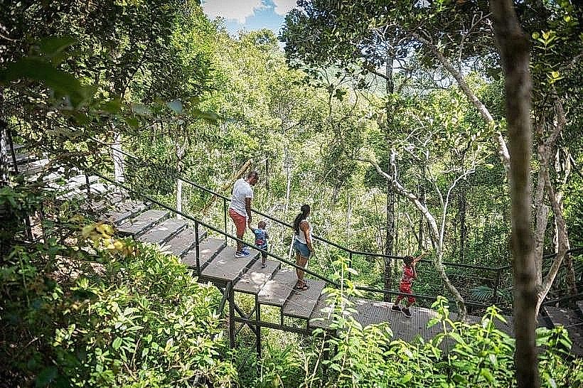
The waterfall is formed by the St. Denis River and is characterized by its dramatic vertical drop over a basalt cliff. The surrounding landscape consists of dense, primary tropical forest and ancient volcanic rock formations. The falls can be viewed from two distinct levels: an upper observation deck providing a panoramic view of the drop and the gorge, and a lower trail leading closer to the base.
Location & Access Logistics
Address: H94P+P86, Chamarel, Mauritius.
Access: Entry is via the main gate of the Seven Coloured Earth Geopark. A single entrance ticket covers both the waterfall and the Seven Coloured Earth.
Transport: Best reached by private vehicle or taxi. The climb to Chamarel involves steep, winding roads. Most organized "South Tours" include this site as a primary stop.
Parking: Dedicated parking areas are available near the observation decks.
Geological Origin
The waterfall flows over basalt layers dating back millions of years. The geology of the area is defined by two different ages of lava flows: the Breuil series (intermediate) and the Chamarel series (late), which created the sharp escarpment over which the water cascades.
Key Highlights & Activities
Observation Decks: Two primary viewpoints offering different perspectives of the falls and the verdant canyon.
Photography: One of the most iconic landscape photography spots in Mauritius, particularly impressive after heavy rainfall when the water volume increases.
Hiking: A trail allows for a more immersive experience into the gorge toward the base of the falls.
Wildlife: The surrounding forest is a habitat for the Mauritian fruit bat and various endemic bird species.
Infrastructure & Amenities
Hours: Daily from 08:30 to 17:00.
Facilities: Restrooms and a coffee shop/souvenir store are located within the Geopark near the Seven Coloured Earth section (a short drive from the waterfall viewpoint).
Connectivity: 4G coverage is generally available but can be intermittent in the deep gorge areas.
Best Time to Visit
The waterfall is most spectacular during the summer months (December to April) following rain, which ensures a powerful flow. Arriving early (before 10:00 AM) is recommended to avoid large tour groups and to benefit from the best lighting for photography.
Nearby Landmarks
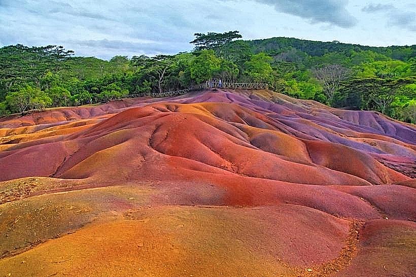
Seven Coloured Earth: 1.5 km West (within the same park)
Chamarel Ebony Forest: 2.0 km West
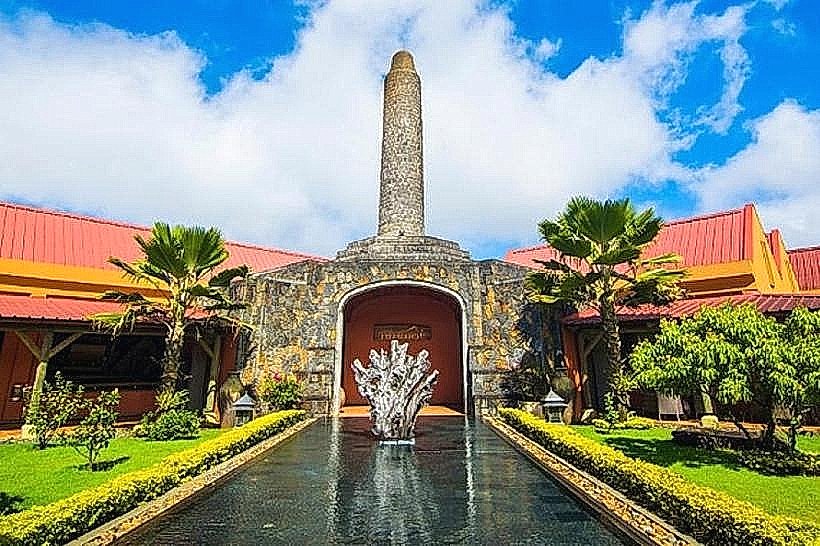
Rhumerie de Chamarel: 3.0 km North
Black River Gorges Viewpoint: 5.5 km East
Le Morne Brabant: 12.0 km West