Information
Landmark: Chamberlain BridgeCity: Bridgetown
Country: Barbados
Continent: North America
Chamberlain Bridge, Bridgetown, Barbados, North America
The Chamberlain Bridge is a historic swing bridge located in Bridgetown, Barbados. It spans the Constitution River, connecting the commercial district with the historic Garrison area.
Visual Characteristics
The bridge is constructed primarily of steel with a concrete deck. It features a central pivot mechanism that allows it to swing open for marine traffic. The structure is painted a dark green, with red accents on the railings and operational components. Its length is approximately 45 meters.
Location & Access Logistics
The Chamberlain Bridge is situated in the heart of Bridgetown, directly accessible from the A3 highway. It is approximately 0.5 kilometers south of the central business district. On-street parking is limited in the immediate vicinity; the nearest public parking facility is the Cheapside Market Car Park, located 0.3 kilometers north. Public bus routes 1, 2, and 3 stop within a 0.2-kilometer radius of the bridge.
Historical & Ecological Origin
The original bridge was constructed in 1874 by the West India & Panama Telegraph Company to facilitate the landing of telegraph cables. The current swing bridge structure was erected in 1900. Its purpose was to allow larger vessels to access the inner Bridgetown harbour.
Key Highlights & Activities
Observation of the bridge's operation when it swings open for boat passage. Walking across the bridge provides views of the Constitution River and Bridgetown's waterfront. Photography of the bridge and surrounding architecture is a common activity.
Infrastructure & Amenities
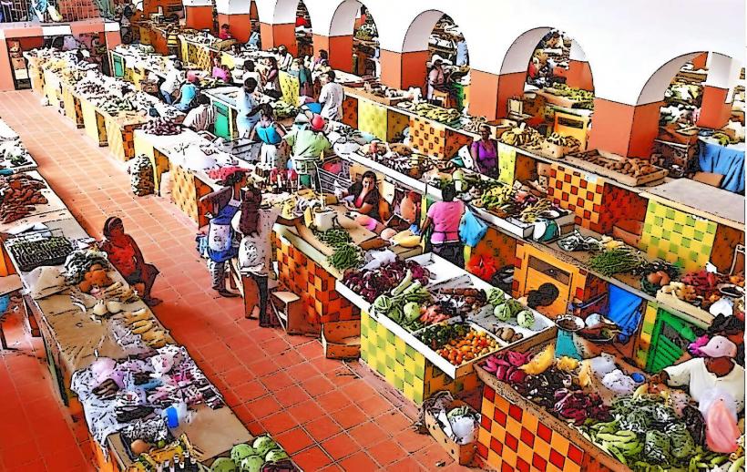
Pedestrian walkways are present on both sides of the bridge. There are no dedicated restroom facilities directly on the bridge. Shade is minimal. Cell phone signal (4G/5G) is generally strong in this urban area. Food vendors are typically found along the nearby waterfront and in the Cheapside Market area.
Best Time to Visit
For photography, early morning (07:00-09:00) offers favorable lighting conditions with fewer crowds. The bridge's swing operation is scheduled based on marine traffic, typically occurring once or twice daily; checking local schedules is advised. Weather is generally consistent year-round, but the period from December to May is considered the dry season.
Facts & Legends
The bridge was named after Sir Charles John Chamberlain, who was the Governor of Barbados from 1880 to 1884. A local anecdote suggests that the bridge's mechanism was once jammed by a large ship, causing significant disruption to city traffic for several hours.
Nearby Landmarks
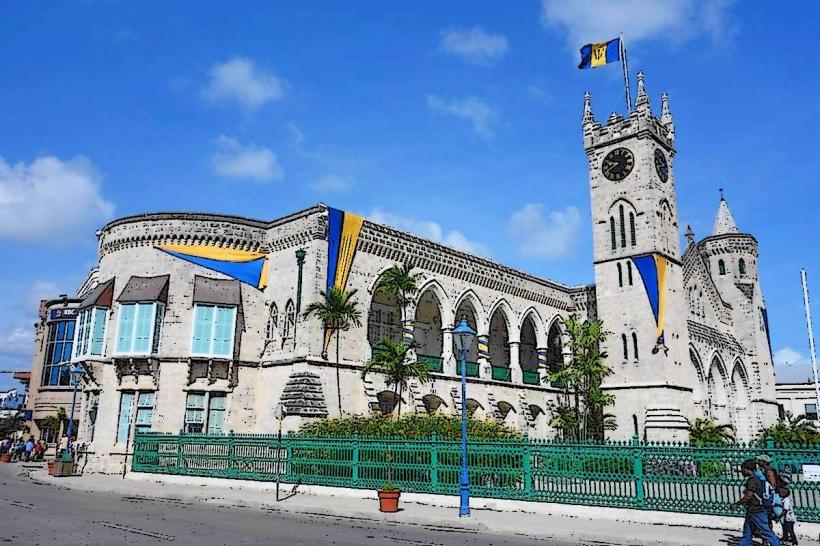
- Parliament Buildings (0.3km North)
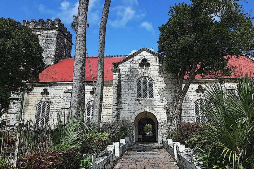
- St. Michael's Cathedral (0.4km Northwest)
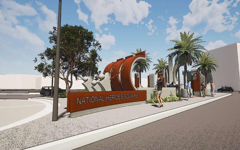
- National Heroes Square (0.2km North)
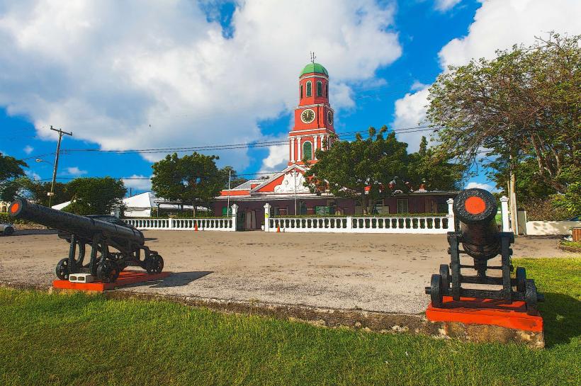
- Bridgetown Garrison (1.5km South)
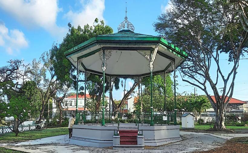
- Queen's Park (0.6km Northeast)