Information
Landmark: Chetumal BayCity: Corozal
Country: Belize
Continent: North America
Chetumal Bay, Corozal, Belize, North America
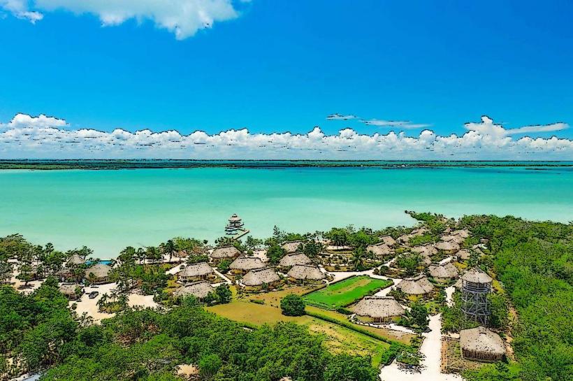
Chetumal Bay is a large coastal body of water located in northern Belize, bordering Mexico. It is characterized by its shallow, brackish waters and extensive mangrove systems.
Visual Characteristics
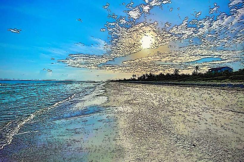
The bay's water color ranges from light green to brown, influenced by sediment and depth. Extensive mangrove forests, primarily red and black mangroves, line the coastline, forming dense, dark green barriers. The seabed is predominantly mud and sand. The bay is generally flat with minimal visible elevation changes along its shores.
Location & Access Logistics
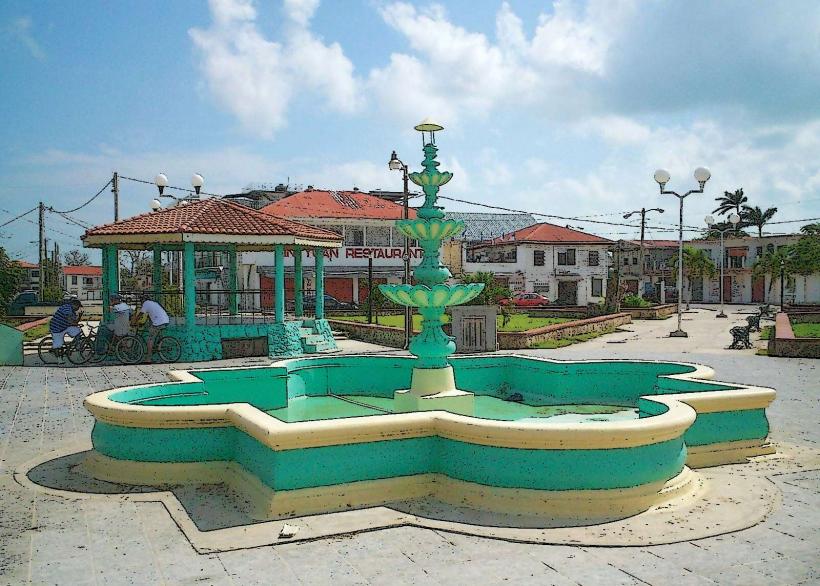
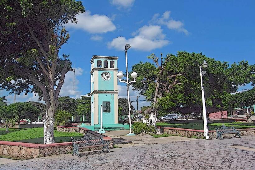
Chetumal Bay is situated north of Corozal Town. Access is primarily via the coastal road (Northern Highway) which runs along its western edge. Corozal Town is approximately 135 km north of Belize City. Parking is available in Corozal Town and at various points along the coastal road. Public transportation includes buses from Belize City to Corozal Town. Local boat operators offer tours within the bay from Corozal Town's municipal pier.
Historical & Ecological Origin
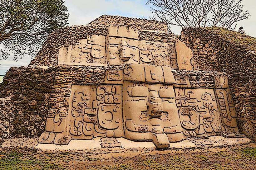
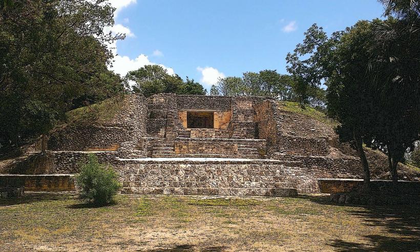
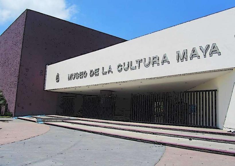
Chetumal Bay is a natural estuarine system formed by the confluence of freshwater rivers and the Caribbean Sea. Its ecological significance lies in its role as a nursery ground for various fish species and a habitat for manatees and migratory birds. Historically, the area was utilized by the Maya civilization for trade and settlement.
Key Highlights & Activities
Activities include birdwatching, particularly for waders and waterfowl. Kayaking and paddleboarding are possible in calmer sections of the bay. Fishing charters operate in designated areas. Boat tours focus on mangrove exploration and wildlife observation, including potential manatee sightings.
Infrastructure & Amenities
Basic amenities are available in Corozal Town, including restaurants and small shops. Limited shade is present along undeveloped shorelines. Cell phone signal (4G) is generally available in Corozal Town and along the Northern Highway. Restrooms are primarily located in Corozal Town.
Best Time to Visit
The dry season, from December to May, offers the most favorable weather conditions with less rainfall. Early morning and late afternoon provide optimal lighting for photography. High tide is generally preferred for boat access into shallower mangrove channels.
Facts & Legends
Local folklore suggests that the bay is home to ancient Maya spirits who protect its waters. A specific tip for visitors is to hire local guides who possess intimate knowledge of the bay's channels and wildlife habitats, increasing the likelihood of spotting manatees.
Nearby Landmarks
- Corozal Town (0.5km West)
- Cerros Maya Ruins (15km Northwest)
- Bacalar Chico National Park and Marine Reserve (30km Northeast)
- Ambergris Caye (40km East)
- San Pedro Town (40km East)