Information
Landmark: Santa Rita Archaeological SiteCity: Corozal
Country: Belize
Continent: North America
Santa Rita Archaeological Site, Corozal, Belize, North America
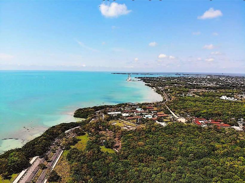
The Santa Rita Archaeological Site is a pre-Columbian Maya ruin located on the northern outskirts of Corozal Town, Belize.
This site contains remnants of a significant Maya settlement that flourished for centuries.
Visual Characteristics
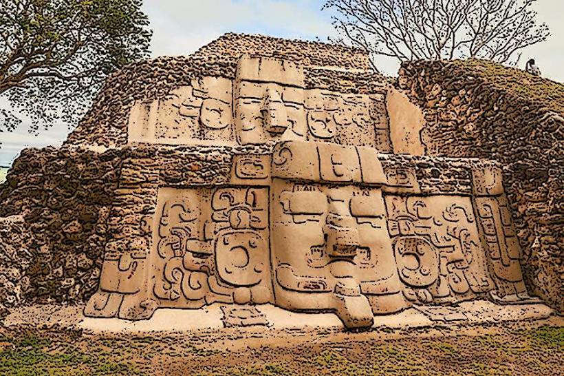
The site consists of several earthen mounds and plazas, with the most prominent structure being a large pyramid-like mound. The mounds are primarily composed of earth and stone, covered in vegetation. The primary color palette is earth tones with green foliage.
Location & Access Logistics
Santa Rita is situated approximately 1.5 kilometers north of Corozal Town center. Access is via Consejo Road. There is a small, unpaved parking area adjacent to the site entrance. Public transport options are limited; local taxis from Corozal Town are the most direct method of arrival.
Historical & Ecological Origin
Santa Rita was occupied from the Late Preclassic period (c. 300 BCE) through the Postclassic period (c. 1500 CE). It served as a significant Maya ceremonial and administrative center, and later as a trading post. The site is built on a low-lying coastal plain.
Key Highlights & Activities
Exploration of the main plaza and the central mound is possible. Visitors can observe the architectural layout of the ancient settlement. No specific guided tours are regularly scheduled, but local guides may be available upon request.
Infrastructure & Amenities
Basic amenities are minimal. There are no restrooms or designated shade structures within the immediate site. Cell phone signal (4G/5G) is generally available in Corozal Town but can be intermittent at the site itself. Food vendors are not present at the archaeological site; options are available in Corozal Town.
Best Time to Visit
The best time for photography is during the early morning or late afternoon when the sun angle provides more defined shadows on the mounds. The dry season, from November to May, offers the most comfortable weather conditions. There are no tidal considerations for visiting this inland site.
Facts & Legends
Local lore suggests that Santa Rita was the site of a significant battle during the Maya collapse, with some accounts mentioning the presence of Spanish conquistadors. Archaeological evidence indicates extensive destruction and burning at the site, supporting theories of conflict.
Nearby Landmarks
- Chetumal Bay (0.8km Southeast)
- Corozal Town Market (1.2km Southwest)
- Fort Barlee (1.8km West)
- Cerro Maya Archaeological Site (15km Southwest)