Information
Landmark: Clarksville Covered BridgeCity: Littleton
Country: USA New Hampshire
Continent: North America
Clarksville Covered Bridge, Littleton, USA New Hampshire, North America
The Clarksville Covered Bridge is a historic wooden covered bridge located in Littleton, New Hampshire, USA.
It spans the Connecticut River, connecting Littleton, New Hampshire, with Concord, Vermont.
Visual Characteristics
The bridge is a Town lattice truss design, constructed primarily of wood. It measures approximately 170 feet in length. The exterior is clad in weathered wooden planks, exhibiting a natural, unpainted finish. The roof is also wooden, designed to protect the structural timbers from precipitation.
Location & Access Logistics
The bridge is situated approximately 8 miles northwest of downtown Littleton, New Hampshire. Access is via River Road (NH-135) from Littleton. Turn onto Covered Bridge Road. Parking is available on the New Hampshire side of the river at a small gravel lot adjacent to the bridge entrance. Public transport is not available to the bridge site.
Historical & Ecological Origin
The Clarksville Covered Bridge was constructed in 1871. It was built by the Concord, VT and Littleton, NH Bridge Company. Its original purpose was to facilitate the transport of goods and people across the Connecticut River, connecting the agricultural communities of both states.
Key Highlights & Activities
Pedestrian access is permitted for viewing the bridge's structure. Photography of the bridge and the surrounding river landscape is a primary activity. Limited fishing is possible from the riverbanks near the bridge.
Infrastructure & Amenities
Restrooms are not available at the bridge site. There is no designated shade structure. Cell phone signal (4G/5G) is generally weak to non-existent at the bridge location. No food vendors are present at the bridge; nearest services are in Littleton.
Best Time to Visit
For photography, early morning or late afternoon light provides optimal illumination of the bridge's wooden structure. The months of May through October offer the most pleasant weather conditions for visiting. No tide considerations are applicable.
Facts & Legends
A local anecdote suggests that the bridge was intentionally built slightly longer than the river's width to account for potential future erosion, though this is unverified. The bridge is one of the few remaining covered bridges in New Hampshire that still carries vehicular traffic, albeit limited.
Nearby Landmarks
- Fort at Number 4 (Charlestown, NH) - 25km Southwest
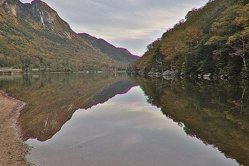
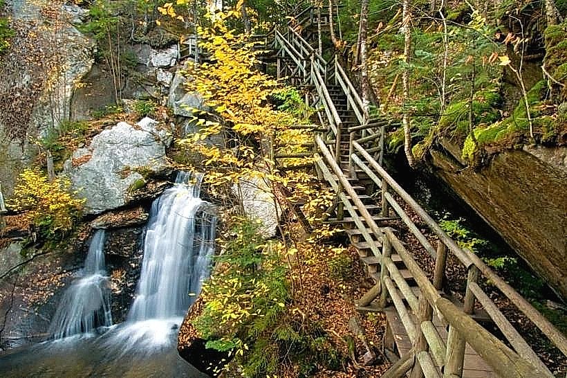
- Franconia Notch State Park (North Woodstock, NH) - 35km Southeast
- Echo Lake State Park (North Conway, NH) - 60km East
- Mount Washington State Park (Gorham, NH) - 50km East