Information
Landmark: Lost River Gorge & Boulder CavesCity: Littleton
Country: USA New Hampshire
Continent: North America
Lost River Gorge & Boulder Caves, Littleton, USA New Hampshire, North America
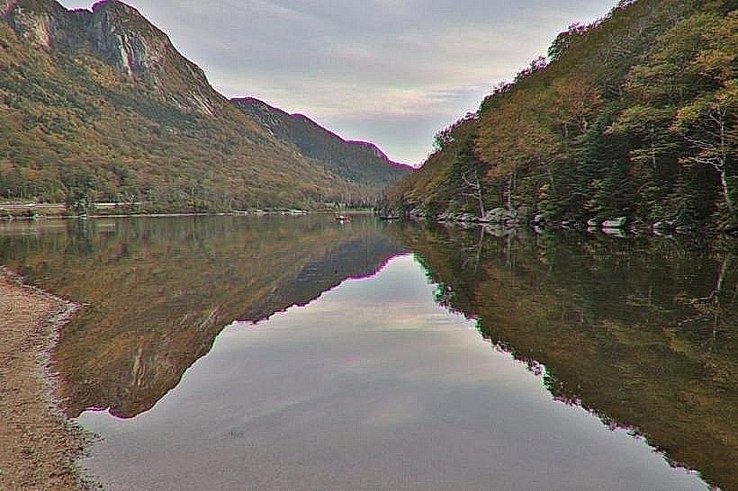
Lost River Gorge & Boulder Caves is a geological feature located in North Woodstock, New Hampshire, accessible from Littleton.
Visual Characteristics
The gorge features a narrow chasm carved into granite bedrock, with a river flowing through its base. Large glacial boulders are interspersed throughout the gorge, some forming natural cave-like structures. The surrounding vegetation consists of mixed deciduous and coniferous forest.
Location & Access Logistics
The entrance to Lost River Gorge is located off Route 112 (Kancamagus Highway) in North Woodstock, NH. It is approximately 45 miles southeast of Littleton, NH. Parking is available at the Lost River Gorge Welcome Center. Public transport options are not available directly to the gorge; private vehicle or taxi service is required.
Historical & Ecological Origin
The gorge was formed by glacial meltwater erosion over thousands of years, carving through the ancient granite. The large boulders are remnants of glacial deposition. The area is part of the White Mountain National Forest, a region shaped by glacial activity.
Key Highlights & Activities
Visitors can traverse the gorge via a network of wooden boardwalks and stairs. Exploration of the boulder caves is a primary activity. Guided tours are available seasonally. Hiking trails extend from the gorge area into the surrounding forest.
Infrastructure & Amenities
Restrooms are available at the Welcome Center. Limited shaded areas exist within the gorge. Cell phone signal is intermittent to non-existent within the gorge itself. Food vendors are not present at the gorge entrance; visitors should plan to bring their own provisions or dine in North Woodstock.
Best Time to Visit
The gorge is typically open from late May to mid-October. The best time of day for photography is mid-morning or late afternoon to avoid direct overhead sunlight. Weather is generally mild during summer months; spring and fall offer cooler temperatures. No tide considerations apply.
Facts & Legends
Local folklore suggests the "Lost River" is named for a Native American legend about a spirit that guarded the area. Geologically, the river is a tributary of the Pemigewasset River and its flow can vary significantly with rainfall. A specific tip for visitors is to wear sturdy, closed-toe shoes as the boardwalks can be slippery when wet.
Nearby Landmarks
- White Mountain National Forest (0.1km North)
- Flume Gorge (25km Southeast)
- Franconia Notch State Park (28km Northwest)
- Cannon Mountain (30km Northwest)
- Mount Washington (55km East)