Information
Landmark: Cliffs of MoherCity: Clare
Country: Ireland
Continent: Europe
Cliffs of Moher, Clare, Ireland, Europe
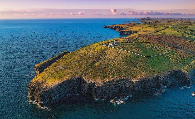
The Cliffs of Moher are vertical sea cliffs stretching for 14km along the Atlantic coast of County Clare. They are a primary feature of The Burren and Cliffs of Moher UNESCO Global Geopark.
Visual Characteristics
The cliffs rise from the Atlantic Ocean to a maximum height of 214 meters (702 feet) at their highest point north of O'Brien's Tower.
Geology: Composed of alternating layers of Namurian shale, siltstone, and sandstone. The visible horizontal strata represent 320 million years of geological history.
Topography: The face of the cliffs is sheer, characterized by ledges that host the largest mainland seabird colony in Ireland.
Sea Stacks: An Branan Mór is a 67-meter-high sea stack located directly below O'Brien's Tower.
Location & Access Logistics
Address: Liscannor, Co. Clare, Ireland.
Position: Situated on the R478 coastal road.
Transit: Accessible via private vehicle, tour bus from major cities (Galway, Limerick, Dublin), or the Bus Éireann Route 350.
Parking: A large designated car park is located across the road from the Visitor Centre. Entry fees typically include parking and access to the visitor experience.
Accessibility: The main viewing areas near the Visitor Centre are paved and wheelchair accessible. The remote coastal paths are narrow, gravelled, and have steep gradients.
Key Highlights
O'Brien's Tower: A round stone tower built in 1835 by Cornelius O'Brien as an observation point for Victorian tourists.
The Visitor Experience: A subterranean facility built into the hillside to minimize visual impact on the landscape. It contains geological and biological exhibits.
Seabirds: Between March and July, the cliffs house over 30,000 pairs of birds, including Atlantic Puffins, Razorbills, Common Guillemots, and Kittiwakes.
Infrastructure & Amenities
Safety: The official site features waist-high stone barriers. Beyond the official boundaries, the "Coastal Walk" has no barriers and is subject to unstable edges and high wind gusts.
Sanitation: Public restrooms and baby-changing facilities are located inside the Visitor Centre.
Dining: Features a café and restaurant on the upper level of the visitor complex.
Connectivity: 4G signal is generally stable, though it can fluctuate near the cliff edges.
Technical Details
The cliffs were formed as part of an ancient river delta. The constant erosion from the Atlantic (hydraulic action and abrasion) causes the cliffs to retreat at an average rate of several centimeters per year. The "Great Wall of Clare" refers to the traditional dry-stone walls made of Moher flagstone that line the local fields.
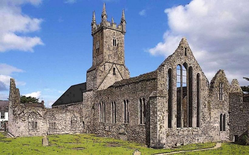
Nearby Landmarks
Hags Head – The southernmost point of the cliffs
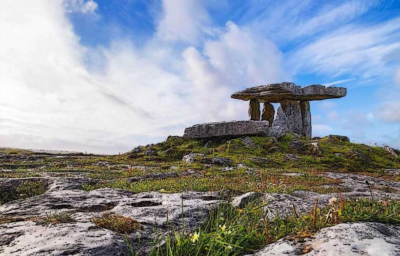
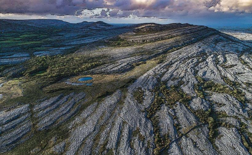
The Burren – 15km North
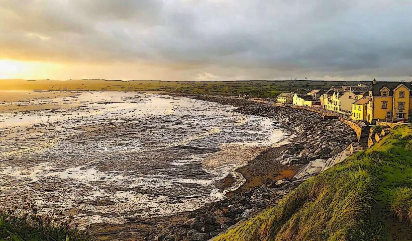
Doolin Village – 6km North (ferry point for Aran Islands)
Liscannor – 5km South