Information
Landmark: Comapedrosa Nature ParkCity: La Massana
Country: Andorra
Continent: Europe
Comapedrosa Nature Park, La Massana, Andorra, Europe
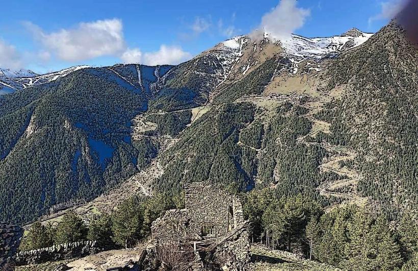
The Comapedrosa Highland Nature Park is a protected alpine area covering 15.42 square kilometers in the northwest of Andorra, within the La Massana parish. It encompasses the highest peaks in the country, including the Pic de Comapedrosa, and serves as a vital corridor for Pyrenean wildlife.
Visual Characteristics
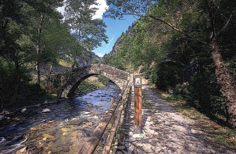
The park features a high-mountain landscape dominated by steep glacial valleys, granite and slate ridges, and numerous alpine lakes. Lower elevations contain forests of mountain pine and fir, while the upper reaches consist of alpine tundra, scree slopes, and rock faces. Water features include the Ribera de Comapedrosa river and several glacial tarns such as the Estany Negre, known for its dark, deep waters.
Location & Access Logistics
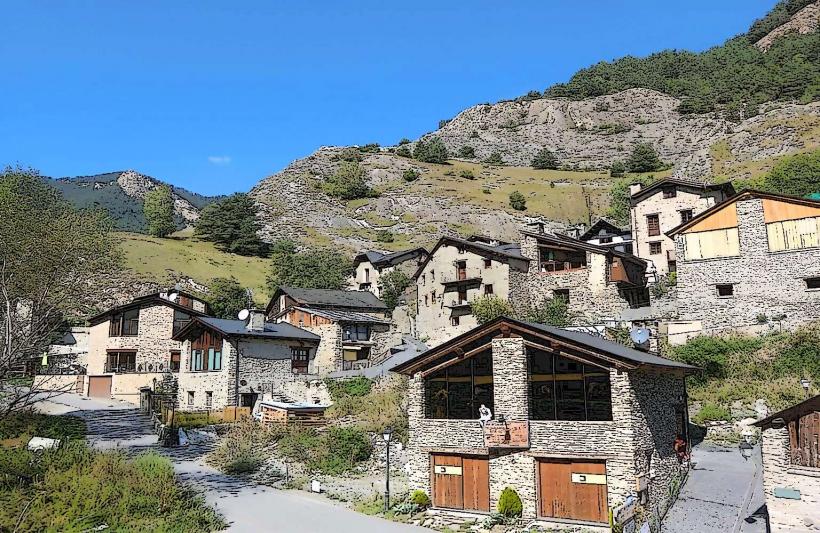
The primary entrance is located at the top of the Arinsal valley, approximately 6km from the center of La Massana via the CG-5 road. A large car park is available at the Arinsal ski resort base. Public transport is accessible via the L5 bus line from Andorra la Vella to Arinsal. From the trailhead at Prats de la Ribera, access is strictly pedestrian via a network of marked trails, including the GR-11.
Historical & Ecological Origin
The park was officially established in 2003 to protect the diverse ecosystems found within the Comapedrosa massif. Geologically, the area is part of the axial zone of the Pyrenees, shaped by glacial erosion that created characteristic U-shaped valleys and cirques. It is home to significant flora, including the Pyrenean violet, and fauna such as the chamois (isard), golden eagle, and the rare bearded vulture.
Key Highlights & Activities
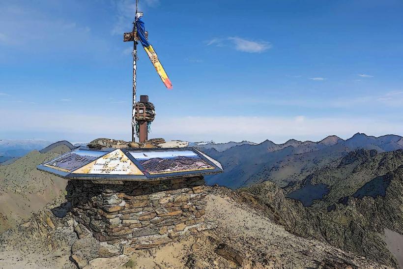
Trekking is the primary activity, with routes ranging from the interpretive "Circuit Interpretatiu de Comapedrosa" to the ascent of the 2,942m summit. The park is a major segment of the GR-11 and GRP long-distance trails. Other activities include bird watching, high-altitude fishing (with a license), and educational visits to the Comapedrosa Interpretation Center in Arinsal village.
Infrastructure & Amenities
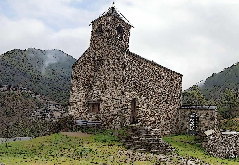
The Comapedrosa Refugi, a manned mountain hut at 2,265 meters, provides meals, bedding, and restrooms during the summer months. There are several unmanned emergency shelters, such as the Refugi de l'Angonella. At the park entrance in Arinsal, there is an interpretation center and information point. 4G cellular signal is available in most open areas but becomes weak in deep glacial basins.
Best Time to Visit
The peak season for hiking is from July to September when snow has melted from the high passes. Photography is optimal in June and July when alpine flowers are in bloom and the water levels in the tarns are highest. Winter visits require specialized equipment for ski mountaineering or snowshoeing due to significant avalanche risk and deep snow cover.
Facts & Legends
The park is home to the Pyrenean rock lizard (Iberolacerta bonnali), a species that survived the last ice age by adapting to extremely high altitudes and is found in only a few locations worldwide. Local lore suggests the Estany Negre (Black Lake) is home to ancient spirits, a myth likely born from the lake's exceptional depth and the dark reflections caused by the surrounding slate cliffs.
Nearby Landmarks
Pic de Comapedrosa – 1.8km Northwest
Estany Negre – 1.4km Northwest
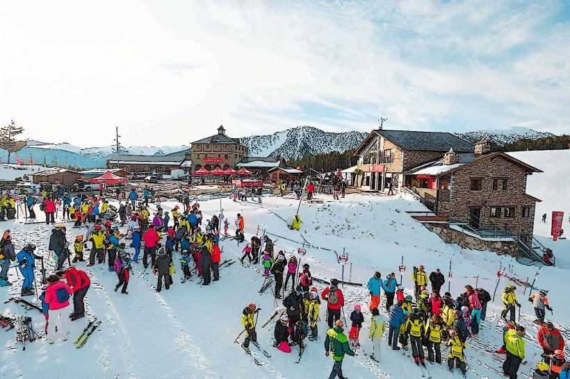
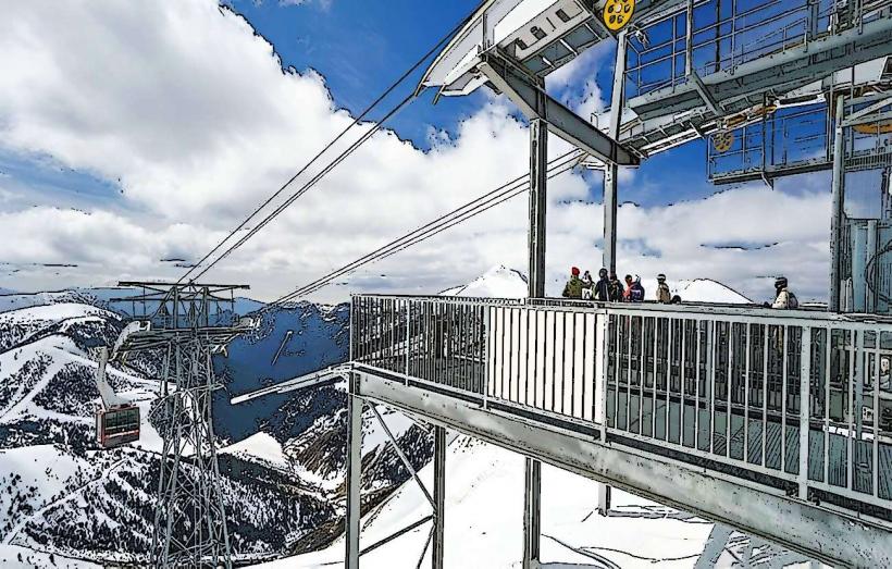
Arinsal Ski Resort – 1.2km East
Comapedrosa Refugi – 0.1km (within central sector)
Pic de Sanfonts – 2.5km West