Information
Landmark: Crique MaringouinsCity: Kourou
Country: French Guiana
Continent: South America
Crique Maringouins, Kourou, French Guiana, South America
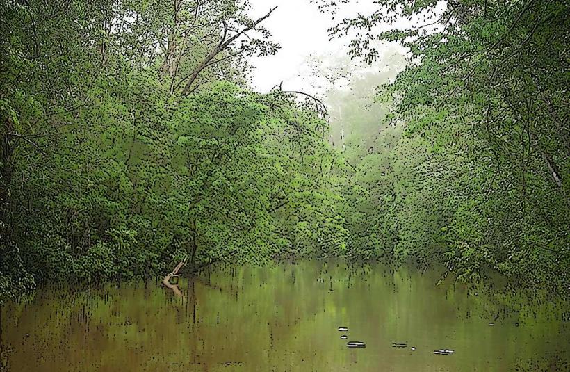
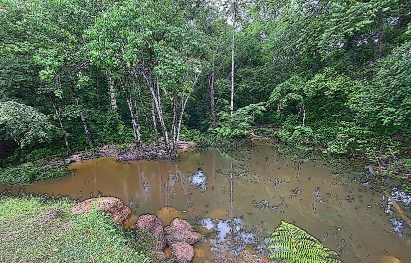
Crique Maringouins is a river located within the commune of Kourou in French Guiana.
This waterway is characterized by its dark, tannin-stained waters and dense surrounding rainforest.
Visual Characteristics
The river's water exhibits a dark brown to black coloration due to the presence of tannins leached from decaying vegetation. The banks are densely vegetated with tropical rainforest flora, including large trees, ferns, and vines. The riverbed is composed of sand and mud.
Location & Access Logistics
Crique Maringouins is situated approximately 15 kilometers southwest of the Kourou city center. Access is primarily via the Route Nationale 1 (RN1) towards Cayenne. Turn off RN1 onto the D12 towards the village of Macouria. Continue on the D12 for approximately 5 kilometers, then turn right onto a dirt track signposted for "Crique Maringouins." This track is approximately 2 kilometers long and may require a 4x4 vehicle, especially during the rainy season. Parking is available at the end of the track, adjacent to the river access point.
Historical & Ecological Origin
Crique Maringouins is a natural river system formed by the erosion and drainage of the Guiana Shield's lateritic soils. Its dark water is a characteristic feature of blackwater rivers in the Amazon basin, resulting from the decomposition of organic matter in the humid tropical climate. The surrounding ecosystem is a typical lowland tropical rainforest.
Key Highlights & Activities
Canoeing and kayaking are the primary activities on Crique Maringouins, allowing exploration of the river and its immediate surroundings. Birdwatching is possible due to the diverse avian population in the rainforest. Observing the unique flora of the tropical rainforest is also a key activity.
Infrastructure & Amenities
There are no formal infrastructure or amenities directly at Crique Maringouins. Restrooms, food vendors, and cell phone signal are not available at the river access point. Visitors should come prepared with all necessary supplies, including water and food. Shade is provided by the dense forest canopy.
Best Time to Visit
The best time of day for observing wildlife is early morning or late afternoon. The dry season, from July to December, offers more stable access conditions due to less rainfall. During the wet season (January to June), the dirt track can become impassable for standard vehicles.
Facts & Legends
The name "Maringouins" refers to a type of biting insect common in the region. Local folklore suggests that the dark color of the water is due to ancient medicinal properties, though scientifically it is attributed to tannins.
Nearby Landmarks
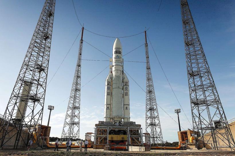
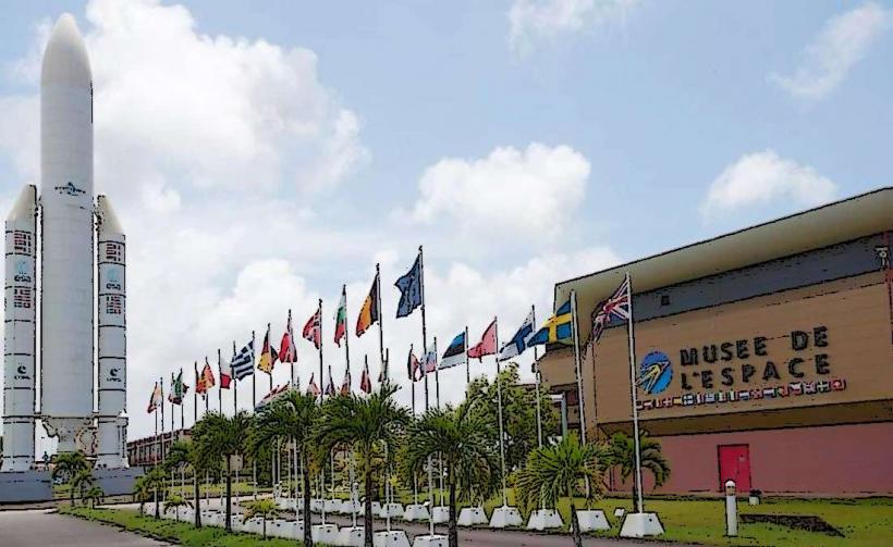
- Spaceport Kourou (Centre Spatial Guyanais) - 12km Northeast
- Îles du Salut (Salvation Islands) - 15km East (requires boat transfer from Kourou port)
- Kourou River - 10km East
- Montagne des Singes (Monkey Mountain) - 20km Southwest