Information
Landmark: Kourou RiverCity: Kourou
Country: French Guiana
Continent: South America
Kourou River, Kourou, French Guiana, South America
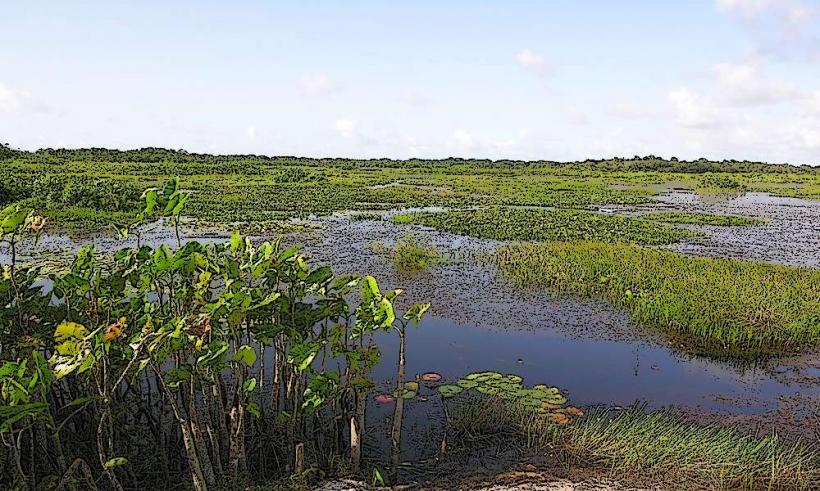
The Kourou River is a significant waterway located in the northern region of French Guiana, flowing through the municipality of Kourou.
Visual Characteristics
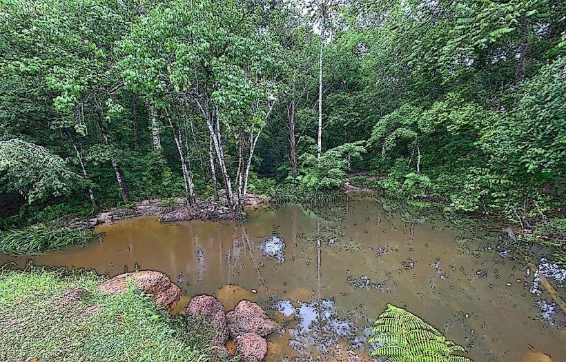
The river's water color varies from brown to reddish-brown due to sediment load, particularly after rainfall. Its banks are characterized by dense tropical rainforest vegetation, with emergent trees reaching considerable heights. The river width fluctuates, averaging approximately 100 meters in the Kourou area, with deeper channels and shallower sandbars.
Location & Access Logistics
The Kourou River is accessible from the town of Kourou. The main access point is via the Route Nationale 1 (RN1), which runs parallel to the coast and passes through Kourou. From the RN1, local roads such as Avenue de la République lead towards the riverfront. Parking is available in designated areas near the town center and along the riverbanks, though it can be limited during peak hours. Public transport within Kourou includes local bus services, with routes that may pass near river access points. Boat tours and private transfers are also options for accessing different sections of the river.
Historical & Ecological Origin
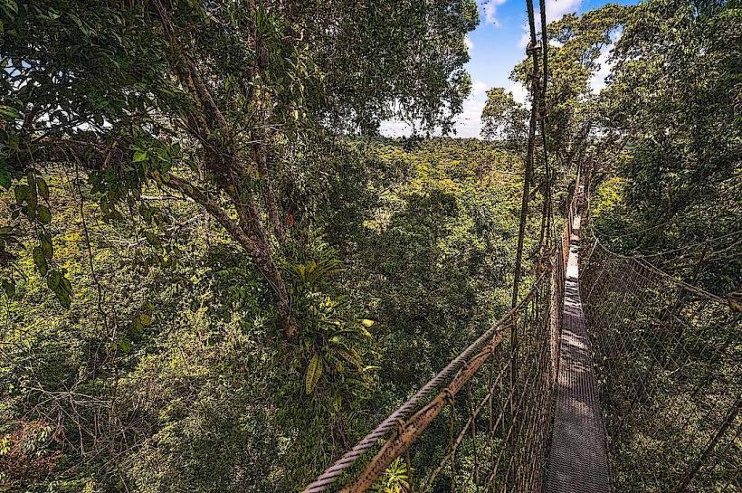
The Kourou River is a natural geological formation, part of the Guiana Shield's drainage system. Its ecological origin is tied to the Amazonian rainforest biome, supporting a diverse range of flora and fauna. Historically, the river served as a transportation route for indigenous populations and later for colonial exploration and resource extraction.
Key Highlights & Activities
Activities include boat excursions for wildlife observation, particularly bird species and riverine mammals. Fishing is permitted in designated areas. Kayaking and canoeing are possible on calmer stretches of the river. Guided nature walks along the riverbanks offer opportunities to observe the rainforest ecosystem.
Infrastructure & Amenities
Basic amenities such as restrooms are available at established public access points and tour operator bases. Shade is provided by the dense forest canopy along much of the river. Cell phone signal (4G/5G) can be intermittent, especially in more remote sections. Food vendors and small restaurants are located in the town of Kourou, near the primary river access points.
Best Time to Visit
The best time for wildlife viewing is during the dry season, typically from August to November, when water levels are lower and animals congregate near remaining water sources. For photography, early morning and late afternoon offer optimal lighting conditions, with softer shadows. High tide can affect accessibility to certain sandbars and shallow areas.
Facts & Legends
Local folklore speaks of river spirits that protect the Kourou River's ecosystem. A verified historical oddity is the river's role in the early development of the Kourou spaceport, with its waters used for cooling and transport during the initial construction phases.
Nearby Landmarks
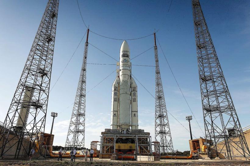
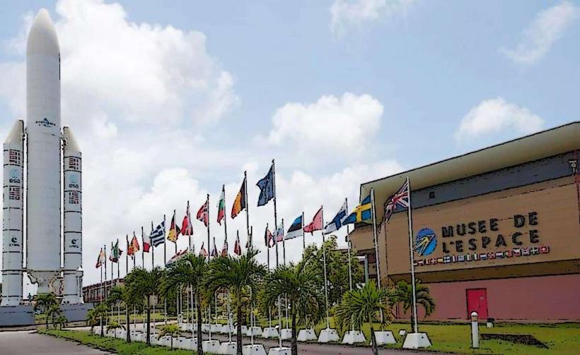
- Spaceport Kourou (0.8km West)
- Îles du Salut (5km Northeast)
- Montagne des Singes (3km Southwest)
- Pointe des Roches (2km Southeast)