Information
Landmark: Dans Gallas TrailCity: Mahe
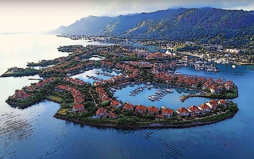
Country: Seychelles
Continent: Africa
Dans Gallas Trail, Mahe, Seychelles, Africa
The Dans Gallas Trail is a hiking path located on the island of Mahé in the Seychelles. It offers a route through the island's interior terrain.
Visual Characteristics
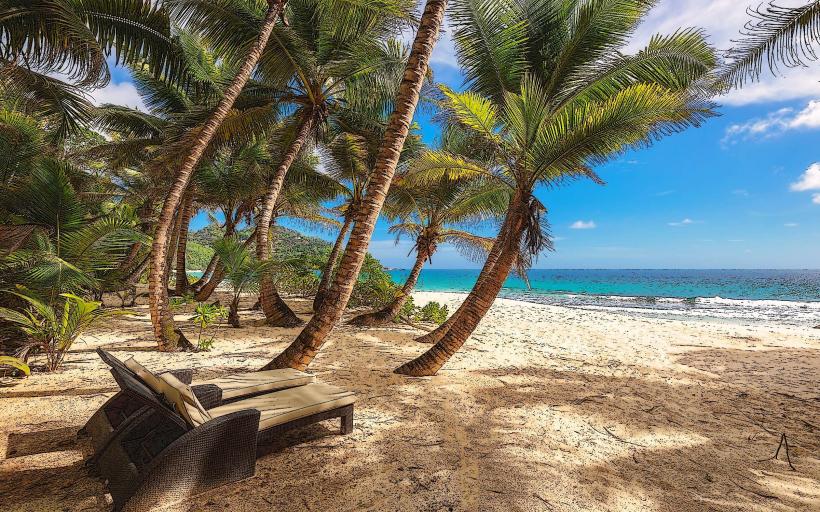
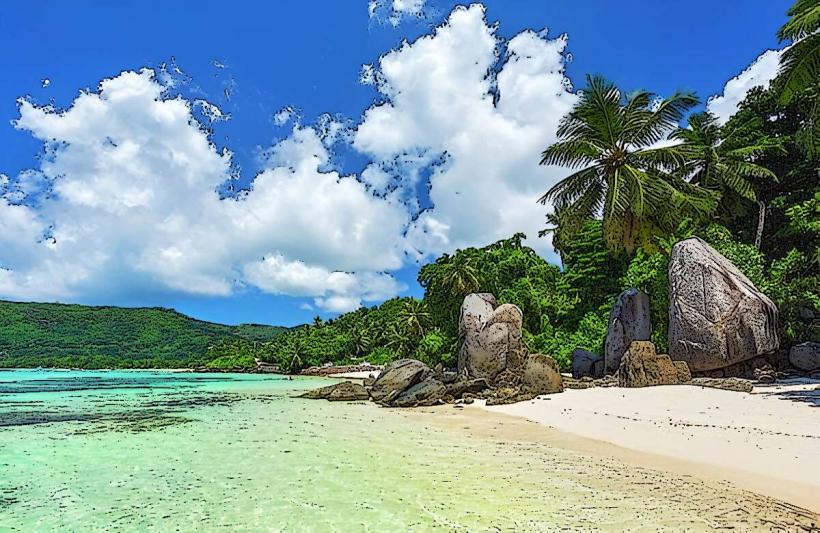
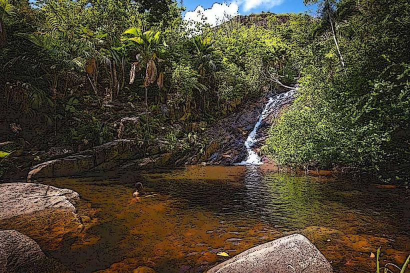
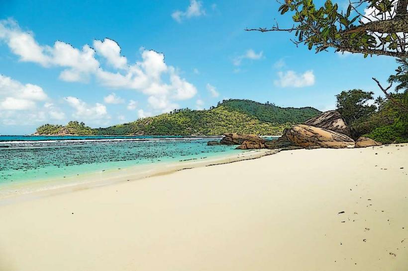
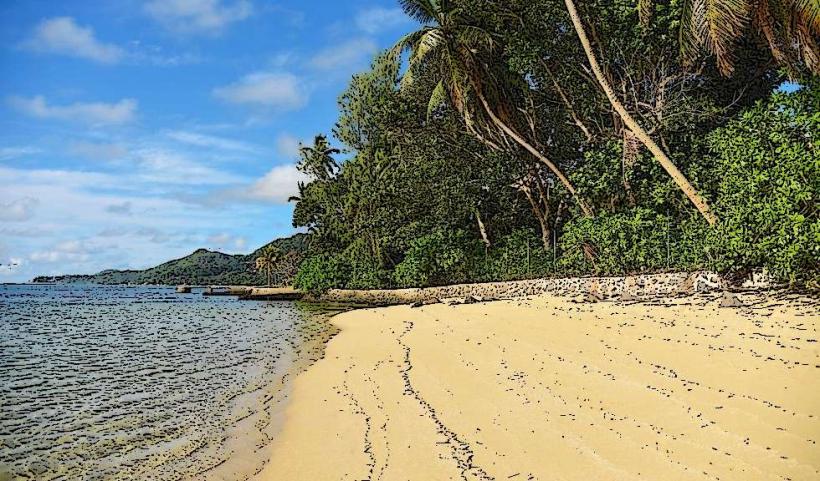
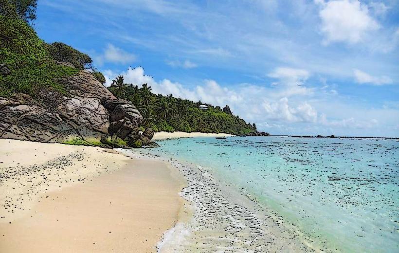
The trail traverses varied topography, including granite outcrops and dense tropical vegetation. Expect to encounter endemic flora such as takamaka trees and various palm species. The path itself is primarily composed of compacted earth and exposed rock, with some sections featuring constructed stone steps.
Location & Access Logistics
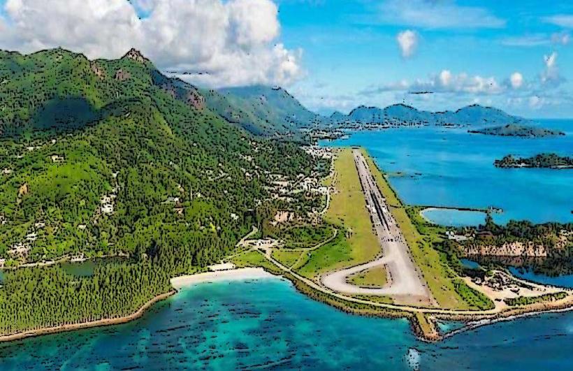
The trailhead is situated approximately 3 kilometers southwest of Victoria, the capital city. Access is via the Sans Souci Road (M1). Parking is available at a designated small lot near the start of the trail. Public transport options are limited; the closest bus stop is approximately 1.5 kilometers from the trailhead, requiring a walk along the road.
Historical & Ecological Origin
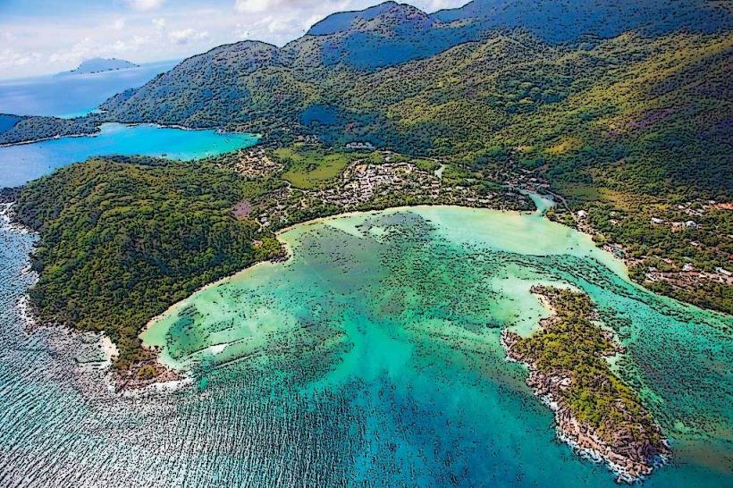
The trail follows routes historically used by locals for access and resource gathering. Ecologically, it passes through a section of Mahé's central highlands, characterized by montane forest and granite formations, representing a significant portion of the island's native terrestrial ecosystem.
Key Highlights & Activities
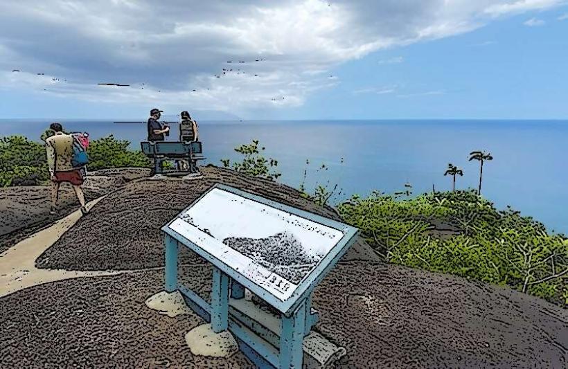
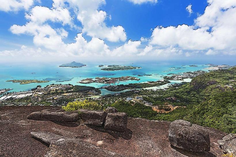
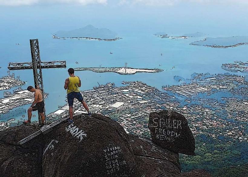
Hiking the full loop is the primary activity. The trail leads to a summit viewpoint offering panoramic views of the surrounding islands and coastline. Observation of native bird species is possible. The trail is marked with painted blazes on trees and rocks.
Infrastructure & Amenities
There are no restrooms or designated rest areas along the trail. Shade is provided by the forest canopy in certain sections. Cell phone signal (4G/5G) is intermittent and unreliable throughout the hike. No food vendors are present at the trailhead or along the route.
Best Time to Visit
The best time of day for photography is mid-morning or late afternoon to avoid harsh overhead sunlight. The dry season, from May to October, offers the most favorable weather conditions with lower humidity and less rainfall. The trail is accessible year-round.
Facts & Legends
Local lore suggests that the trail was once used by smugglers to transport goods between the coast and inland settlements. A specific point on the trail is known for a large, unusually shaped granite boulder that resembles a sleeping giant.
Nearby Landmarks
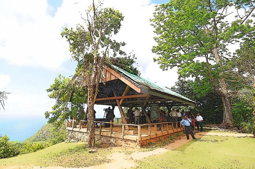
- Morne Seychellois National Park Visitor Centre (1.2km Northeast)
- Mission Lodge Ruins (1.8km North)
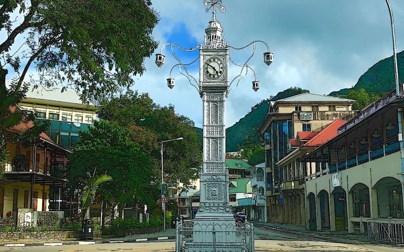
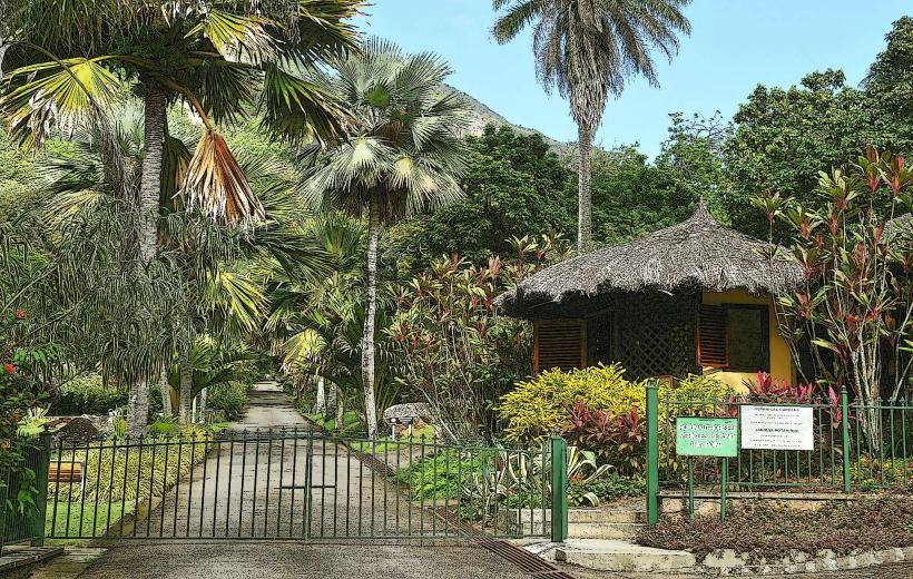
- Victoria Botanical Gardens (3.5km Northeast)
- Takamaka Distillery (4.1km Southwest)