Information
Landmark: Devghat DhamCity: Bhaktapur
Country: Nepal
Continent: Asia
Devghat Dham, Bhaktapur, Nepal, Asia
Devghat Dham is a major Hindu pilgrimage site and religious center situated at the confluence of the Trishuli and Kali Gandaki rivers in central Nepal. It lies at the junction of three districts-Tanahun, Chitwan, and Nawalparasi-and is colloquially known as the "Prayag of Nepal."
Visual Characteristics
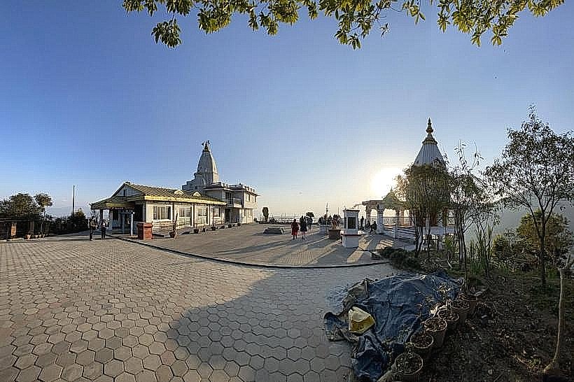
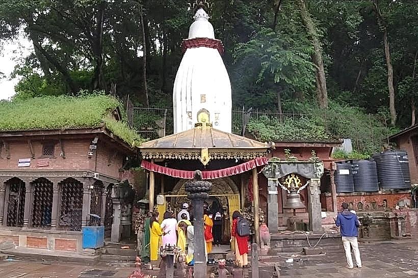
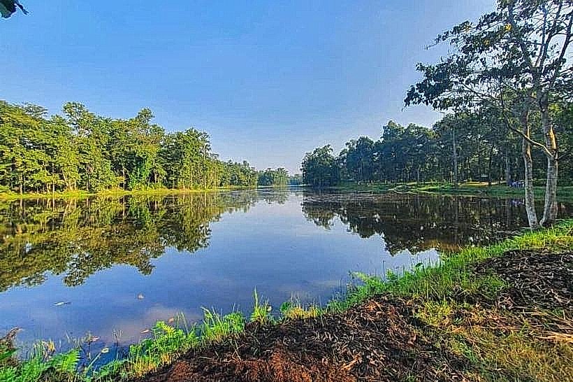
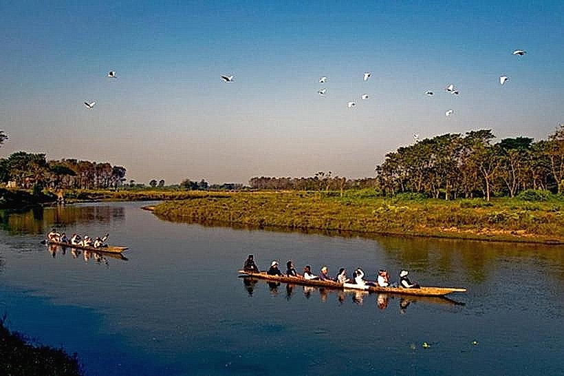
The landmark is defined by the Beni, the triangular confluence point where the black waters of the Kali Gandaki meet the lighter-colored Trishuli. The terrain is characterized by deep ravines, high riverbanks, and dense forests of Sal (Shorea robusta), Pipal, and Rudraksha trees. The architecture consists of a high density of small stone and brick temples, traditional mud-and-thatch ashrams, and a large metal suspension bridge connecting the Tanahun and Chitwan banks.
Location & Access Logistics
The site is located 7 km northwest of the city of Narayangarh and 150 km southwest of Kathmandu. Access is via the Narayangarh-Devghat Road, which is partially paved; public micro-buses and taxis operate regularly from the Pokhara Bus Park in Narayangarh. For long-distance travel, daily flights land at Bharatpur Airport (BHR), approximately 12 km away, followed by a 30-minute vehicle transfer.
Historical & Ecological Origin
Devghat is mentioned in ancient Vedic scriptures, including the Baraha Purana and Skanda Purana, as "Adi Prayag." It is historically significant as the 16th-century meditation site of King Mukunda Sen of Palpa, who is said to have attained Nirvana at the Chakreshwar Temple. Ecologically, the riverbanks are the primary source of Shaligrams-fossilized ammonite stones considered incarnations of Lord Vishnu-which originate from the high Himalayan Mustang region.
Key Highlights & Activities
Ritual bathing at the Beni confluence is the primary religious activity, believed to cleanse sins. Visitors can explore the Sita Gufa (Sita’s Cave) and the Vasistha Gufa, or visit the various old-age homes and Vedic schools (Gurukuls) located within the ashram complex. Boat crossings are available for reaching different river sections, and the suspension bridge provides a vantage point for observing the river junction.
Infrastructure & Amenities
The area features several retirement homes, an Ayurvedic health station, and basic restrooms located near the main temple clusters. High-speed 4G cellular signal is reliable due to its proximity to Narayangarh, though indoor reception in stone caves is non-existent. There are no star-rated hotels within the immediate religious zone; food is limited to vegetarian tea shops and street vendors selling religious offerings and snacks.
Best Time to Visit
The most significant time to visit is during the Makar Sankranti festival in mid-January, when hundreds of thousands of pilgrims gather for the holy dip. For general visitation, November through February provides cool, dry weather with daytime temperatures around 22°C. Early morning (04:00–06:00) is the preferred time for witnessing local rituals and prayers.
Facts & Legends
According to the Ramayana, Devghat is the site where Goddess Sita finally entered the earth after her exile. A unique local oddity is the Chakreshwar Sila, a sacred stone where King Mukunda Sen is said to have left his footprints. Many elderly Hindus relocate here permanently during their "Vanaprastha" stage of life, believing that dying within the boundaries of Devghat ensures an immediate transition to the divine realm.
Nearby Landmarks
Maula Kalika Temple – 4.2km Southwest
Narayangarh City Center – 6.5km South
Narayani River Bridge – 5.8km South
Bharatpur Medical College – 7.2km Southeast
Gai Ghat – 3.5km Northeast