Information
Landmark: Devo PeakCity: Taveuni
Country: Fiji
Continent: Australia
Devo Peak, Taveuni, Fiji, Australia
Devo Peak, also known as Des Voeux Peak, is the second-highest mountain on Taveuni, reaching an elevation of approximately 1,195m (3,921ft). It is a critical site for telecommunications, biodiversity, and as an access point for the central highlands.
Visual Characteristics
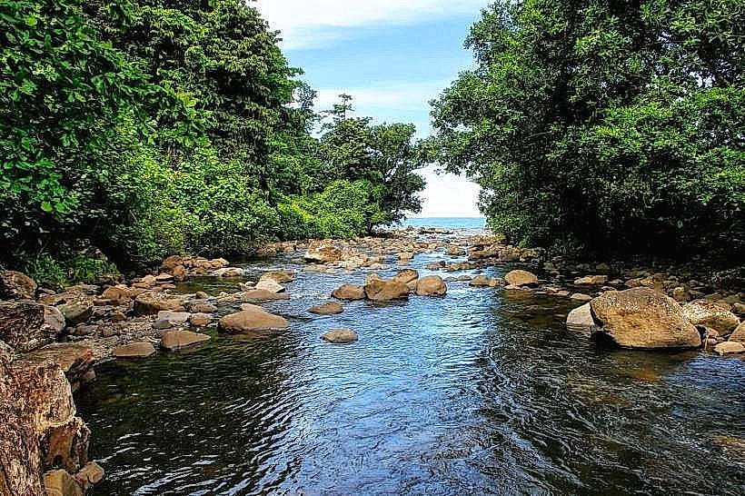
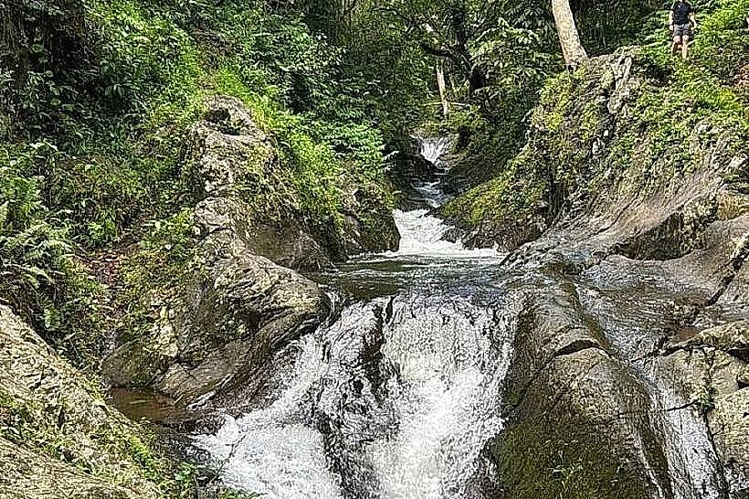
The peak is a steep, volcanic summit often enveloped in cloud forest. The lower slopes consist of agricultural land and secondary forest, while the upper elevations feature primary rainforest with prehistoric tree ferns and moss-covered hardwoods. The summit is occupied by several large telecommunications towers and a small service clearing.
Location & Access Logistics
The peak is located in the central mountain range of Taveuni, positioned roughly between the towns of Somosomo and Wairiki.
Access: A rugged, unpaved service road leads to the summit. It is used by service vehicles for the telecommunications towers.
Transit: Requires a 4WD vehicle; the track is steep, narrow, and often muddy. Most visitors hire a local driver from the Somosomo/Waiyevo area.
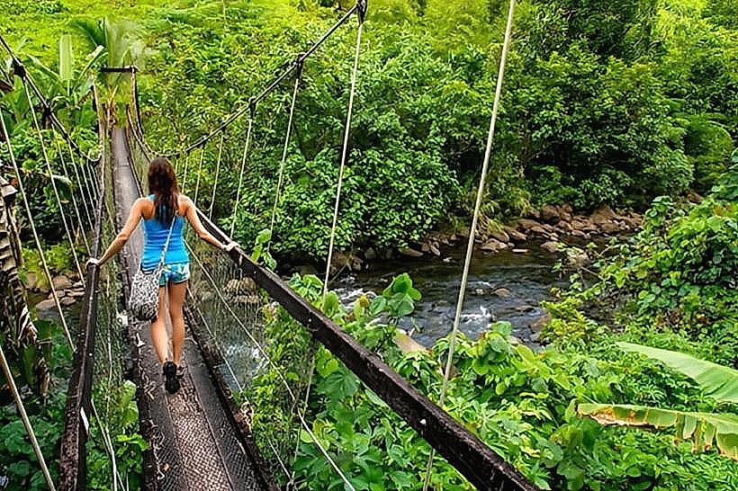
Trekking: Many choose to walk the road (approx. 2–3 hours uphill) for birdwatching and scenic views. It also serves as the primary trailhead for the trek to Lake Tagimaucia.
Ecological & Scientific Value
Due to its elevation and isolation, Devo Peak is a renowned birdwatching destination.
Avifauna: Habitat for the Orange Fruit Dove, Fiji Silktail, and Red-shining Parrot.
Flora: Home to the endemic Tagimaucia flower, which grows on the higher slopes and near the adjacent lake.
Climate: Temperatures at the peak are significantly cooler than at sea level, often dropping to 15°C (59°F) with high humidity and frequent rainfall.
Infrastructure & Amenities
Facilities: No public facilities or visitor centers exist at the summit.
Utility: The peak hosts the primary microwave links and radio transmitters for the northern division of Fiji.
Connectivity: Due to the towers, cellular signal is exceptionally strong at the summit, though it can be blocked by the mountain's mass on the leeward sides.
Nearby Landmarks
Lake Tagimaucia: 1.5km East (via forest trail)
Somosomo Village: 6.0km Northwest
Wairiki Mission: 7.0km West
International Dateline Sign: 5.5km Northwest
Waitavala Waterslide: 4.5km West