Information
Landmark: Domboshaba RuinsCity: Francistown
Country: Botswana
Continent: Africa
Domboshaba Ruins, Francistown, Botswana, Africa
Domboshaba Ruins is an archaeological site located in the North-East District of Botswana, approximately 60 kilometers north of Francistown.
Visual Characteristics
The site consists of stone walls, primarily constructed from roughly dressed granite blocks. These walls form enclosures and terraces on a rocky outcrop. The stone exhibits a grey to reddish-brown coloration. Vegetation around the ruins is characterized by dry savanna, with scattered acacia trees and shrubs.
Location & Access Logistics
Access to Domboshaba Ruins is via the A3 highway (Francistown-Masunga road). The turn-off is approximately 50 kilometers from Francistown, marked by a signpost. A gravel road, approximately 10 kilometers in length, leads to the site. Vehicle access is generally suitable for 2WD vehicles in dry conditions. Parking is available at the base of the hill leading to the ruins. There are no public transport services directly to the site.
Historical & Ecological Origin
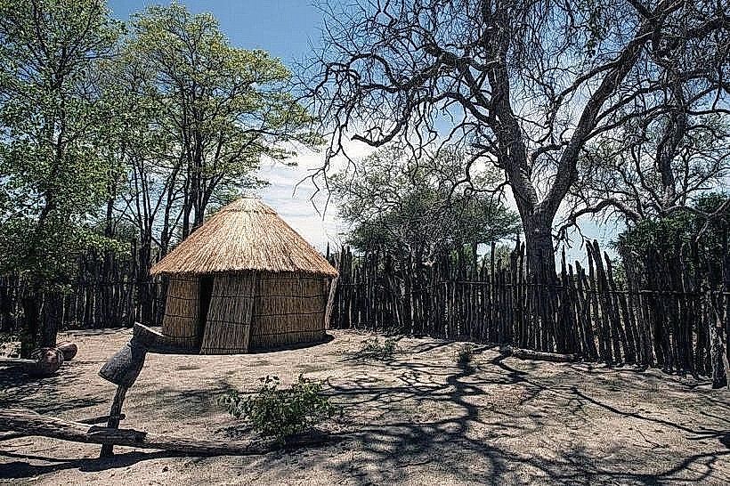
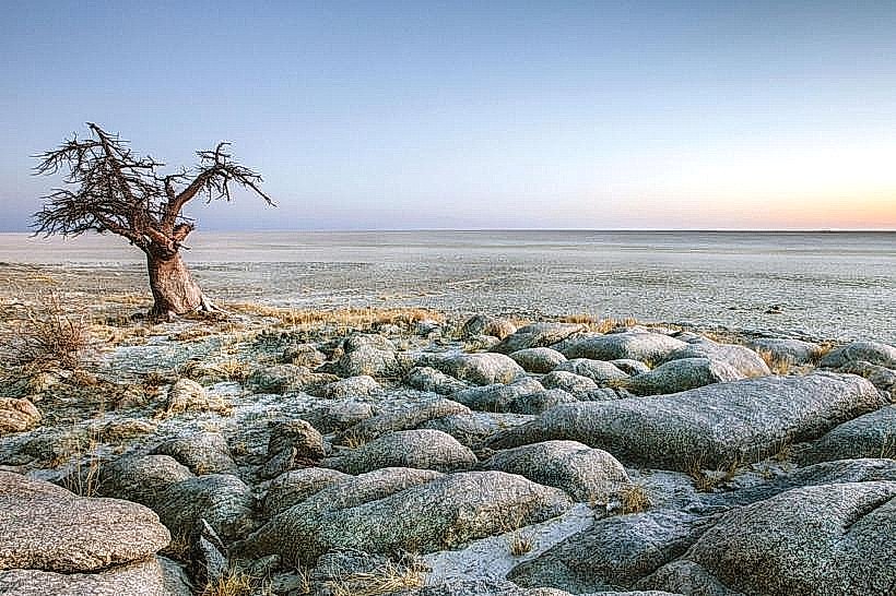
Domboshaba is believed to have been a significant settlement of the Bakalanga people, dating back to the 15th century. It served as a political and religious center. The ruins represent a complex stone-building tradition that predates European colonization in the region. The site is situated on a granite inselberg, a common geological feature in this part of the Kalahari.
Key Highlights & Activities
Exploration of the stone enclosures and terraces. Observation of the architectural layout and construction techniques. Hiking to the summit of the hill for panoramic views of the surrounding landscape. Educational visits focusing on the history of the Bakalanga people.
Infrastructure & Amenities
Basic restroom facilities are available at the site entrance. Limited shade is provided by natural rock overhangs. Cell phone signal (4G) is intermittent. No food vendors are present at the ruins; visitors should bring their own provisions.
Best Time to Visit
The best time of day for photography is during the early morning or late afternoon when the sunlight creates distinct shadows on the stone structures. The dry season, from May to October, offers the most favorable weather conditions with lower humidity and minimal rainfall. There are no tidal considerations at this inland site.
Facts & Legends
Local oral traditions suggest that Domboshaba was a capital city for a powerful chiefdom. A specific legend speaks of a sacred python that was believed to protect the settlement. The ruins are a UNESCO World Heritage Tentative List site.
Nearby Landmarks
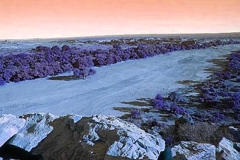
- Tati River (15km South-West)
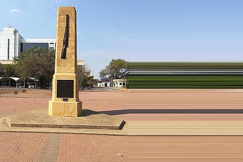
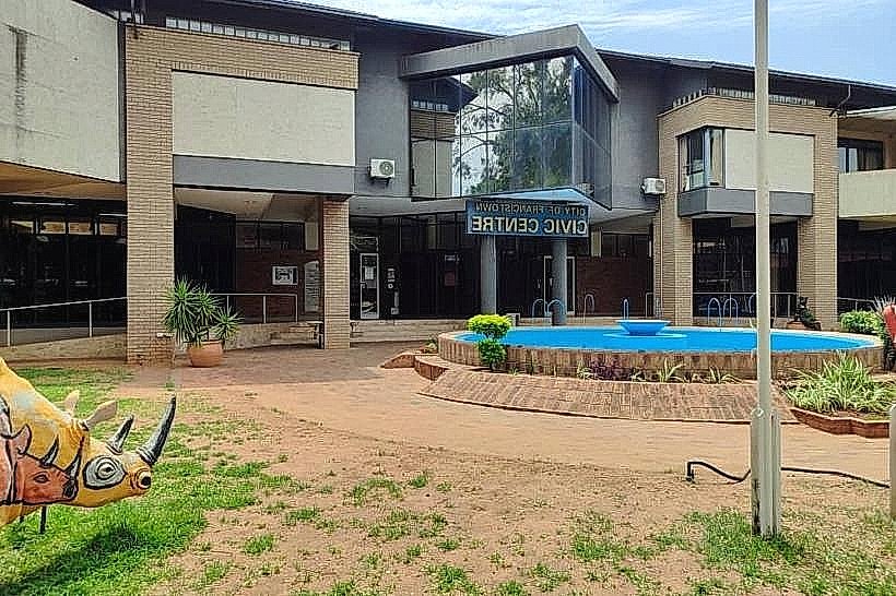
- Francistown City Centre (60km South)
- Nswazi Village (25km North-West)
- Bluebird Mine (40km South-East)