Information
Landmark: Makgadikgadi PansCity: Francistown
Country: Botswana
Continent: Africa
Makgadikgadi Pans, Francistown, Botswana, Africa
The Makgadikgadi Pans are a large salt pan complex located in north-central Botswana. They represent one of the largest salt pans in the world.
Visual Characteristics
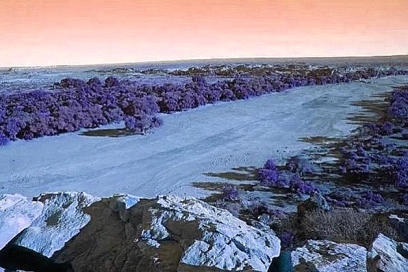
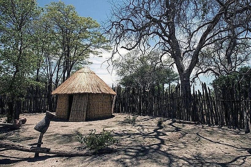
The pans consist of vast, flat expanses of salt crust, often appearing white or pale grey. During the dry season, the surface is cracked and dry. Following significant rainfall, shallow water can cover large areas, reflecting the sky. Vegetation is sparse, primarily consisting of drought-resistant grasses and acacia trees around the periphery.
Location & Access Logistics
The Makgadikgadi Pans are situated approximately 150 km west of Francistown. Access is primarily via unpaved roads. The main access points are from the A3 highway, with turnoffs towards Nata and Gweta. Self-drive vehicles, preferably 4x4, are recommended due to sandy and potentially muddy conditions after rain. No public transport directly serves the pans. Parking is generally unrestricted in designated areas or where vehicles can safely stop.
Historical & Ecological Origin
The Makgadikgadi Pans are the remnants of a prehistoric super-lake that once covered much of Botswana. This lake existed for millions of years, with its final desiccation occurring around 10,000 years ago. The pans are classified as a playa, a dry lakebed.
Key Highlights & Activities
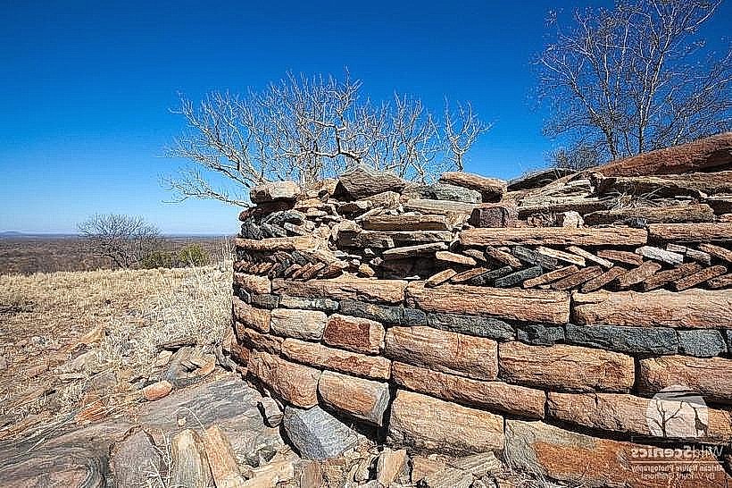
Activities include quad biking across the salt crust (in dry conditions), stargazing due to minimal light pollution, and wildlife viewing, particularly during the wet season when migratory birds and animals congregate. Camping is permitted in designated areas. Exploring the edges of the pans can reveal fossilized shorelines.
Infrastructure & Amenities
Basic infrastructure is limited. Restrooms are typically found at lodges or campsites on the periphery. Shade is minimal on the open pans, with acacia trees providing limited cover at the edges. Cell phone signal is unreliable and often absent within the pans themselves. Food vendors are not present on the pans; supplies must be brought in.
Best Time to Visit
The best time for wildlife viewing and potential water presence is during the wet season, typically from November to April. For dry conditions suitable for driving across the pans, the dry season from May to October is preferable. Sunrise and sunset offer distinct lighting conditions for photography, with the low sun angle creating long shadows across the salt crust.
Facts & Legends
The Makgadikgadi Pans are home to the second-largest zebra migration in Africa, which occurs annually in response to rainfall. A unique tip for visitors is to carry extra water and fuel, as services are extremely scarce.
Nearby Landmarks
- Nata Bird Sanctuary (15km East)
- Gweta village (30km West)
- Kubung Game Drive (40km South-West)
- Khama Rhino Sanctuary (120km South-East)