Information
Landmark: Drin River GorgeCity: Diber
Country: Albania
Continent: Europe
Drin River Gorge, Diber, Albania, Europe
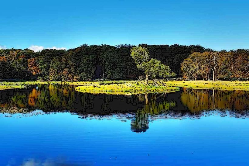
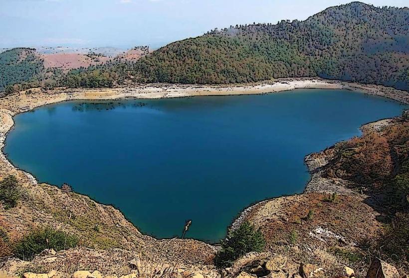
The Drin River Gorge (Grykëderdhja e Drinit) in the Dibër region refers to the dramatic canyon sections formed by the Black Drin (Drin i Zi) as it cuts through the limestone and serpentine mountains of northeastern Albania. This geographical feature is a primary corridor connecting the Dibër basin with the Kukës region to the north.
Visual Characteristics
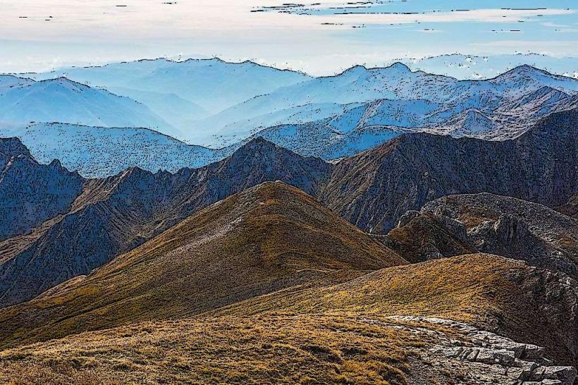
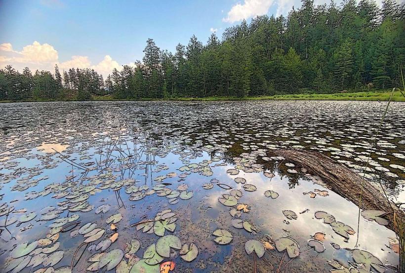
The gorge is defined by vertical limestone cliffs rising several hundred meters above the riverbed. The water color fluctuates between deep emerald and silt-heavy turquoise depending on the season and rainfall. The terrain is characterized by "karst" topography, featuring numerous caves, natural stone arches, and narrow river passages. The vegetation on the cliff faces consists of hardy Mediterranean shrubs and stunted oak trees clinging to the rock.
Location & Access Logistics
The gorge sections are located between the city of Peshkopi and the town of Kukës. The most accessible viewpoints are found along the SH15 and SH31 roads. Access to the river level often requires navigating steep, unpaved local paths used by shepherds. Due to the construction of hydroelectric dams downstream, the water flow is regulated, but the upper gorge remains largely wild. A 4x4 vehicle is highly recommended for exploring the secondary roads that parallel the canyon rim.
Historical & Ecological Origin
The Black Drin originates from Lake Ohrid and carves this gorge as it moves toward its confluence with the White Drin. Geologically, the gorge was formed by the river's erosive force acting upon the tectonic uplift of the Korab and Lura mountain ranges. Historically, the gorge served as a natural defensive barrier and a vital trade route for caravans moving from the interior Balkans toward the Adriatic coast. It is a critical habitat for the golden eagle and various species of river trout.
Key Highlights & Activities
Rafting and kayaking are the primary adventurous activities, though they are mostly organized by specialized seasonal tours due to varying water levels. Hiking along the canyon rim offers panoramic views of the Skavica area. The gorge is also known for its "Cold Water" (Uji i Ftohtë) springs that emerge directly from the limestone walls. Photography is a major draw, particularly at the narrowest points where the cliffs nearly meet.
Infrastructure & Amenities
Infrastructure is minimal and focused on the small villages situated above the gorge, such as Arras or Fushë-Cidhën. There are no developed visitor centers or public restrooms within the gorge itself. Some local guesthouses provide logistics for hikers and rafters. 4G cellular signal is available on the ridges but frequently drops to zero within the deep canyon sections.
Best Time to Visit
The optimal period is from May to October. Spring (May–June) provides the highest water levels and vibrant green vegetation, while early autumn (September–October) offers stable weather and easier access to the riverbank. Winter visits are discouraged due to the risk of rockfalls and icy conditions on the narrow access roads.
Facts & Legends
Local oral history often mentions the "Bridge of the Eagle," a natural rock bridge (now partially collapsed) that was said to be the only crossing point for high-altitude travelers. A modern geopolitical fact is that the gorge is the site of the proposed Skavica Hydroelectric Power Plant, a project that has sparked significant environmental debate regarding the potential flooding of the valley's historic villages.
Nearby Landmarks
Black Drin River (On-site)
Peshkopi City (15.0km Southeast)
Lura National Park (20.0km West)
Mount Korab (30.0km East)
Skavica Area (10.0km North)