Information
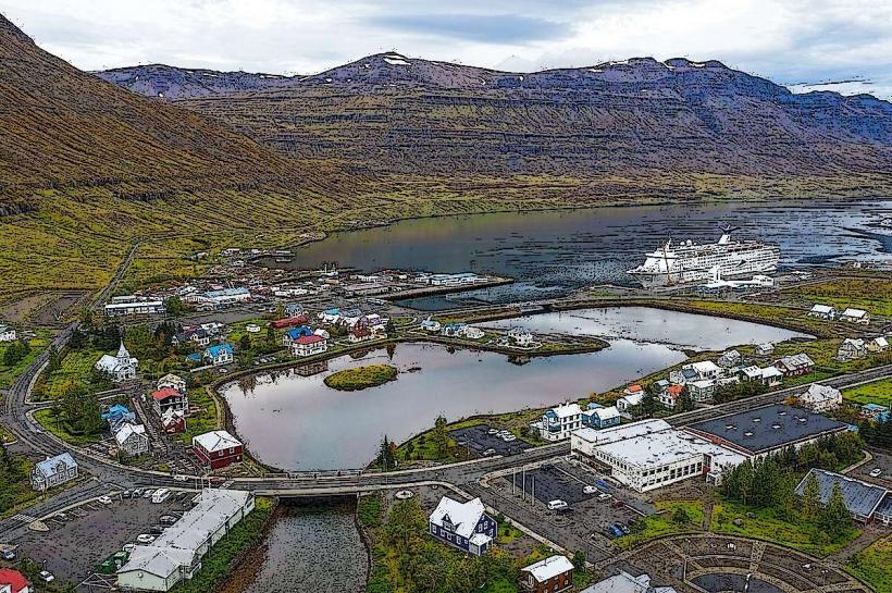
Landmark: Fjarðará RiverCity: Seydisfjordur
Country: Iceland
Continent: Europe
Fjarðará River, Seydisfjordur, Iceland, Europe
Visual Characteristics
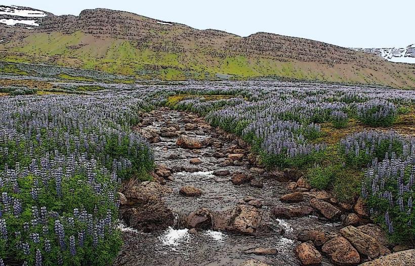
The river features clear, cold glacial meltwater, often appearing turquoise or grey depending on light and sediment. Its course is marked by numerous waterfalls, including the prominent Gufufoss, and flows over dark volcanic rock formations. The riverbanks are characterized by sparse subarctic vegetation, primarily mosses, grasses, and dwarf willows.
Location & Access Logistics
The Fjarðará River runs directly through the town of Seydisfjordur. Access points are numerous along its course. The lower sections are accessible from the town center, approximately 0.5km from the ferry terminal. Parking is available in designated areas within Seydisfjordur. No specific public transport lines serve the river directly, as the town is small and walkable.
Historical & Ecological Origin
The Fjarðará River is a post-glacial river system, formed by meltwater from the surrounding mountains following the last ice age. Its course has carved through ancient basaltic lava flows, characteristic of Iceland's volcanic geology. The river ecosystem supports various freshwater fish species, including Arctic char and Atlantic salmon.
Key Highlights & Activities
Angling for Arctic char and Atlantic salmon is permitted with a valid permit. Hiking trails follow sections of the river, notably the path leading to Gufufoss. Photography of the waterfalls and river landscape is a primary activity. Kayaking is possible in certain calmer sections, dependent on water levels.
Infrastructure & Amenities
Public restrooms are available in the town center of Seydisfjordur, approximately 0.5-1km from various river access points. Natural shade is limited along the riverbanks. Cell phone signal (4G/5G) is generally reliable throughout Seydisfjordur and along the accessible river sections. Food vendors and restaurants are located within the town, not directly adjacent to the river.
Best Time to Visit
The optimal period for visiting is from June to September for milder weather and full accessibility. Early morning or late afternoon provides optimal lighting for photography of the waterfalls. Water levels are typically highest during spring melt and after heavy rainfall.
Facts & Legends
Local folklore suggests that the Fjarðará River is home to 'hidden folk' or elves, particularly near the larger waterfalls. A specific local tip is to observe the river's color variations; a greener hue often indicates higher glacial meltwater content.
Nearby Landmarks
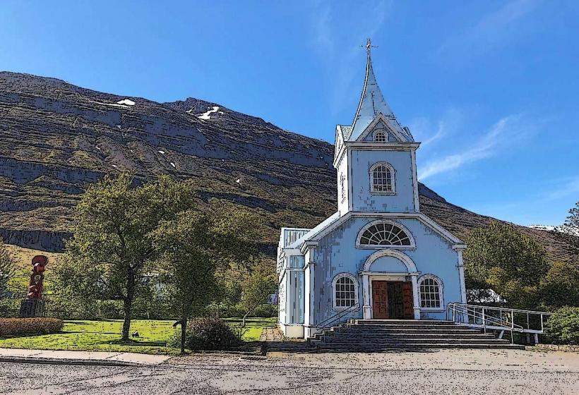
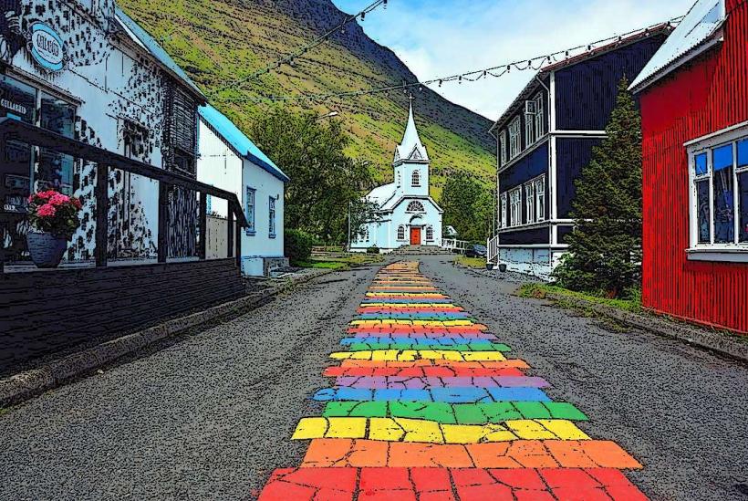
- Seydisfjordur Church: 0.3km West
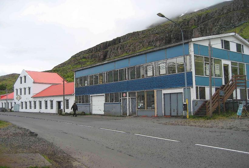
- Technical Museum of East Iceland: 0.4km West
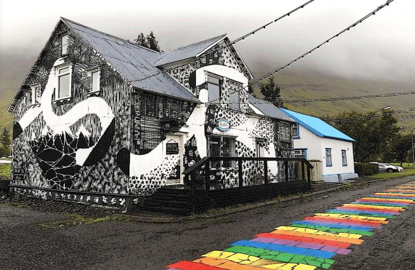
- Skaftfell Center for Visual Art: 0.2km West
- Gufufoss Waterfall: 3km East along Road 93